
Escaping the city for the autumn leaves and volcanic legacies of california’s mountains
I had been desperate to get away for a while. Away from the traffic, the concrete, the urban sprawl, and the noise that’s so prevalent in Southern California. I’d been craving the fresh, high-altitude air, sagebrush basins, cold mountain streams, and the quiet stillness you can only seem to find when there’s enough miles between you and the city.
Since booking the Air BnB back in August, each passing week garnered more and more excitement for that first week of October. I spent hours mapping out routes, marking sunrise and sunset locations, and checking weather and foliage forecasts in anticipation for what would be my first “peak week” of fall foliage in California.
This wouldn’t be a quick weekend getaway either. We would cover over two thousand miles along the Eastern Sierra, deep into the southern Cascades, down into the Central Valley, and an unexpected trip through Kings Canyon before finally making our way back home.
Here’s how those nine days searching for solitude unfolded…
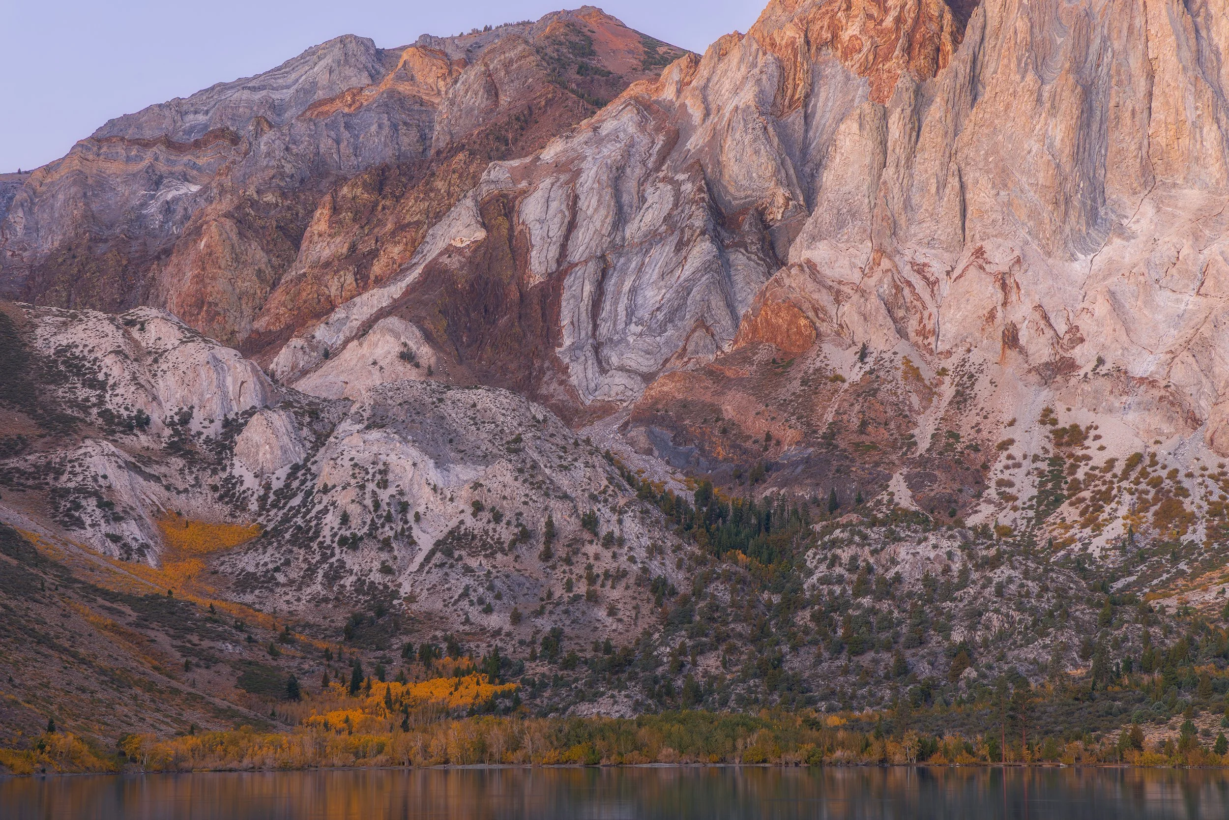
California Serenity, Canon EOS R5, 92mm | 0.8 sec., f/10, ISO 250
Day 1 - The Escape
It was an unfortunate time for us to try and escape LA. The clock struck 4 PM as we prepared to hit the road. Our destination, Mammoth Lakes, was just over 300 miles away, and should have only taken just over 4.5 hours to reach. However, as I started the car and entered the location, the travel duration popped up in bright red text – 6.5 hours. Knowing well that our ETA would place us there after 10 PM (that is, without any stops), we started our journey in a sort of misery.
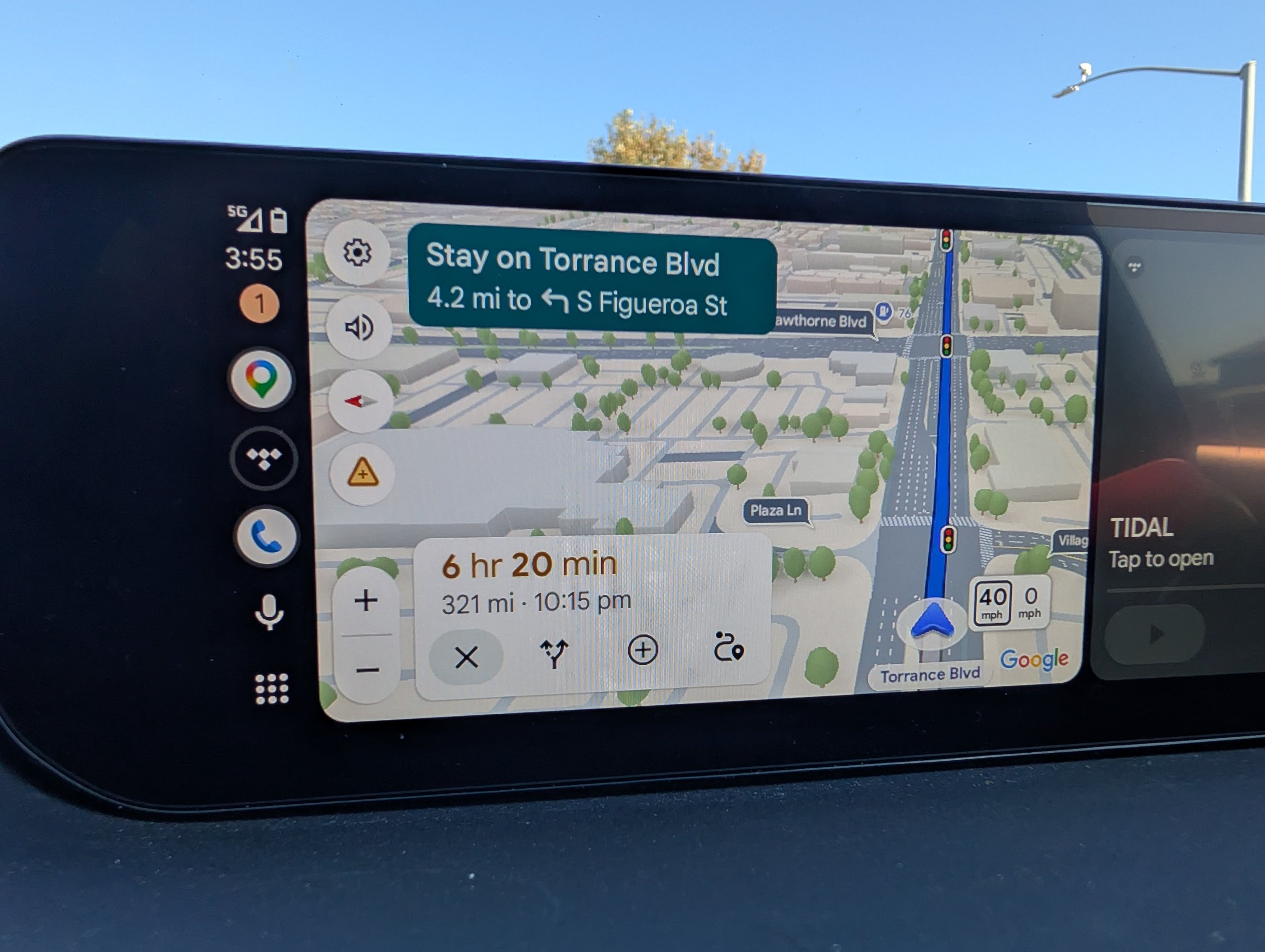
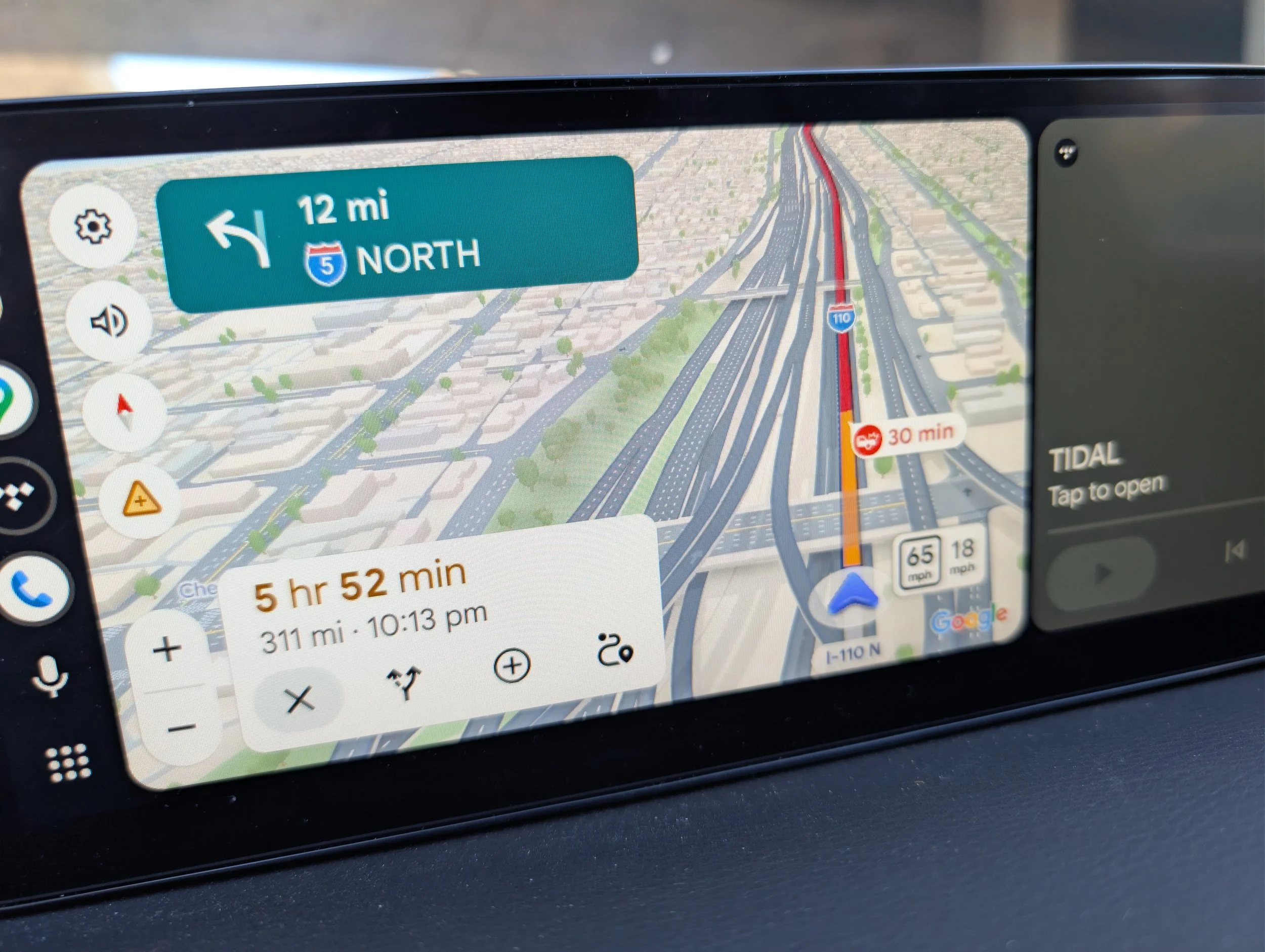
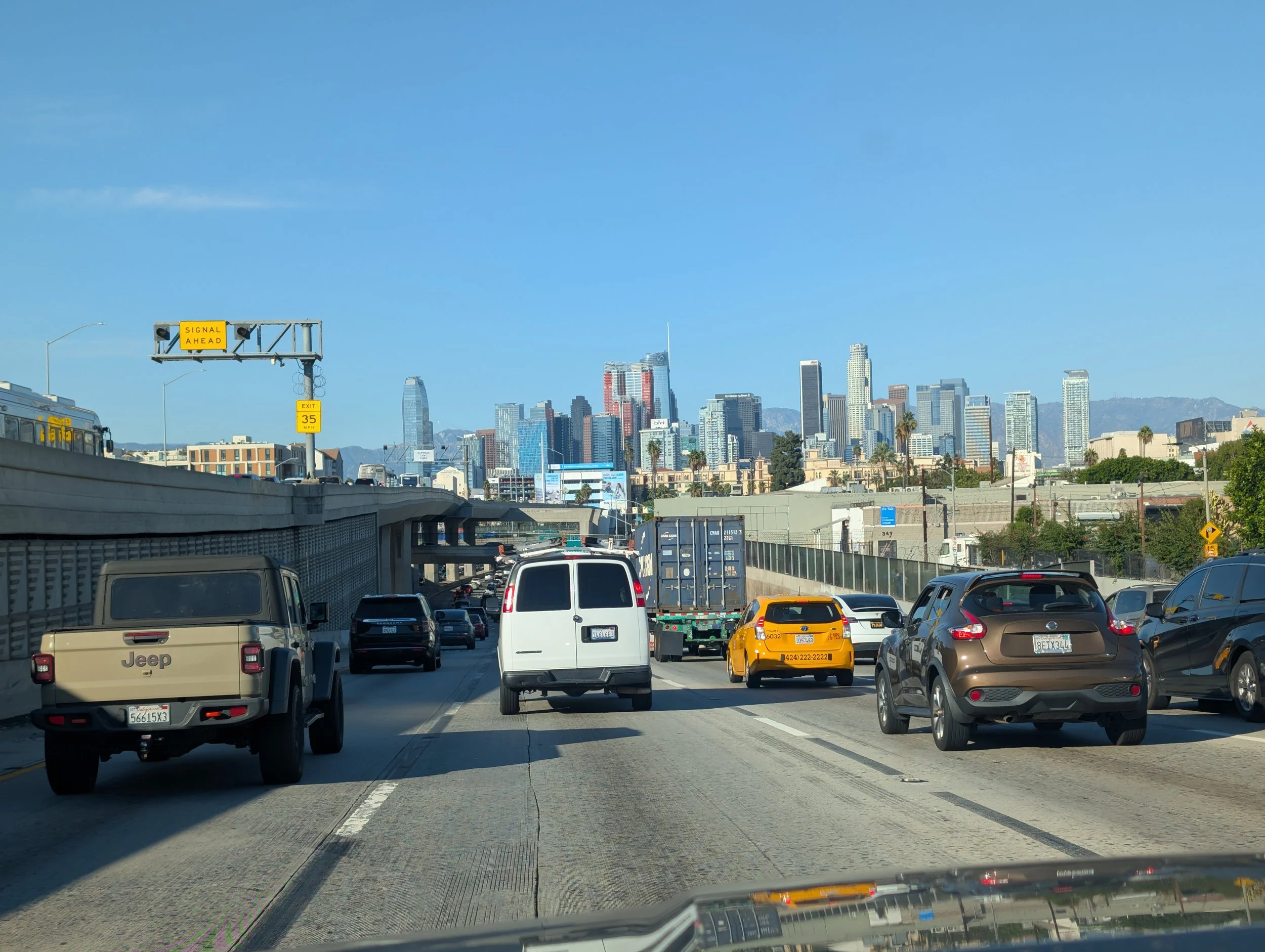
We had crawled onto the highway, and the traffic seemed to stretch endlessly. “+30 min for congestion,” the GPS alerted. I started getting nervous, wondering how long it would take to not only clear the city limits, but the county line, while sitting in the sea of brake lights and car horns.
After we finally limped through downtown, the GPS had found a faster way up into the desert – through the Angeles Crest Highway in the Angeles National Forest. I had been wanting to make my way up here for awhile now, so this was a great opportunity to scope things out. The road quickly dwindled into two lanes, and a steady line of traffic in-front-of and behind me snaked up the slopes of the San Gabriel Mountains. Soon, we had climbed a respectable 2,000 ft in just 4 miles (as the crow flies), and Meagan started to mention how nauseous she was feeling. We pressed on, knowing that the road would soon flatten and straighten out as we approached Palmdale, but we were unfortunately stopped by Amelia projectile vomiting her whole days’ worth of food.
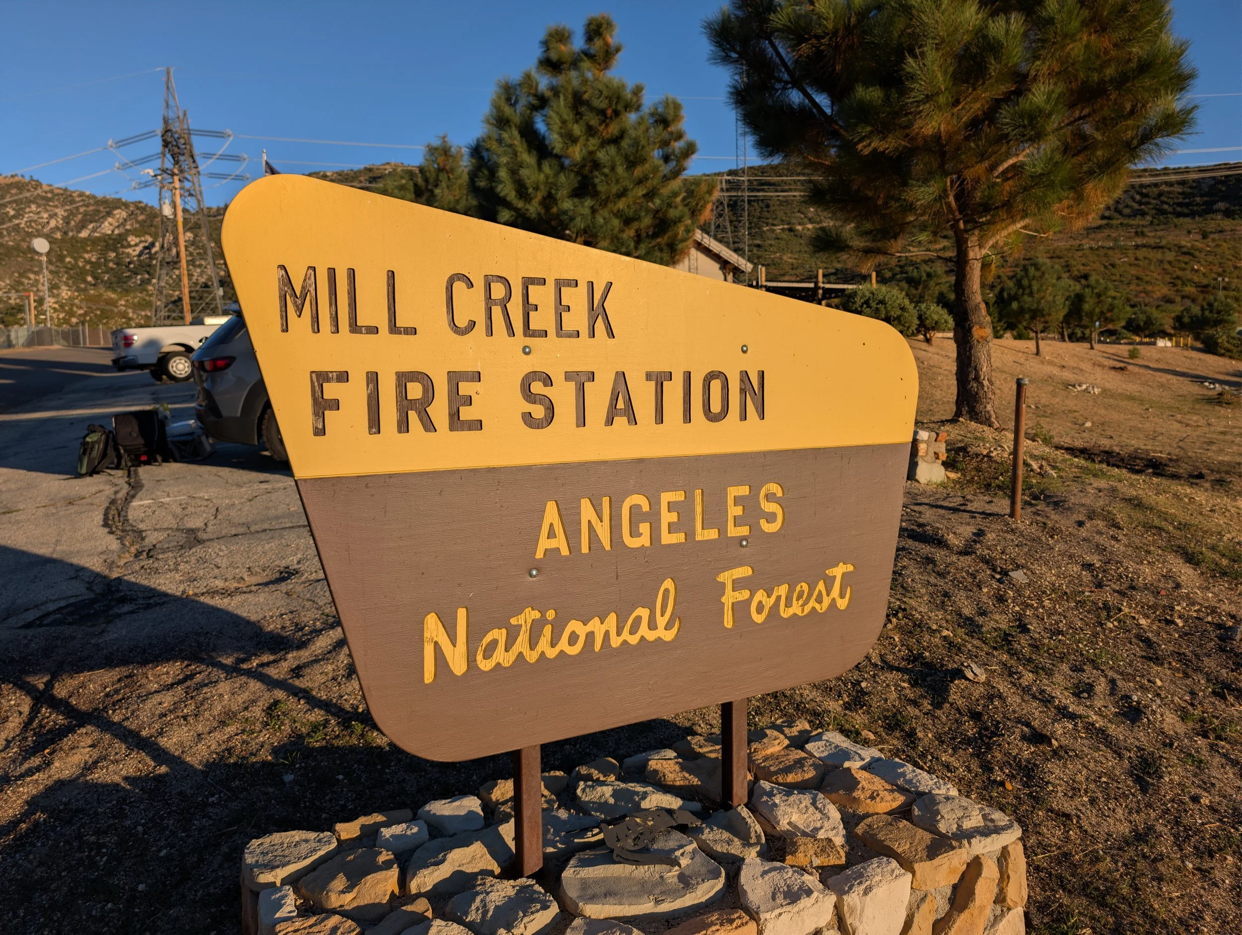
By some stroke of luck, right as she started to throw up, we happened to be right at a turn-off for the Mill Creek Fire Station, and we quickly got out of the car. Meagan and Amelia were covered in chunks of vomit, and her car seat was covered. We did what we could to clean up, got back into our smelly car, and hit the road again.
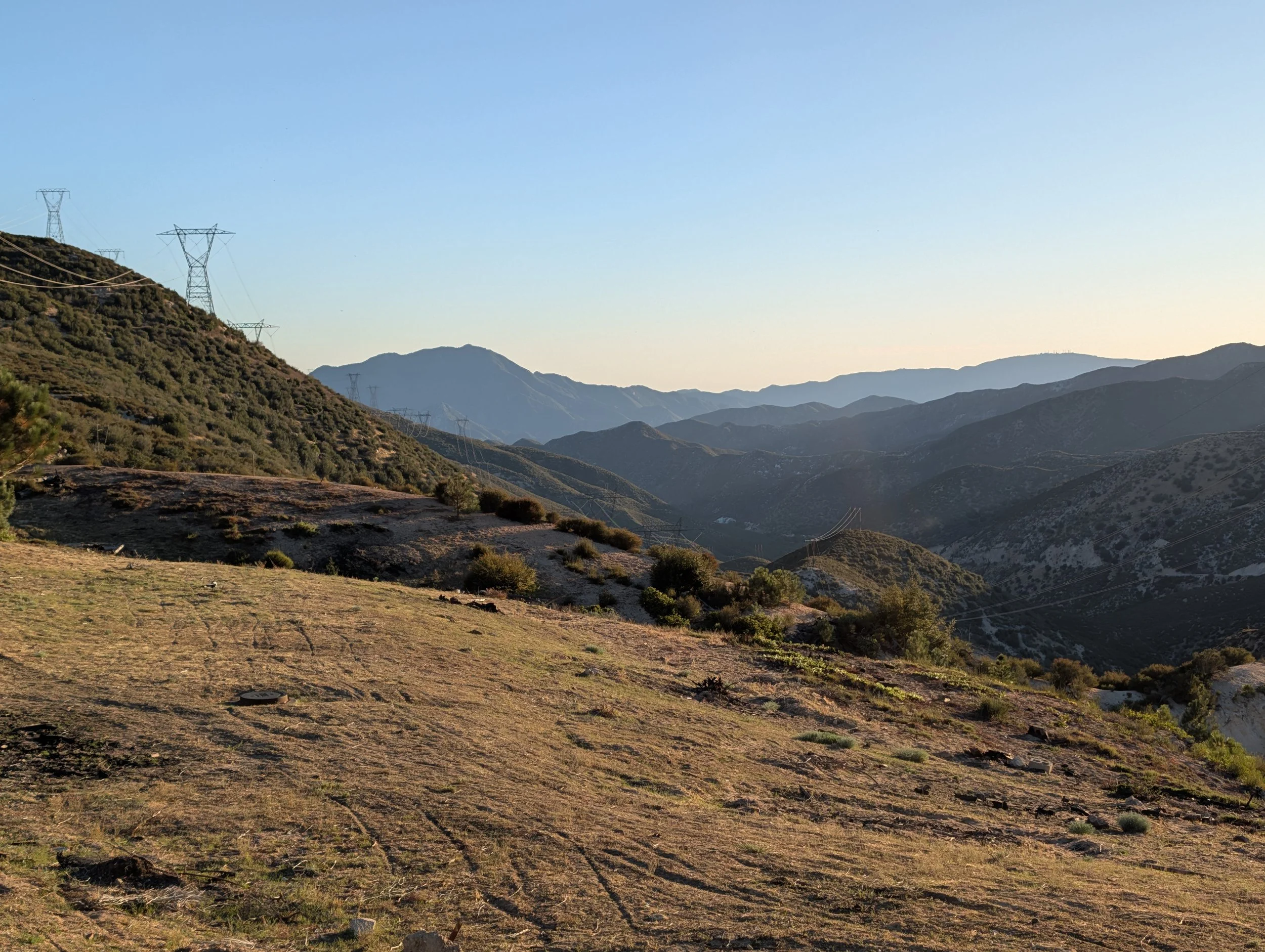
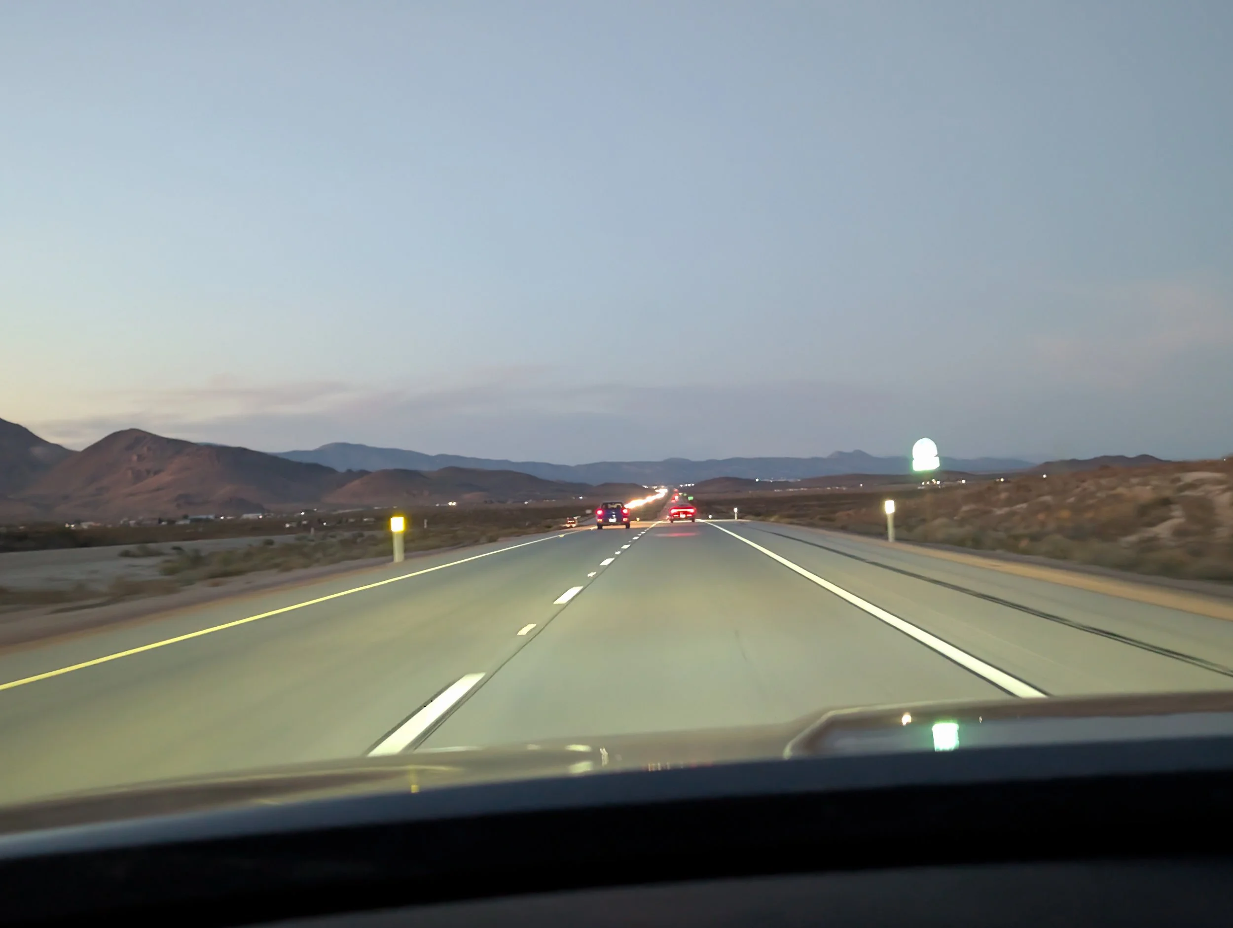
By the time we finally hit the open desert road, night had begun to fall, and we still had nearly four hours of driving ahead of us. Despite the encroaching darkness, it was a relief to finally see an open horizon. After a while, we were finally alone, driving through the velvety darkness of the high desert. Time dragged on, and after a few stops for gas, we finally rolled into our Air BnB just after 11 PM. We quickly unpacked the car, put Amelia down, and tried to get somewhat settled. Knowing the alarm was set for early the next morning, it was tough to wind down, and the last thing I recall was the clock being well past midnight…
Day 2 – Geothermal Steam and a Surprise Encounter
Hot Creek
5:30 AM. The sharp sound of my alarm rang out in the Air BnB, and I quickly jumped out of bed. The time for adventure was upon us. I got ready as fast and quietly as I could and started to load up the car. The plan was to be out-the-door by 6 AM to provide ample time at our sunrise destination. As is custom for these trips, Meagan didn’t really know what was in store (despite me sharing and going over the itinerary multiple times).
After getting to bed so late, I was not about to drive over an hour to reach our first sunrise spot. Instead, I settled on the Hot Creek Geological Site instead, mainly because it is a mere twenty minutes from Mammoth Lakes.
We were one of the first cars to pull down the dirt road leading to the overlook. After searching to find a place to park, I opened the doors and a sharp chill hit us. I threw on my winter Melanzana (if you know, you know) and upon getting my first glimpse of the Eastern Sierra, I immediately started to smile.
I walked down a narrow game trail from the overlook for an open, unobstructed view of the water winding its way through the gorge. Whenever the mist shifted in the wind, you could catch the faint sulfur smell in the air. I stood there for some time, watching the patterns of steam drift lazily across the dark water of the creek as a few other photographers started to trickle in. Besides the soft bubbling of the creek below and the faint whistle of the wind, it was completely quiet.
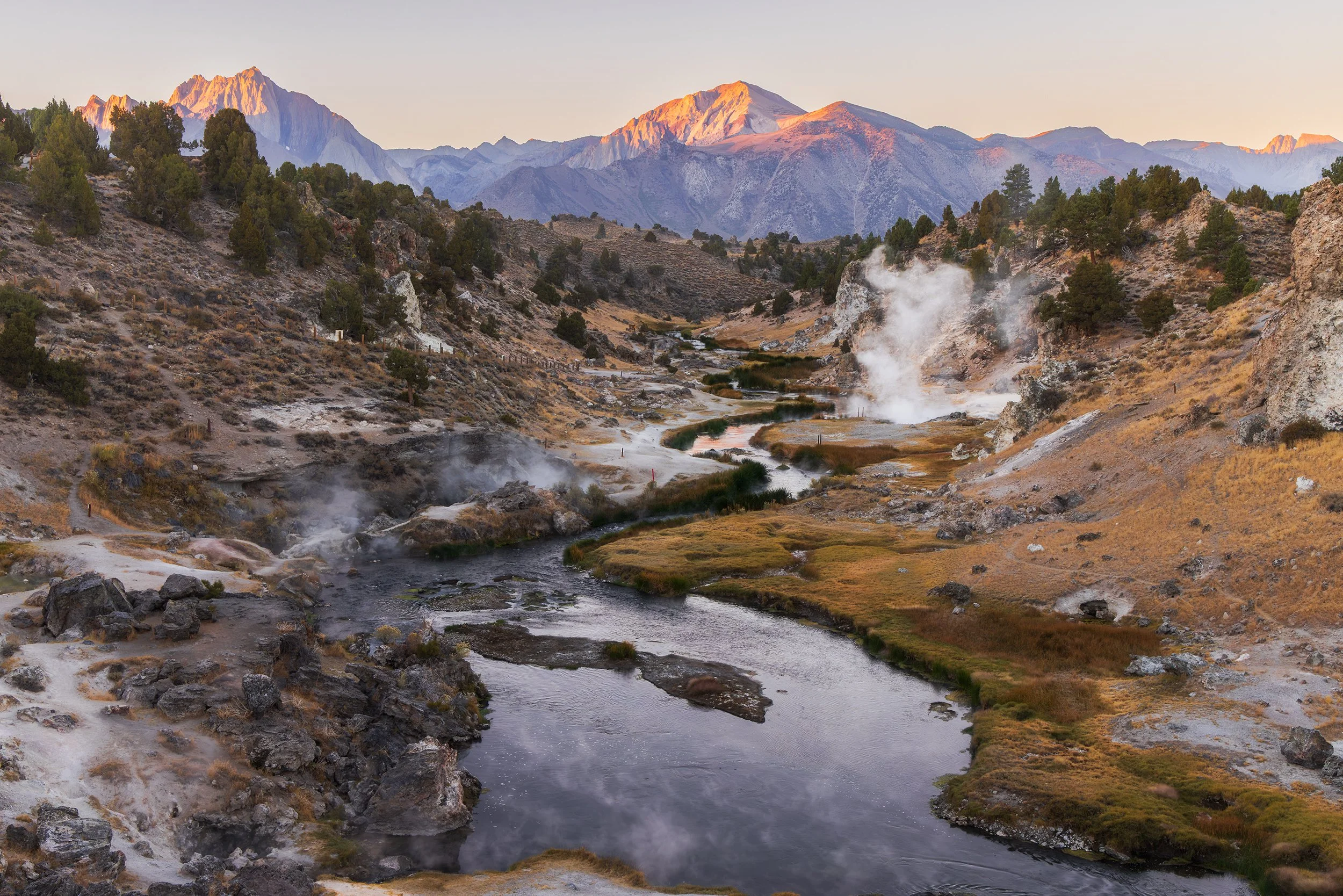
Hot Creek Sunrise, Canon EOS R5, 39mm | 1/40 sec., f/13, ISO 800
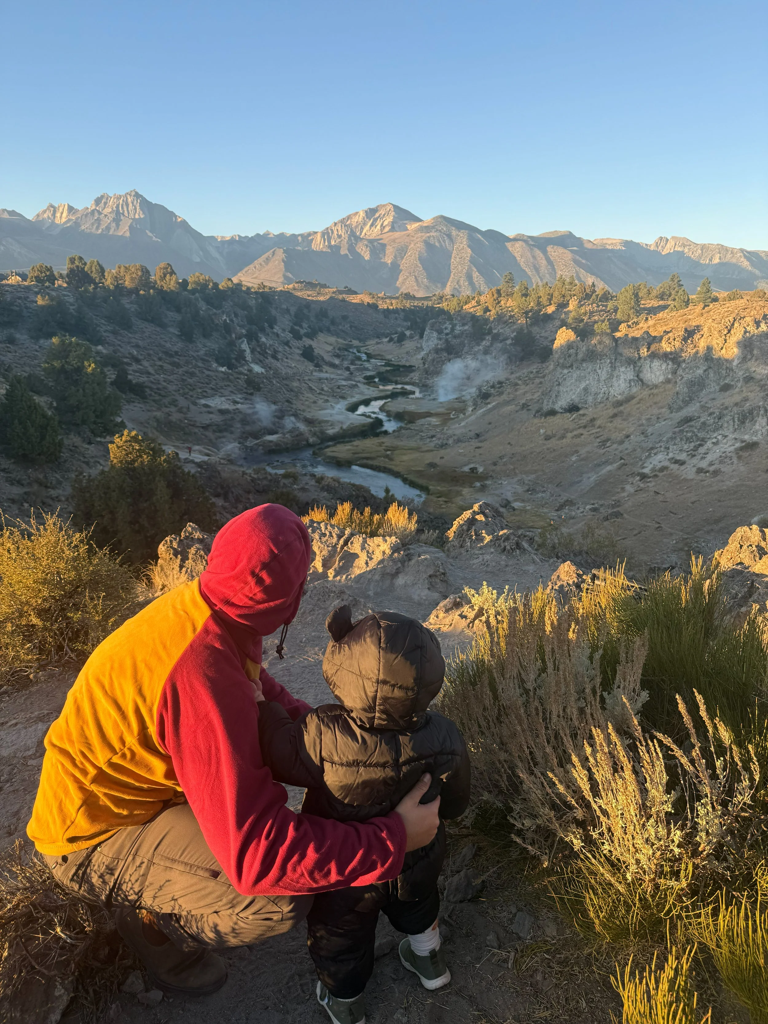
Then, the very first rays of morning light struck Mt. Morrison and Lauren Mountain. It started as a deep, vibrant red color, then slowly shifted into warm gold before eventually bright white as the sun rose higher into the morning sky.
After packing up my camera gear, we drove into town to stock up on groceries for the week, took a much-needed nap and spent some time at the Air BnB until it was time set out for sunset.
Virginia Lakes
We left the Air BnB early for sunset, at around 4 PM, as we had a nearly hour’s drive north to reach Virginia Lakes. The drive up HWY 395 was incredible. We passed wide-open sagebrush grasslands stretching out towards Nevada, drove through stands of tall Jeffrey pines lining the highway, and skirted past the strange, ancient shores of Mono Lake.
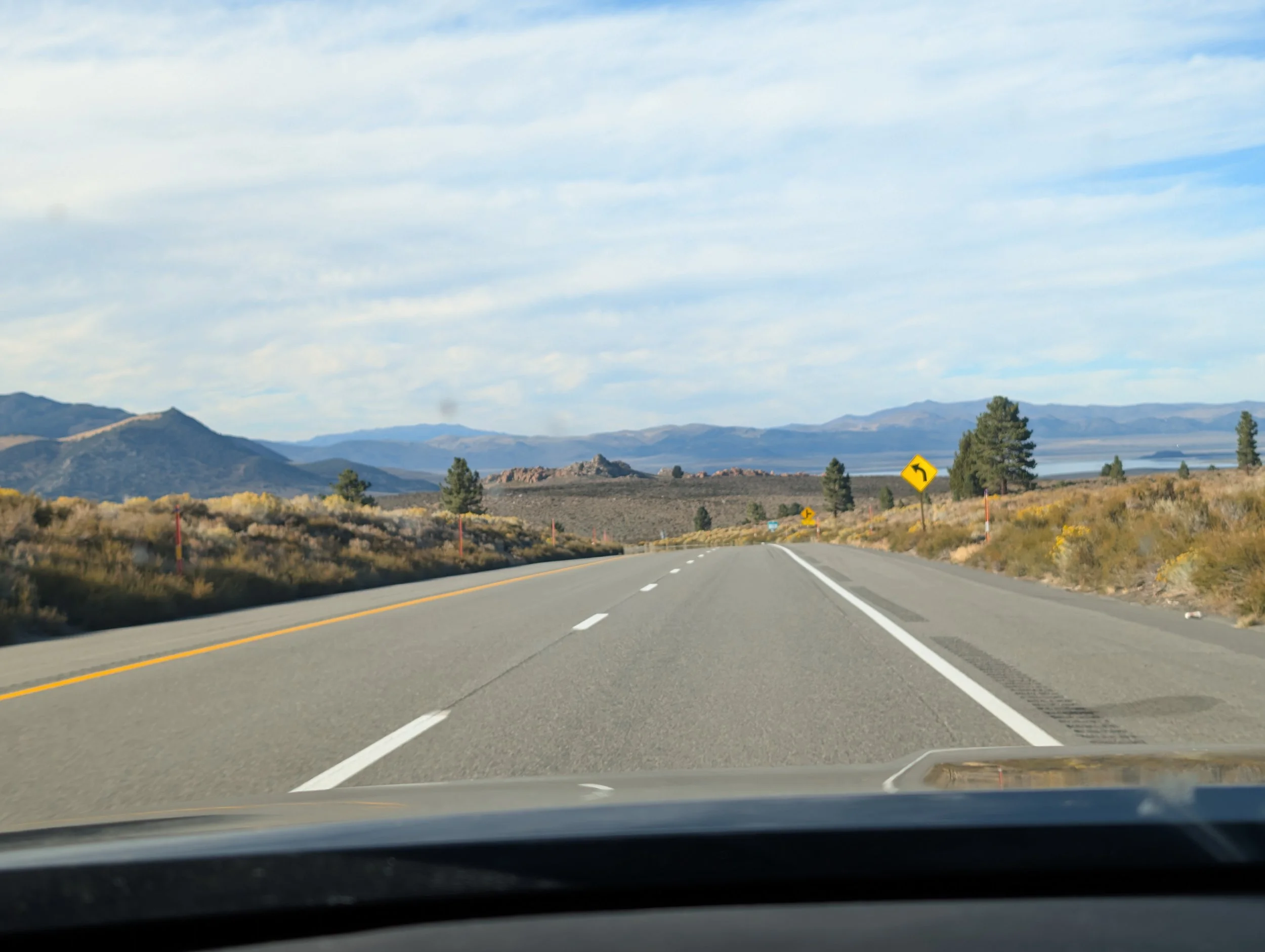
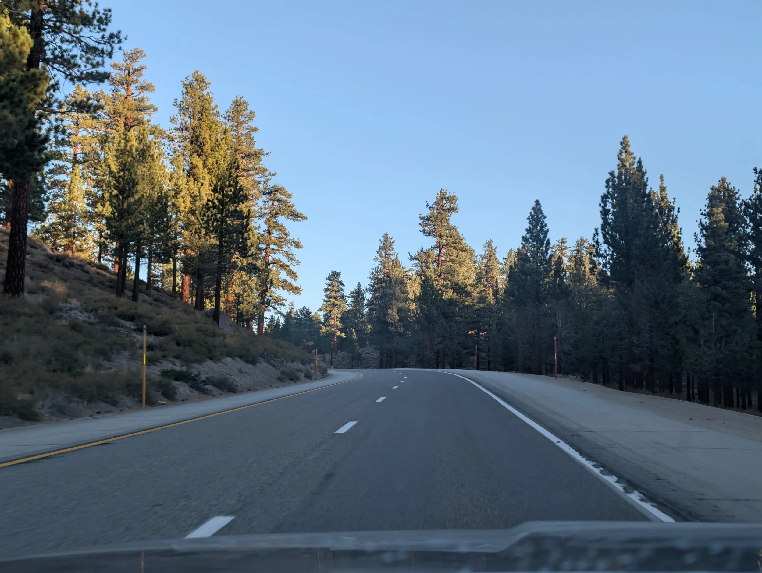
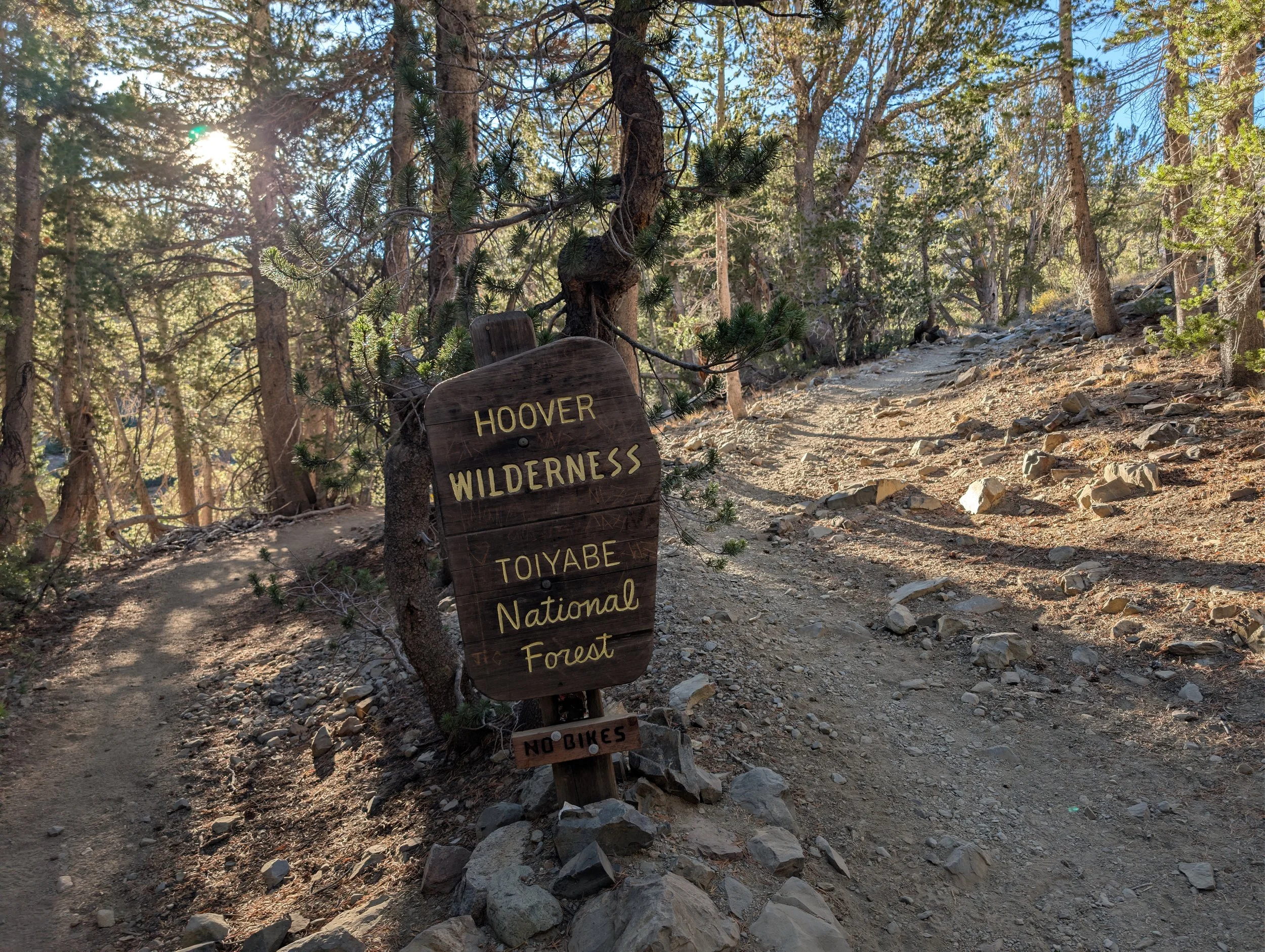
When we arrived at Virginia Lakes, we had some extra time before the sun would drop, and decided to take a short hike up to Blue Lake in the Hoover Wilderness section of Toiyabe National Forest. The trailhead was tricky to spot at first, and we ended up bushwacking through the woods for a small stretch until we got back on the steep trail.
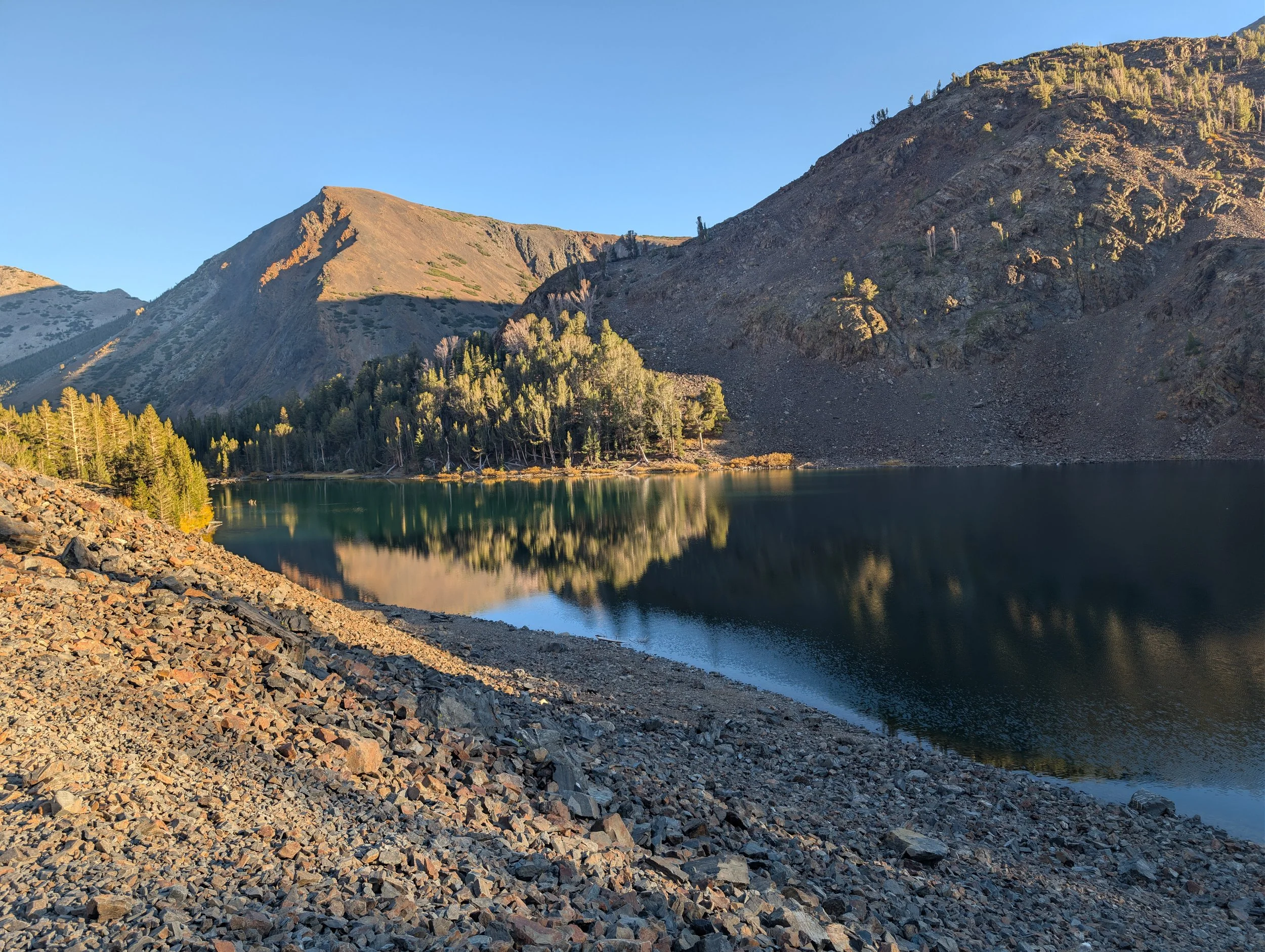
Finally, we climbed out of the woods and found ourselves on the shore of Blue Lake, whose water was (you guessed it) a deep, brilliant shade of blue. The lake was exposed to the bright afternoon sun, so I kept my camera tucked away in the bag and instead focused on taking some footage on my action cam.
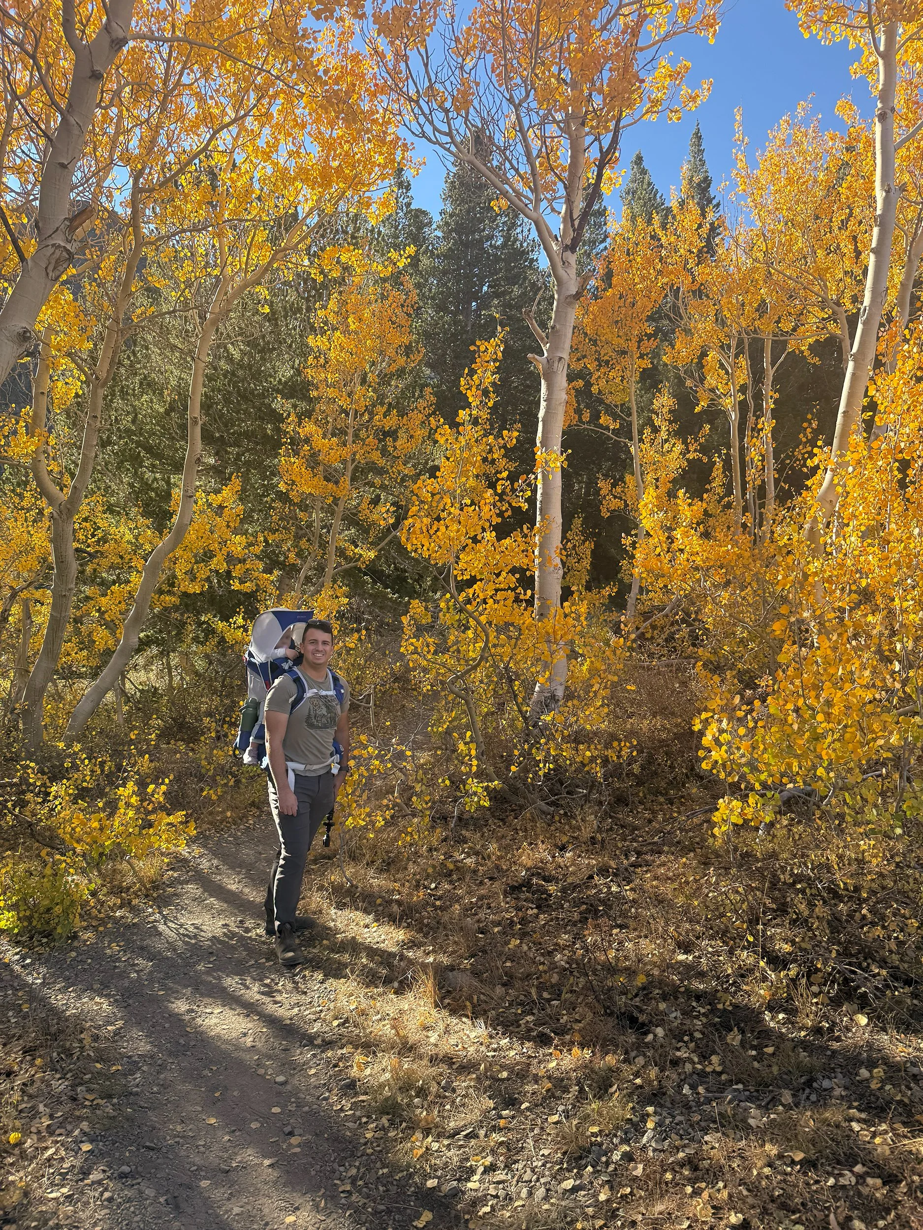
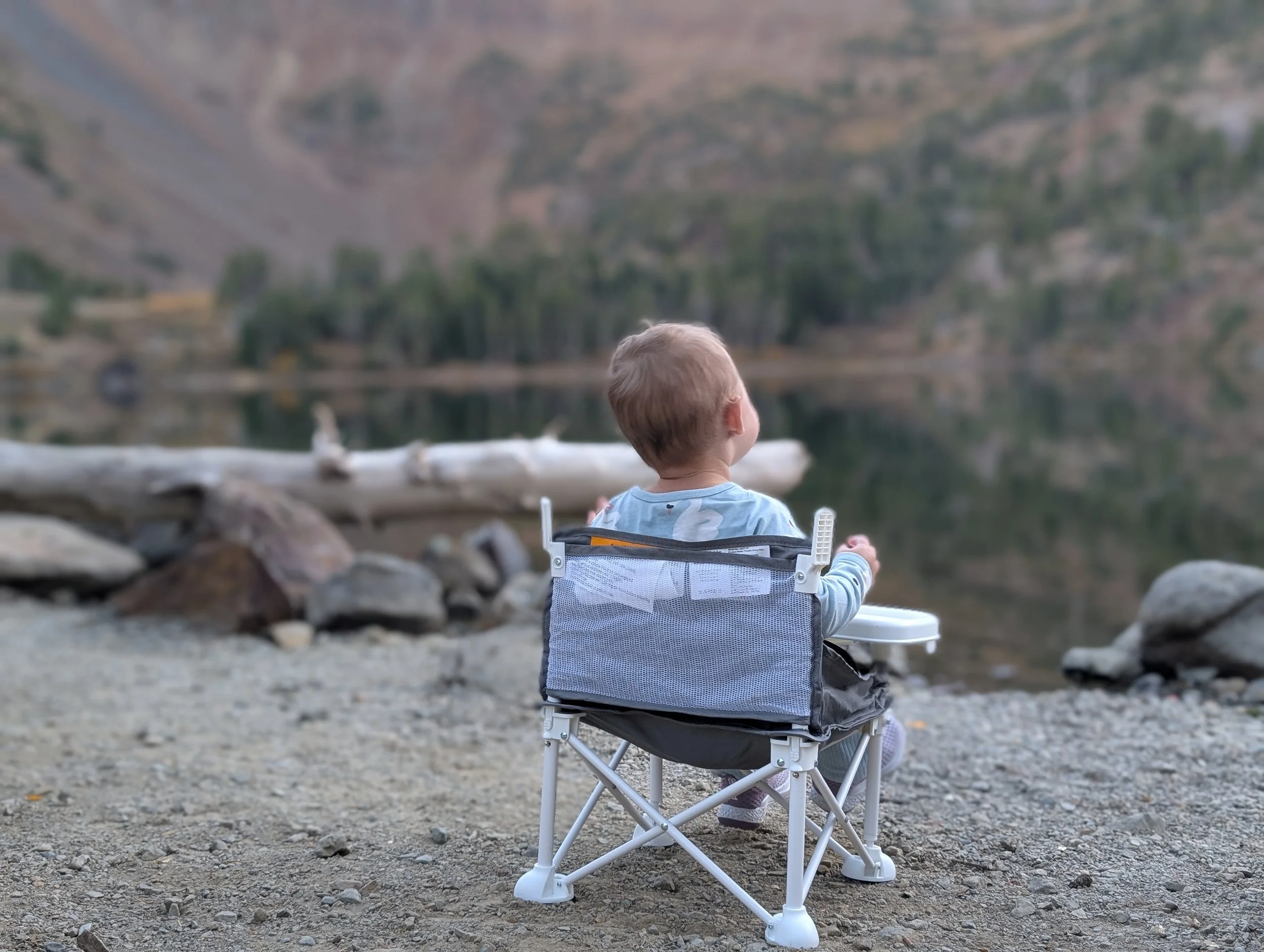
As the sun began to drop lower, we made our way back down to the parking area and Big Virginia Lake. We set Amelia up in her portable high-chair right by the water so she could eat while I set up my equipment to photograph the fading light hitting the tops of the peaks.
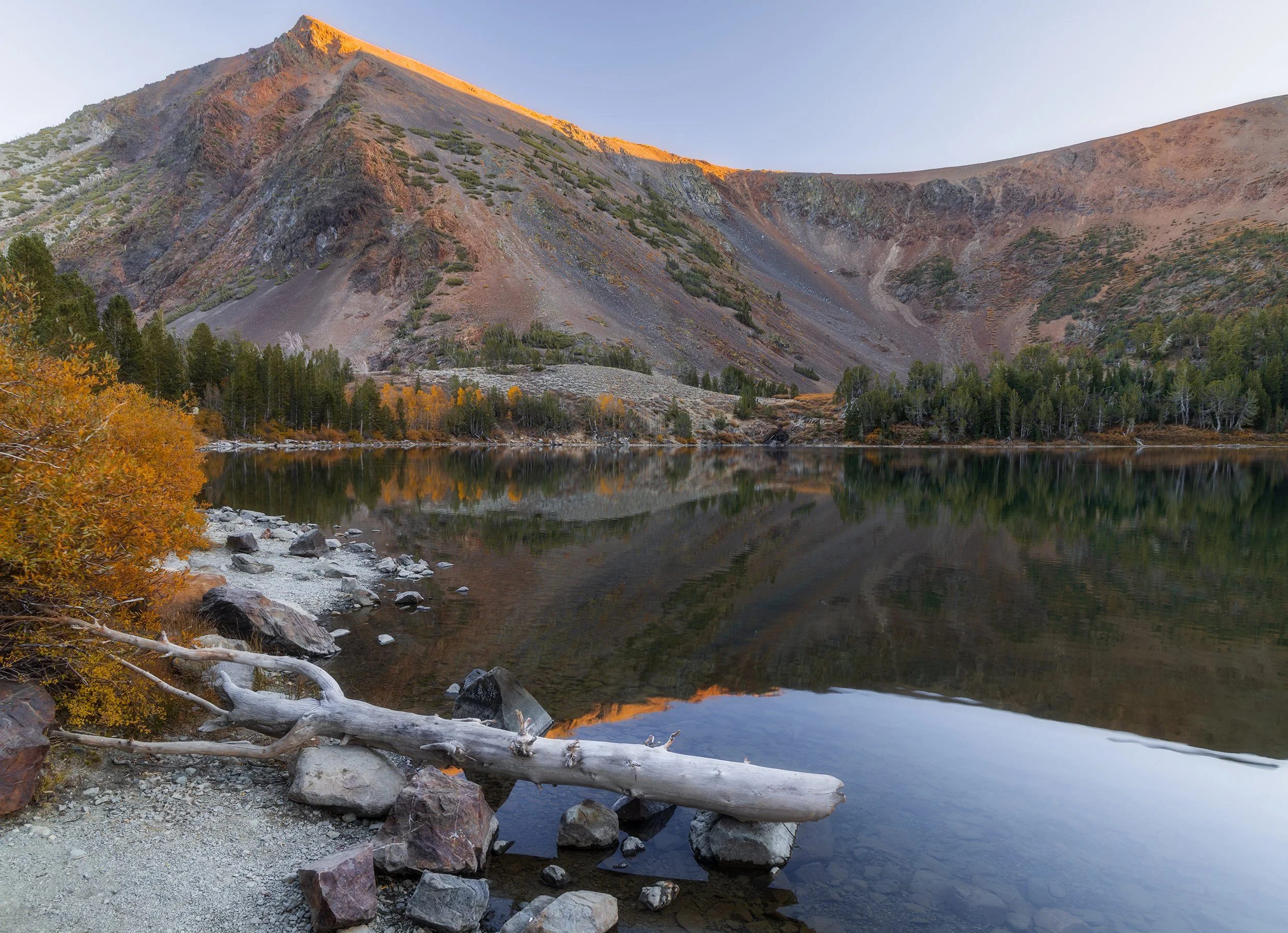
Serene Sierra, Canon EOS R5, 24mm | 1/5 sec., f/13, ISO 250
Just as we were finishing up, someone mentioned seeing a bear strolling along the shoreline. I asked how long ago, and he said maybe twenty minutes. I looked back out along the far edge of the water, and sure enough, I spotted the dark, shadowy silhouette of a bear moving slowly over the rocks.
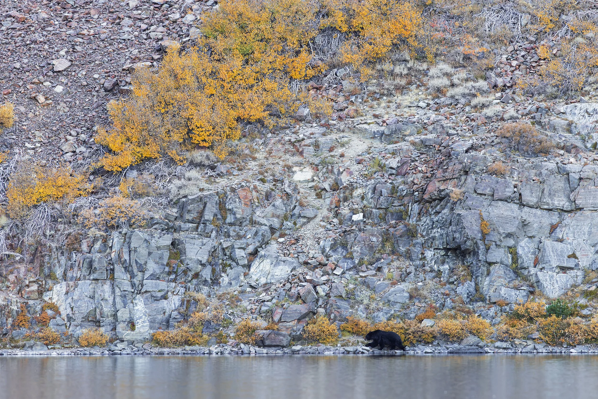
Black Bear at the Lake, Canon EOS R5, 400mm | 1/125 sec., f/5.6, ISO 1000
I sprinted back to the car to grab my telephoto lens and hurried back to capture him. Luckily, he was walking away from us, heading towards the far end of the lake. We stood there and watched as he slowly trotted along the shoreline, scrambling over large boulders and pushing through thick brush in search of his next meal. This image turned out to be my favorite, especially because he’s mid-stride and framed by the brilliant fall foliage.
After some time, we finished packing up, and eager not to be around for his next meal, got moving before the sun had fully set.
Day 3 – Mirror Reflections and a Note on Focus Stacking
Sabrina Lake & Bishop Canyon
It was another early start to the day. We had an hour’s drive south to reach the Sabrina Basin. I drove through the darkness and climbed into the mountains just as the faintest bit of pre-dawn light started to outline the ridges above.
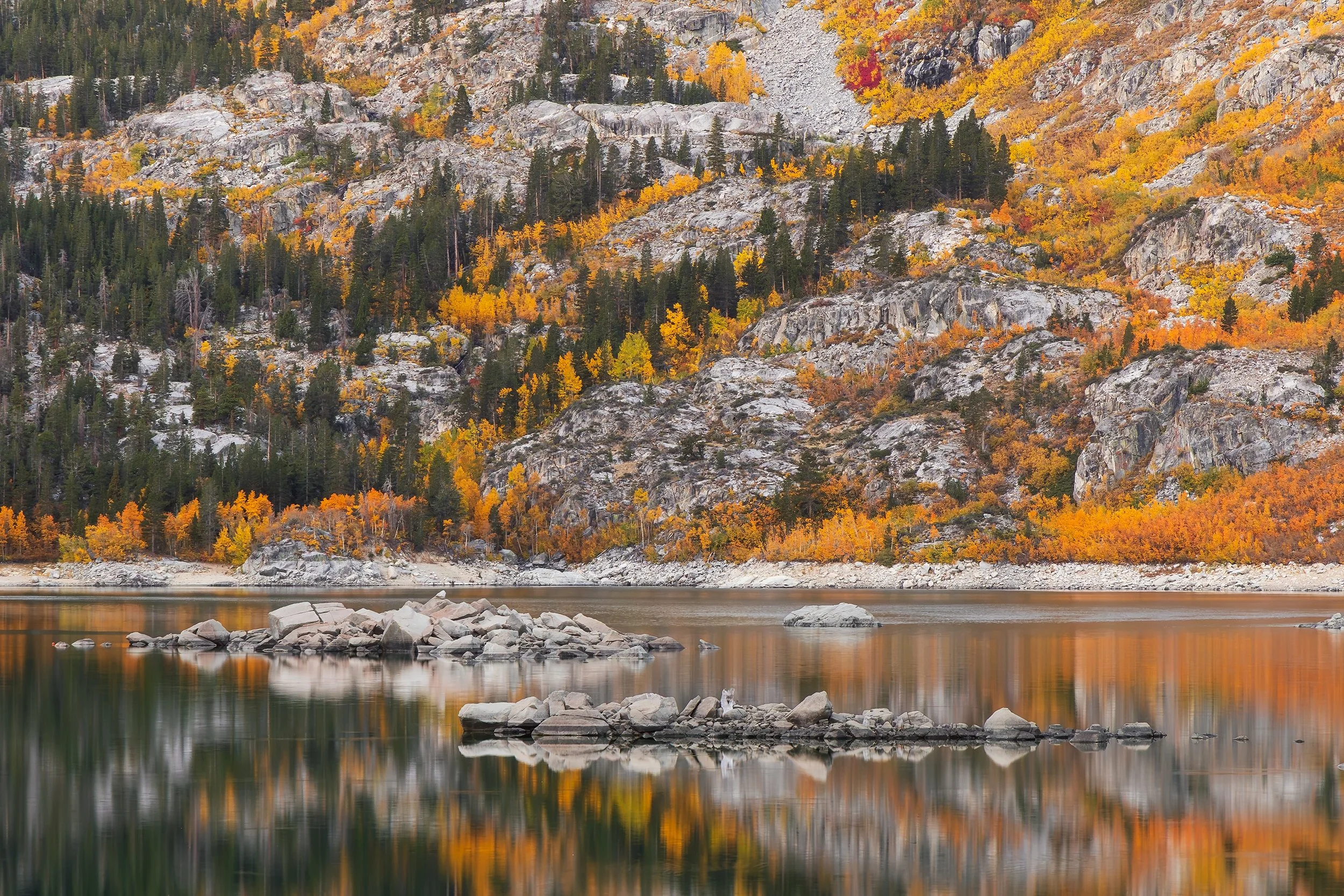
California Gold Rush, Canon EOS R5, 105mm | 1.3 sec., f/13, ISO 1000
After parking the car and getting Amelia situated in her snowsuit and stroller, I walked out onto the nearby dam to get the best vantage point over Sabrina Lake. This elevated platform allowed me to get some really unique perspectives of the rock formations jutting into the lake.
The cloud conditions were absolutely incredible on this morning. Deep pinks, reds, purples, and fiery oranges lit up the morning sky, and every color was perfectly reflected in the water below. The lake was completely quiet and flat as glass. The only others to witness this scene were a small group of fishermen preparing their boat and a few other photographers up on the dam.
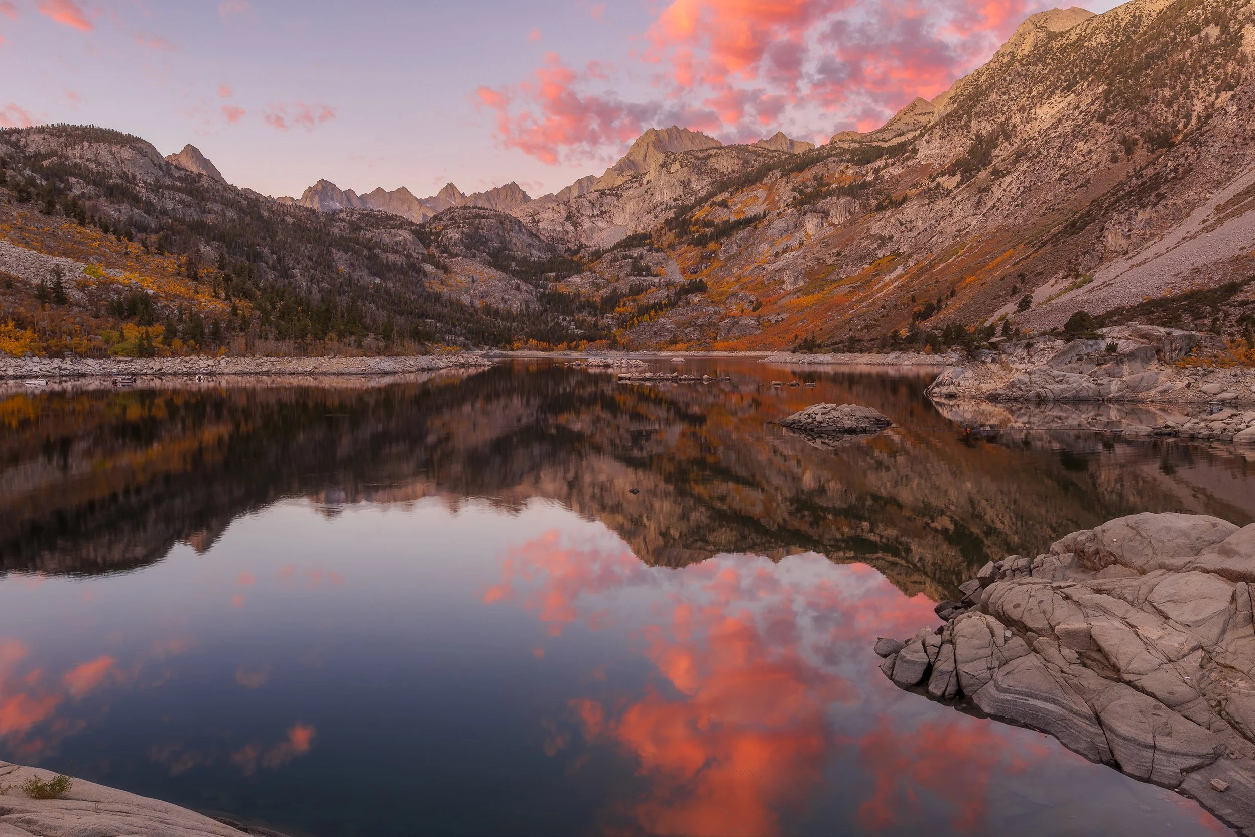
October Morning in the High Sierra, Canon EOS R5, 18mm | 1/2 sec., f/13, ISO 250
Unfortunately, the reflection didn’t last very long; those same fishermen slowly drove their boat out onto the lake – their wake wasn’t awful, but the glassy stillness on the water’s surface was officially gone for the remainder of the shoot.
I stayed out on the dam, patiently waiting, and eventually the sun’s light began to creep down the faces of the mountains. Watching a sunrise in the Eastern Sierra is a bit unusual compared to other places; you’re not actually watching the sun rise over the horizon to the east. Instead, you look west towards the towering mountains, watching the highest peaks catch the first rays of light. The rocks glow a deep, fiery red for just a few short moments before shifting into bright orange, and then finally fading into the mountains’ natural gray tones.
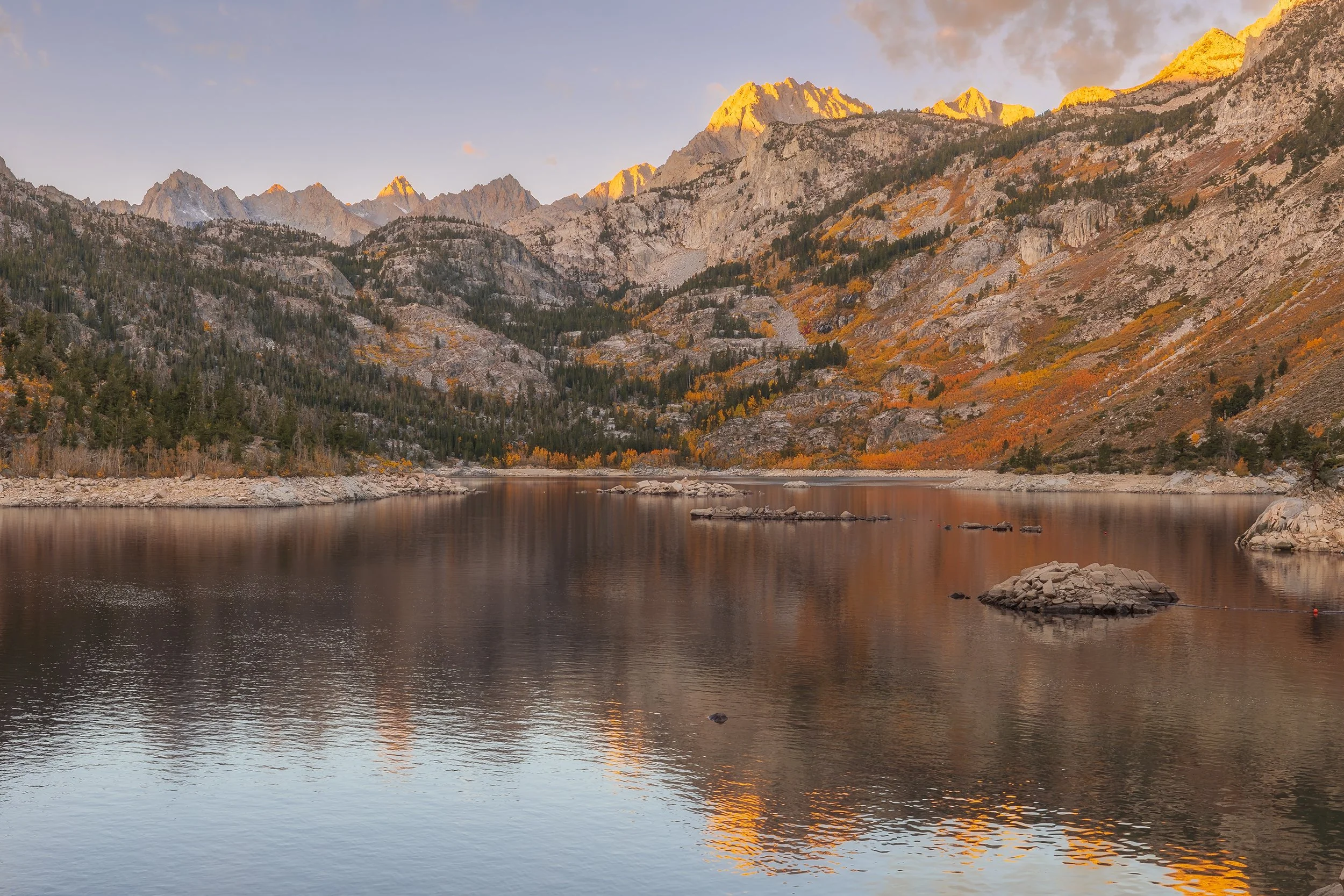
First Light on the Basin, Canon EOS R5, 29mm | 1/15 sec., f/13, ISO 250
I was able to catch the light striking the summits of Mt. Darwin and Mt. Haeckel looming over the lake. Through my viewfinder, the scene appeared almost as some remote alpine wilderness that required miles of backpacking to reach. Yet, despite the rugged nature of its appearance, it was only a short walk from the parking area.
Driving back down towards Bishop, the sun was already high in the sky; however, in the canyon, the lighting was much more workable, allowing me to get some shots of the aspen groves along the creek. At Misty Falls, the aspens were a complete kaleidoscope of colors, ranging from green leaves yet to change to bright yellow and deep reds.
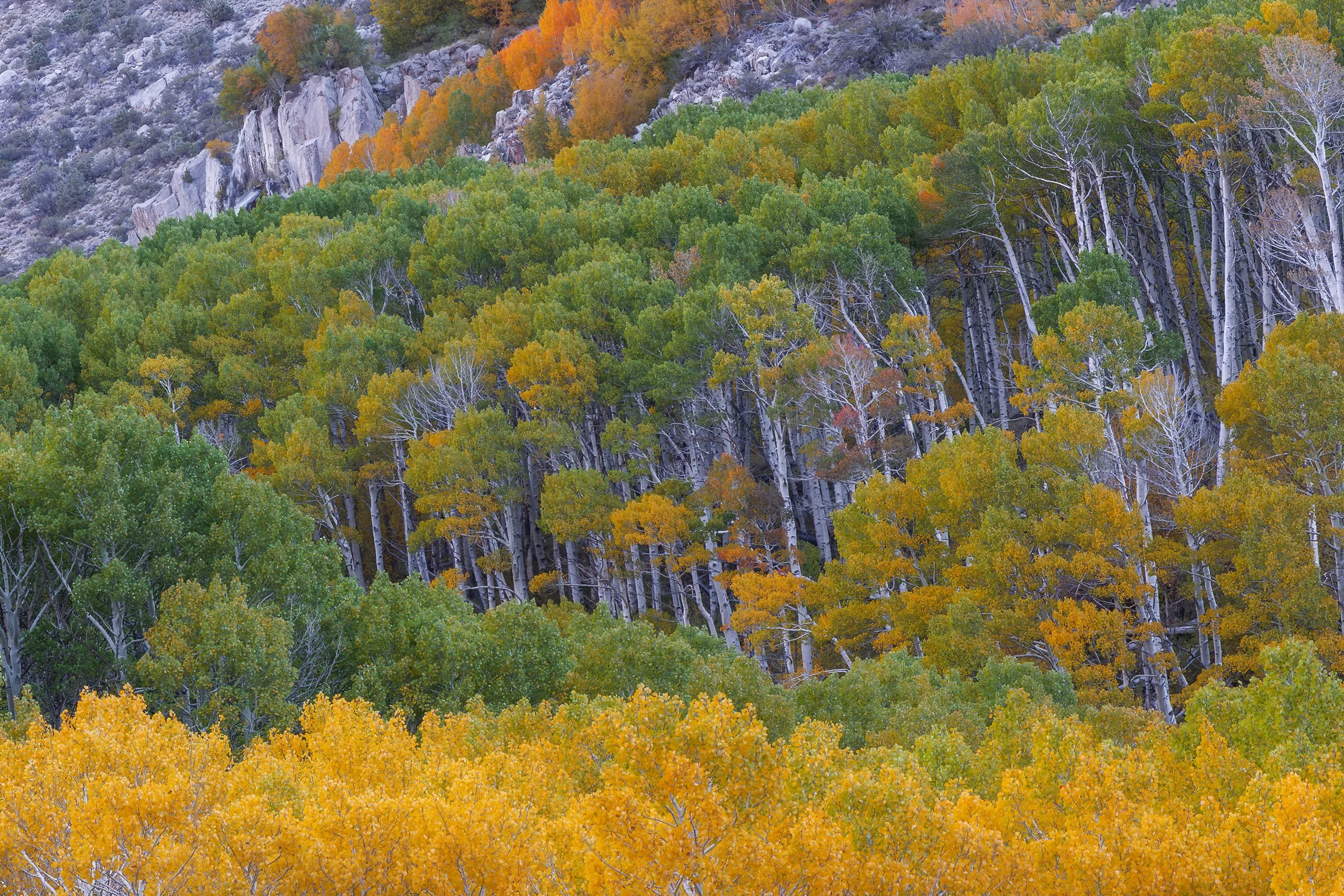
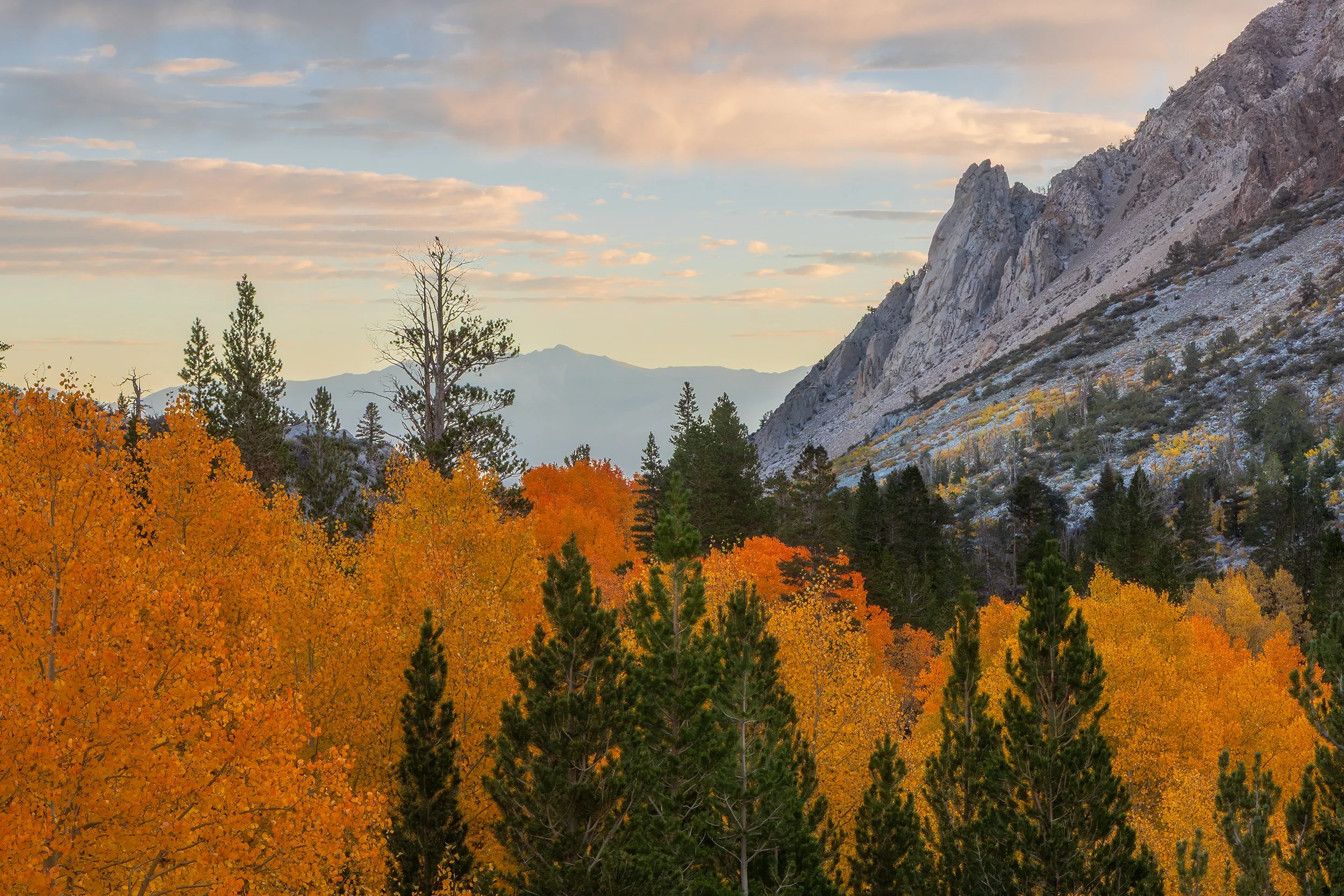
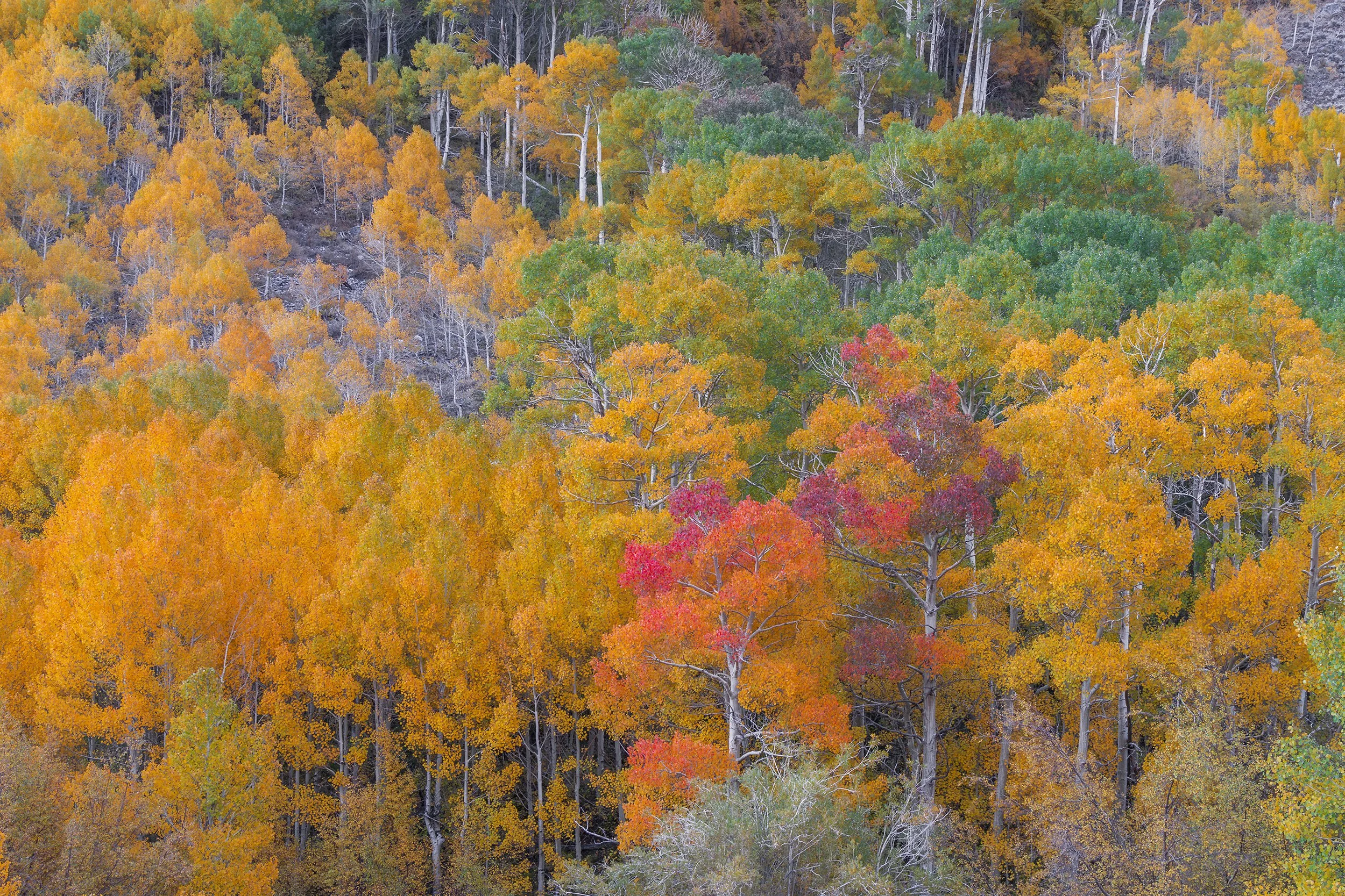
Then I realized my biggest blunder of the trip. The prior evening, after switching to a 1.6 crop to get a closer look at that bear in Virginia Lakes, I completely forgot to switch my sensor settings back to full frame! I shot the entire morning in APS-C crop mode! The images I captured were still usable, but unfortunately, they are at a slightly lower resolution than my normal line of work. It was a frustrating mistake to make, but it served as a good reminder to always double check my settings prior to venturing out.
June Lake Loop
After resting up at the Air BnB, we set out northwards towards our sunset destination. I wanted to set up for sunset at the Silver Lake boat ramp, as it had plenty of parking and easy access to the shoreline. However, we arrived a tad too early and had a toddler to entertain. So, we drove into the town proper of June Lake, a cute little mountain town, and stopped for some ice cream before backtracking to our sunset spot.
By the time we got back to Silver Lake, the conditions were practically perfect. There were several fishermen along the shore and some small boats out on the water, but the lake itself carried a tranquil, calm sense of quiet. It was the kind of peaceful atmosphere you can only find outside in nature. You could hear birds chirping in the distance (which we never hear back in LA) and faint talking and laughter across the lake. I set my tripod up right in front of some rocks that provided a nice visual point of interest, especially since there happened to be three bright yellow aspen leaves floating in the water. The sun was striking the western slopes of the mountains, and its rays were fading fast, so I got to work snapping images for a focus stack.
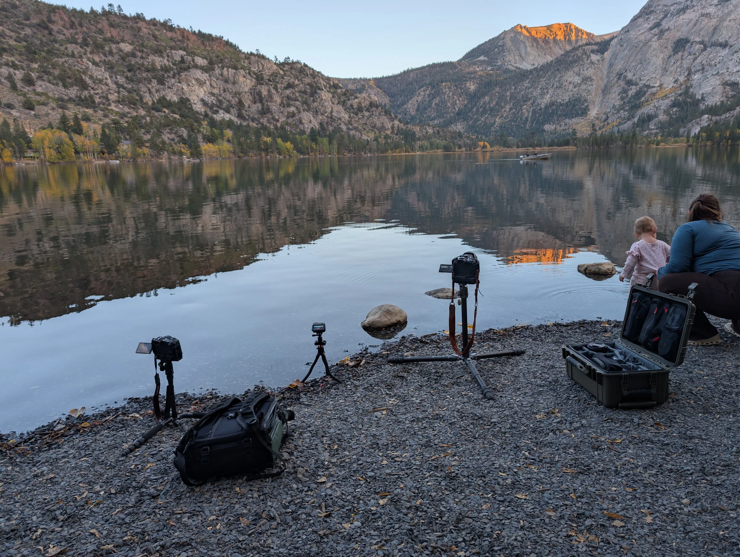
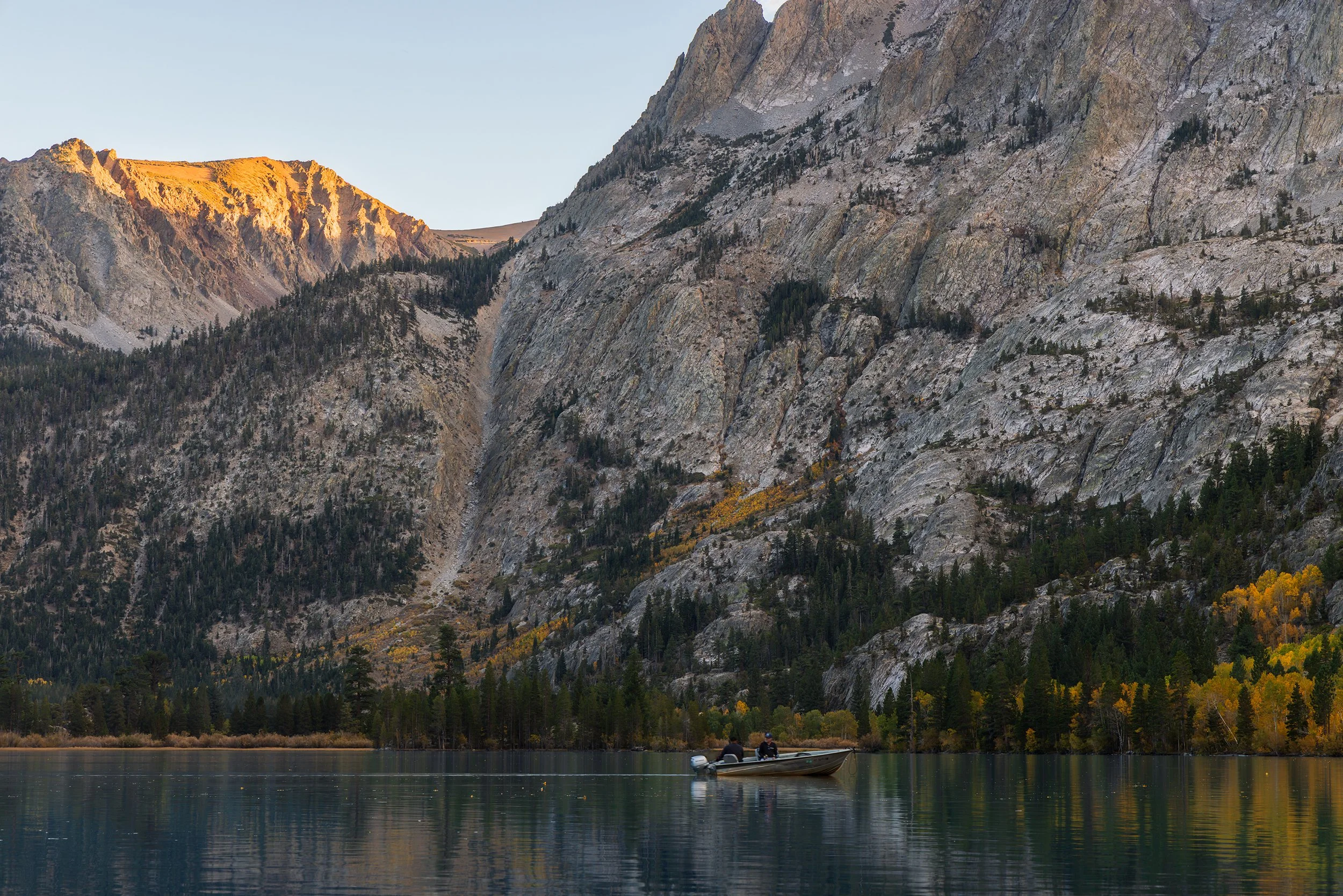
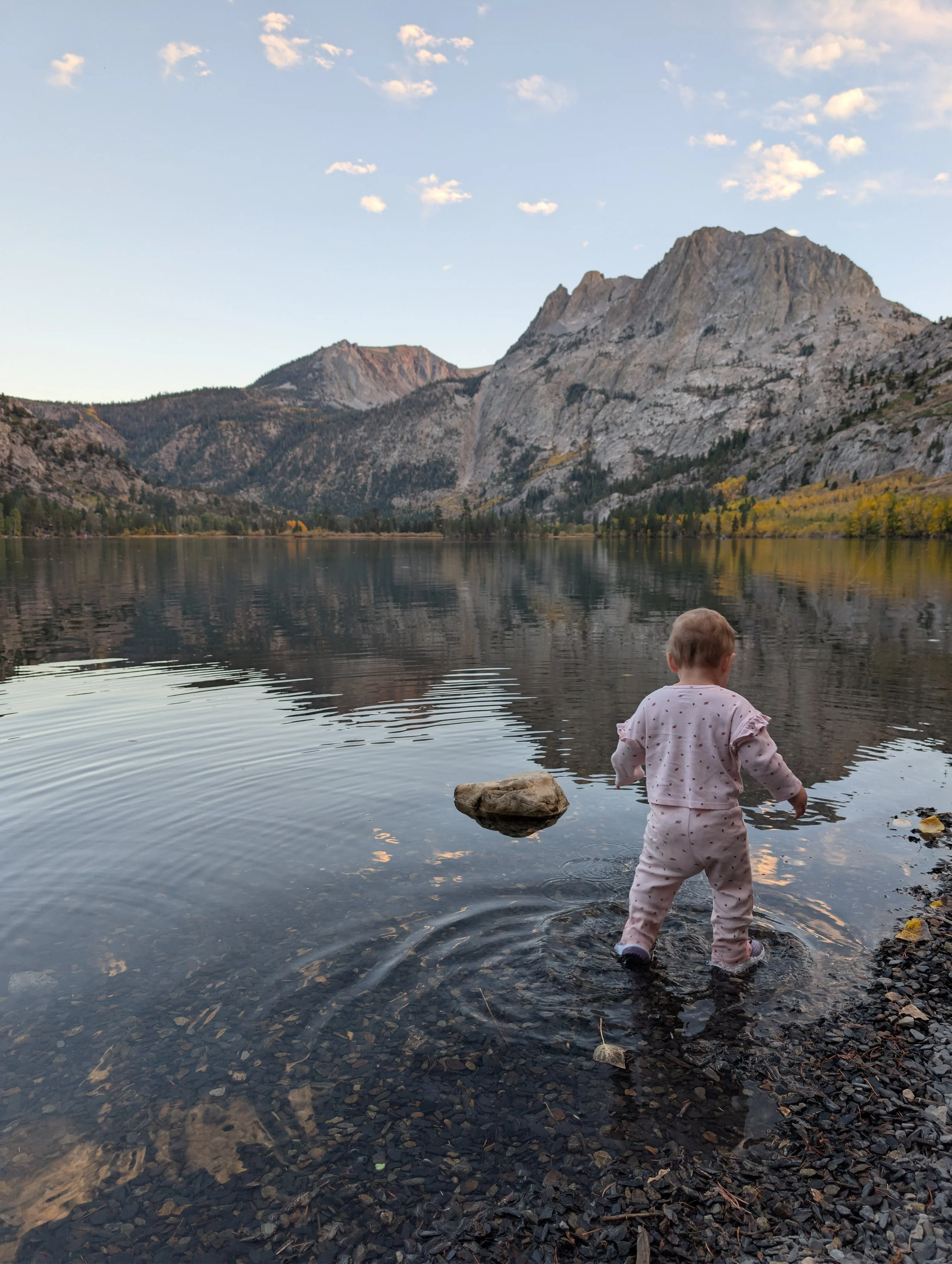
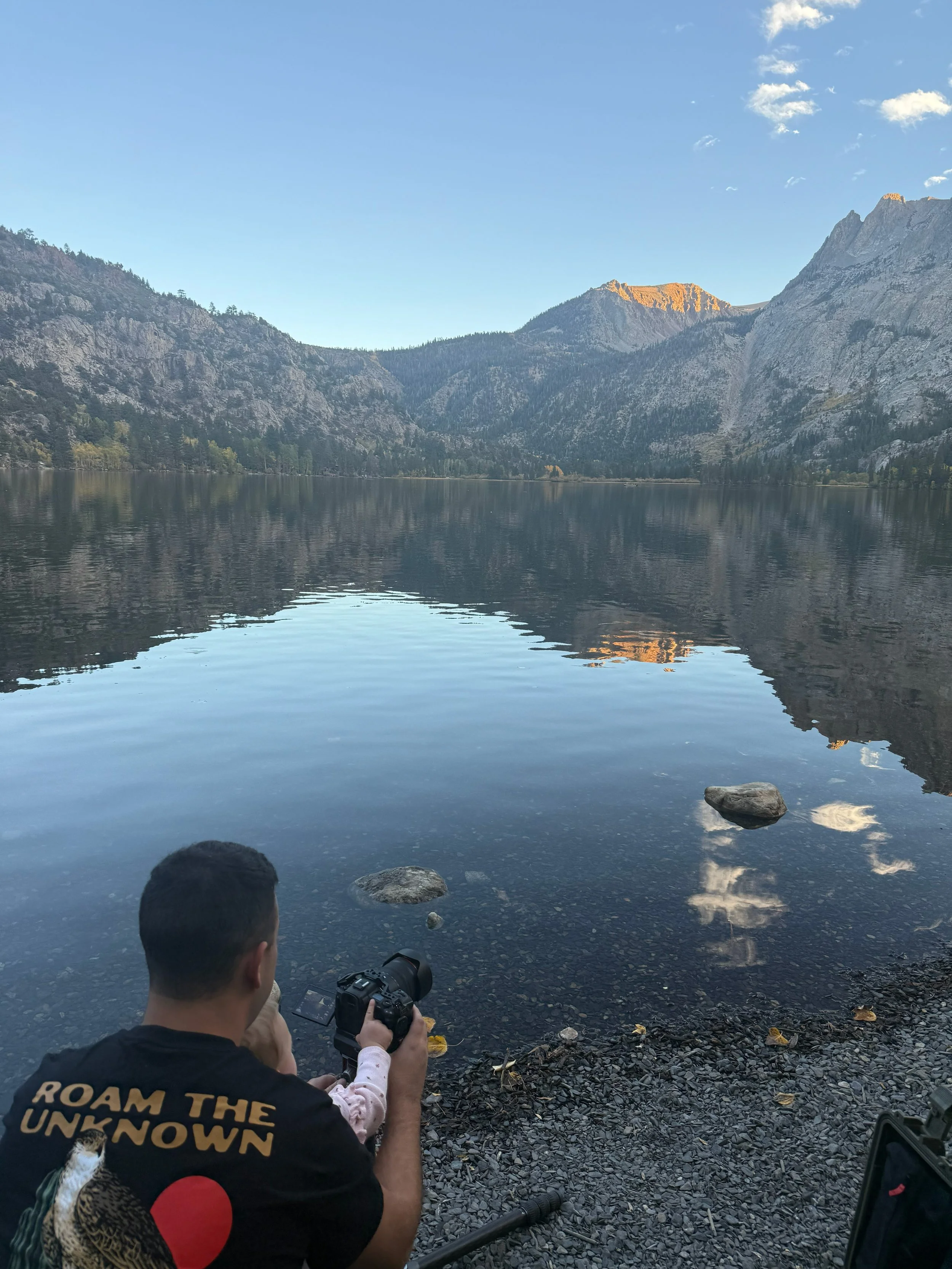
A Note on Focus Stacking: When shooting a scene with sharp foreground elements (like those yellow leaves just inches from my lens) and mountains far away in the background, a single exposure usually leaves either the foreground or background slightly soft or out-of-focus. To solve this, I take multiple photos without moving the tripod, manually shifting the focus point from the closest leaves to the middle rocks, and finally to the distant peaks. Later, I load those images into a focus stacking software. The images are then automatically aligned, and varying focal points are merged together, creating an output that has each element of the scene sharply in focus. Once the composite is created and reviewed for errors, I then load it back into Photoshop for my standard processing.
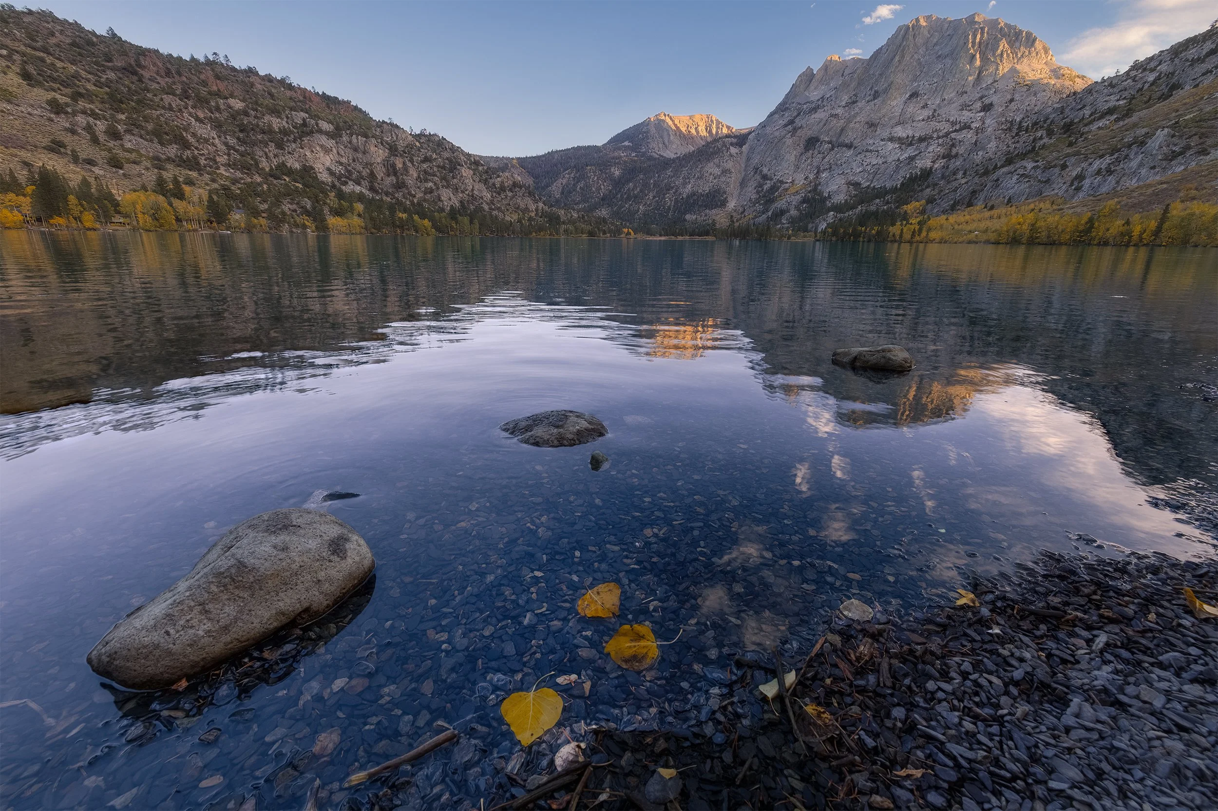
Autumn Evening at Silver Lake, Canon EOS R5, 15mm | 1/13 sec., f/10, ISO 250
Day 4 – High Sierra Lakes and Bierstadt Light
Dawn at Convict Lake
A 5:30 AM wake-up call felt like sleeping in compared to the rest of our trip. Since Convict Lake was only about fifteen minutes from our Air BnB, we didn’t have to deal with a long pre-dawn commute.
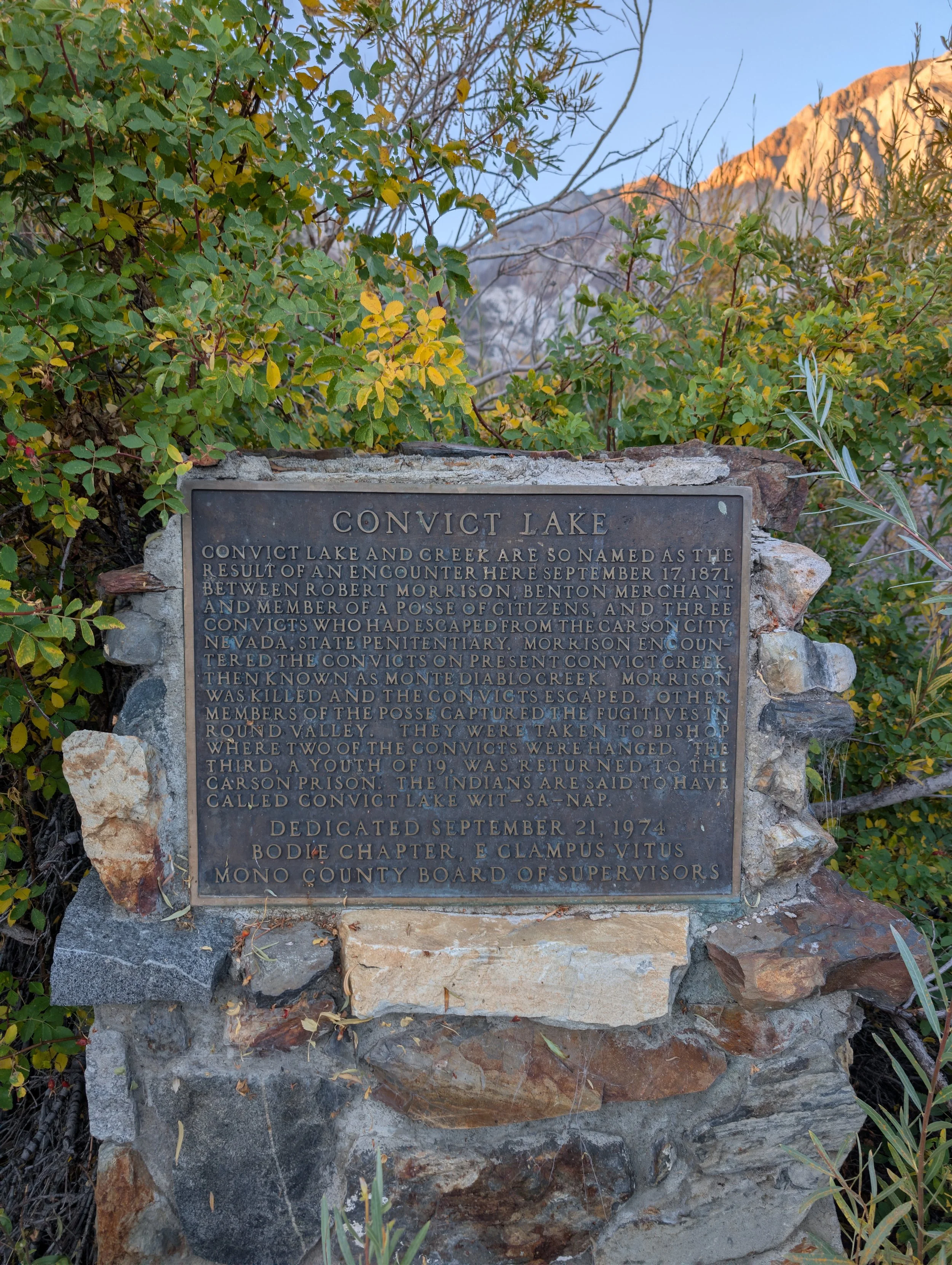
The Paiute people who long inhabited this region called the lake Wit-sa-nap, and believed the Great Spirit created the lake as a sanctuary for magical fish that swam through the surrounding mountain streams. Once the miners arrived, they called it Monte Diablo. Then, in 1871, a group of convicts escaped from the Nevada State Penitentiary in Carson City and fled south into the Sierra, hiding out aalong the shores of the lake. A posse of local lawmen eventually cornered the convicts, and a shootout ensued. Two of the lawmen were killed, and the surrounding mountains were renamed to honor them: Mt. Morrison and Mono Jim Peak.
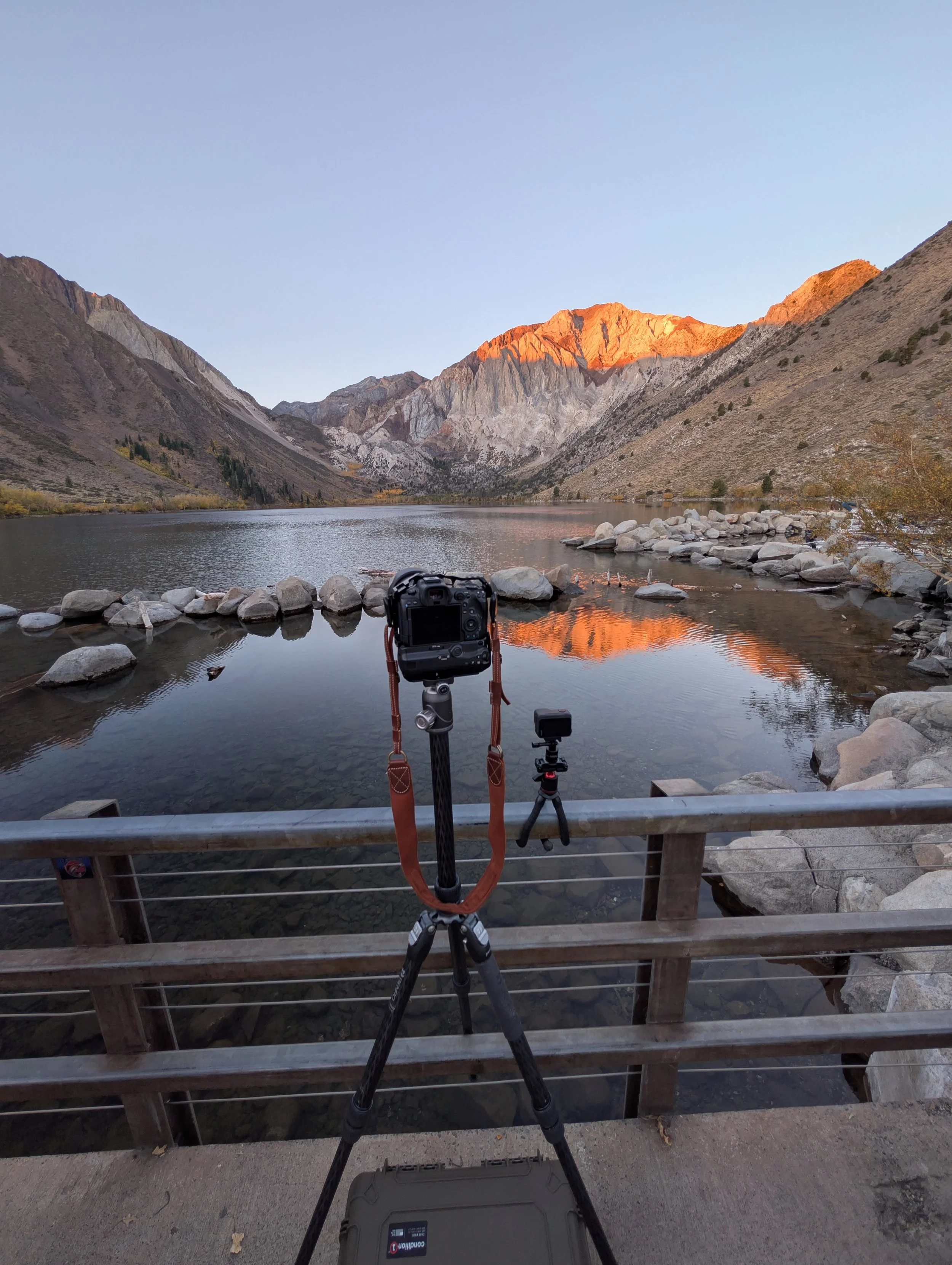
Even though it was the busiest location of the trip, there were still only about six other photographers lined up when we arrived.
The pre-dawn light was spectacular. The lake itself was perfectly still, and a soft pinkish hue formed on the mountainsides. Standing out in the cold air alongside other photographers, all of us patiently waiting with a sense of excitement as a scene unfolds, is always a great feeling.
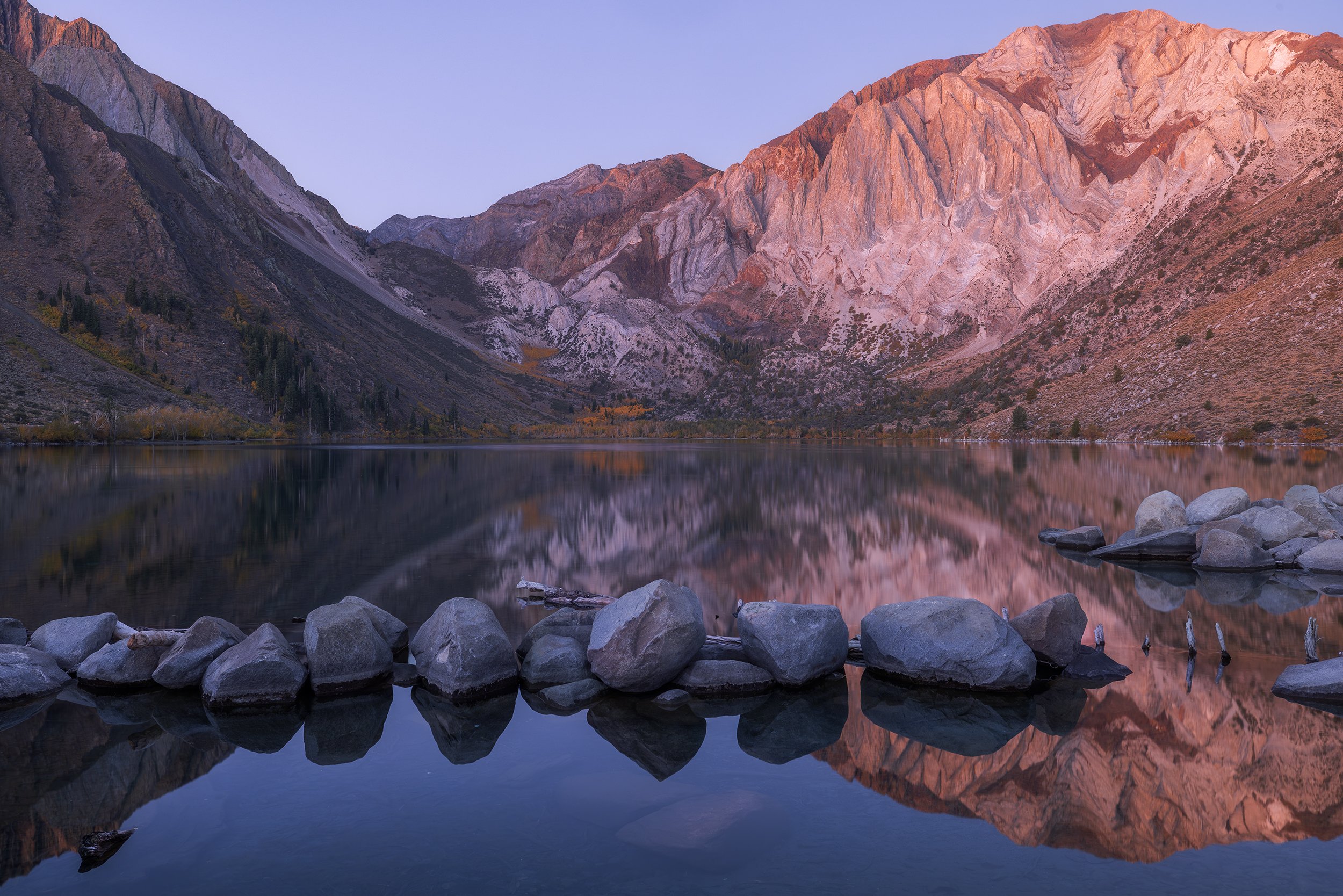
Sierra Dawn, Canon EOS R5, 31mm | 13 sec., f/13, ISO 250
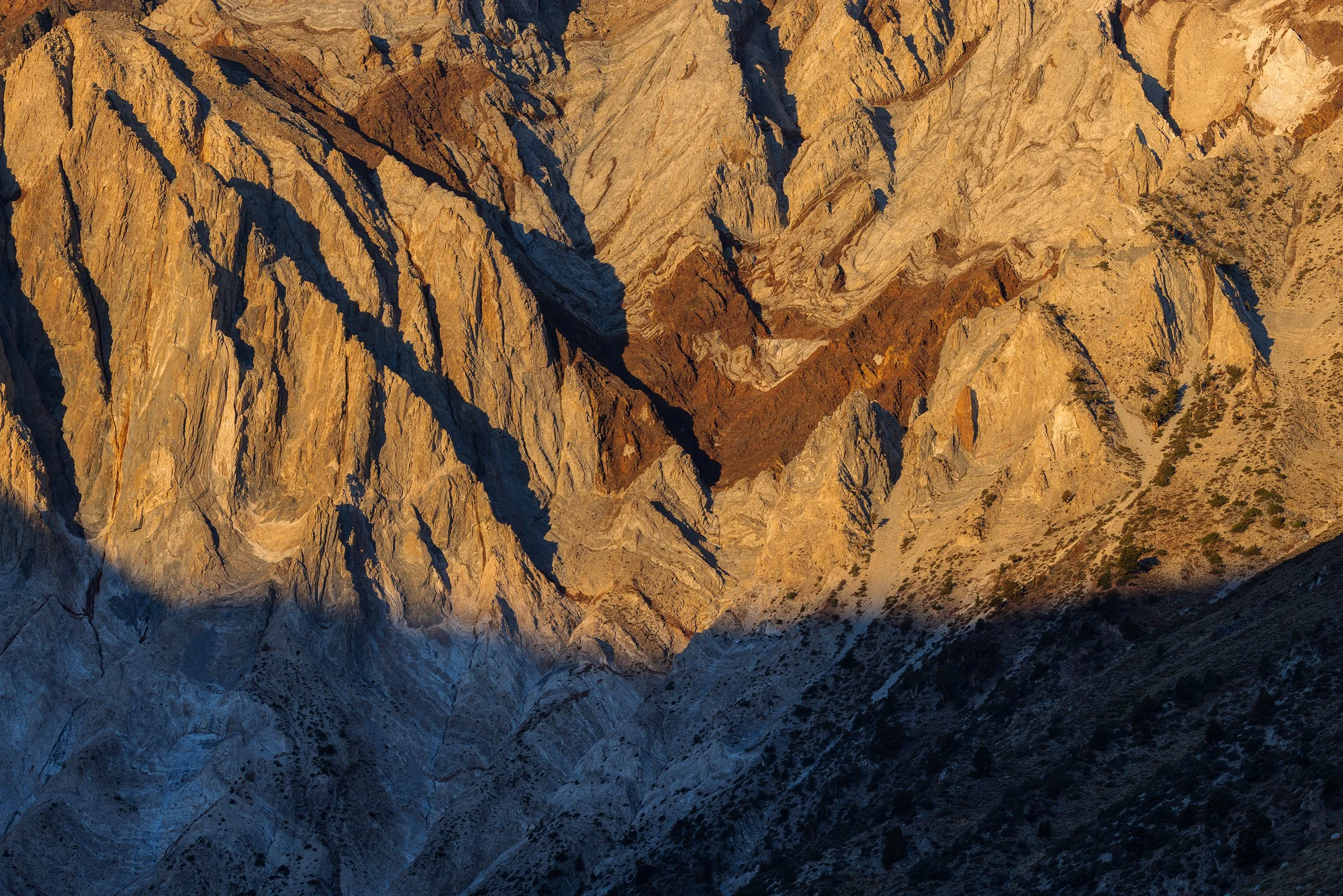
I managed to capture a few shots here, including some close-up images of Sevehah Cliff. The wavy red rock textures on the cliff face look almost unnatural above the golden aspen grove hugging the far shoreline. As if on cue, as soon as the sun began to strike Mt. Laurel with its morning light, the wind picked up and any chance of a reflection was gone for the remainder of the day.
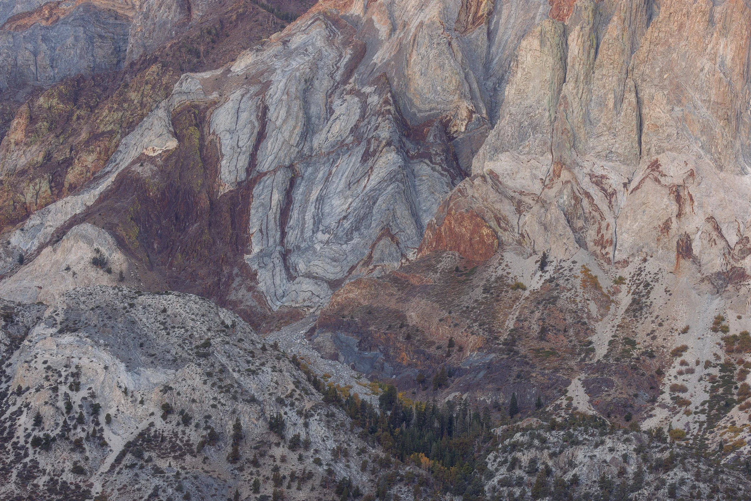
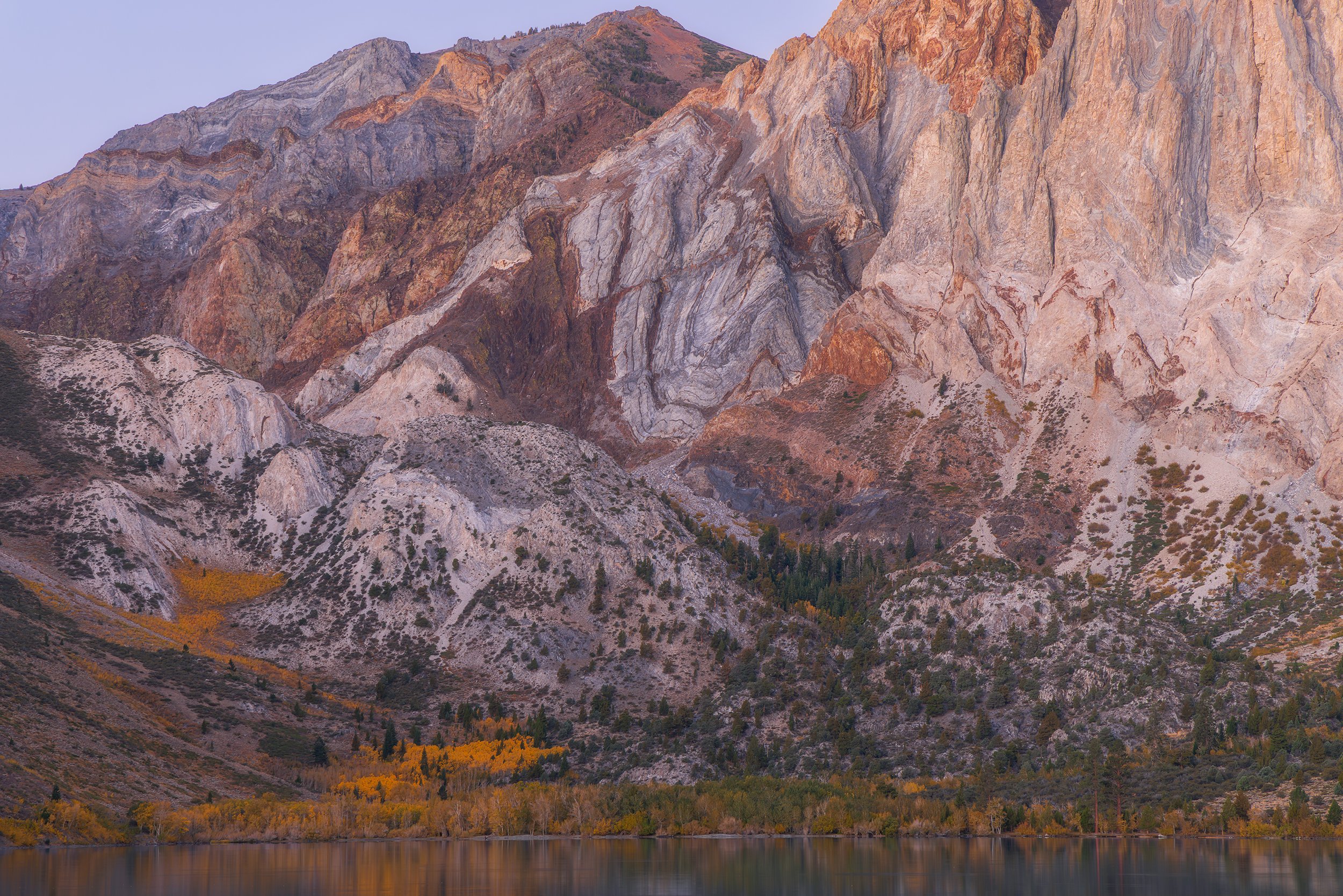
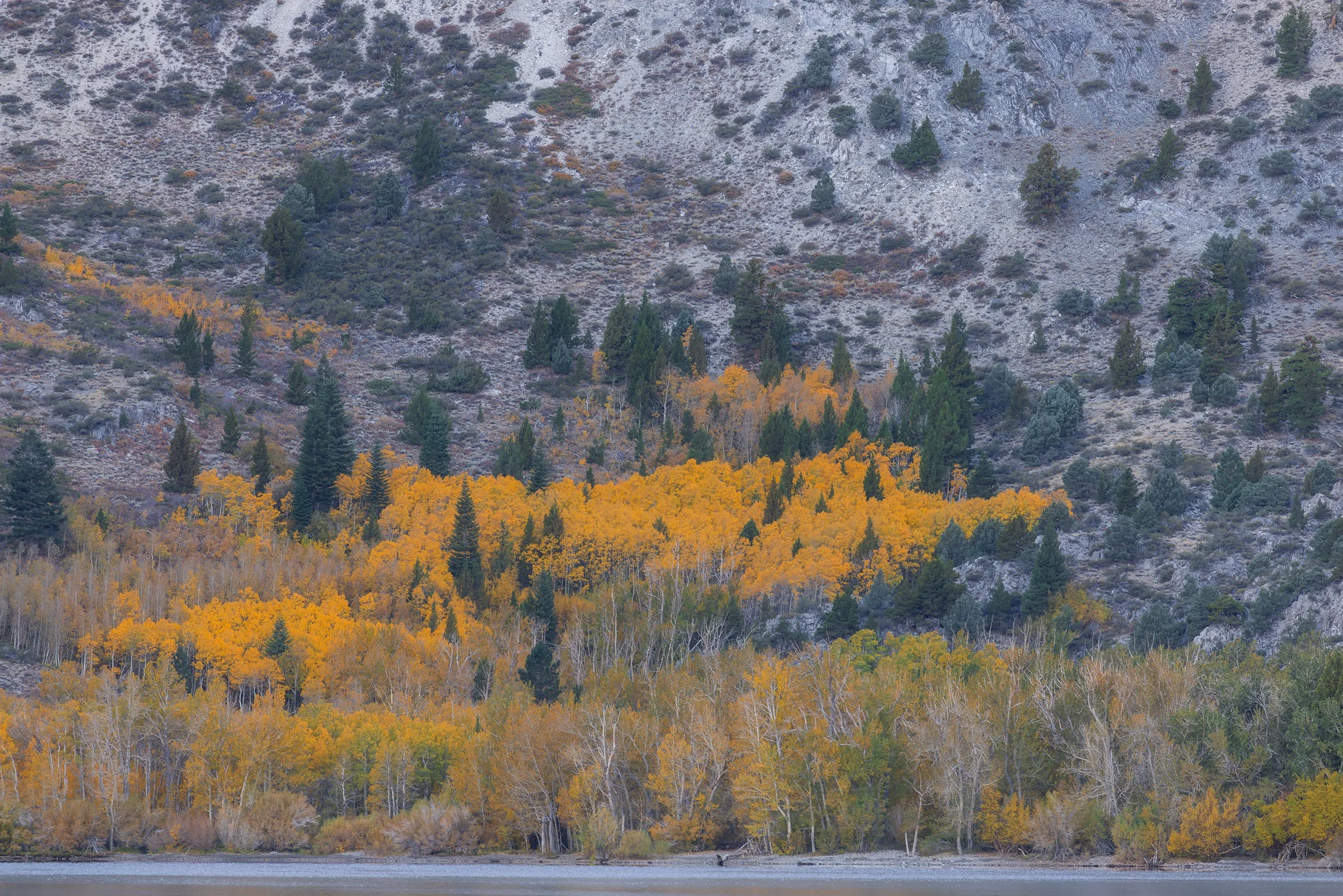
Hiking in the Mammoth Lakes Basin
In the early afternoon, we set out to get a hike in. The weather on this trip was unseasonably warm in the afternoons, with highs in the lower valleys reaching into the 70s. So, when we left the car at the trailhead at 2 PM and saw the thermometer sitting at 58°F, I knew we were in for a treat.
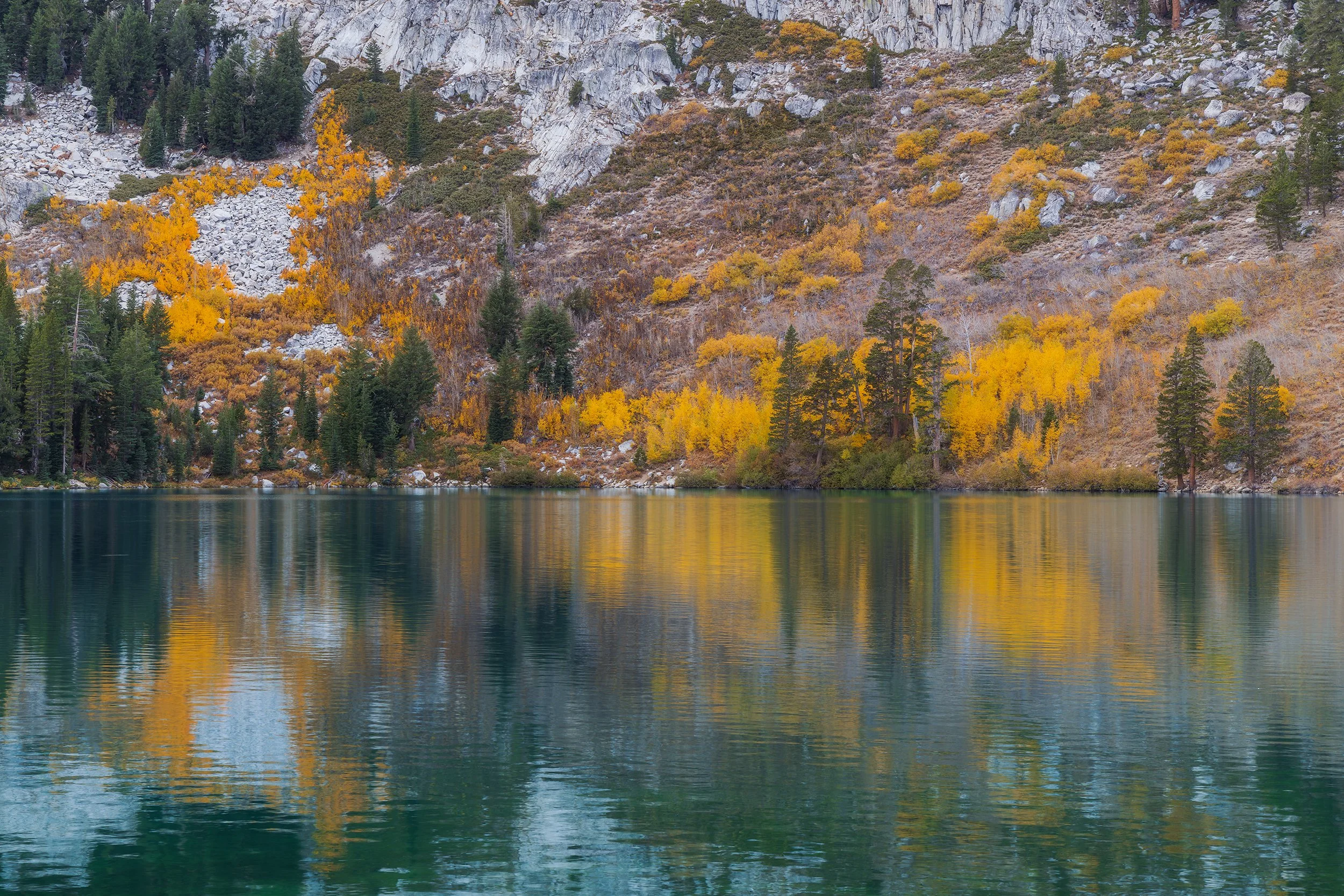
Turquoise Waters and Golden Leaves, Canon EOS R5, 70mm | 1/15 sec., f/13, ISO 200
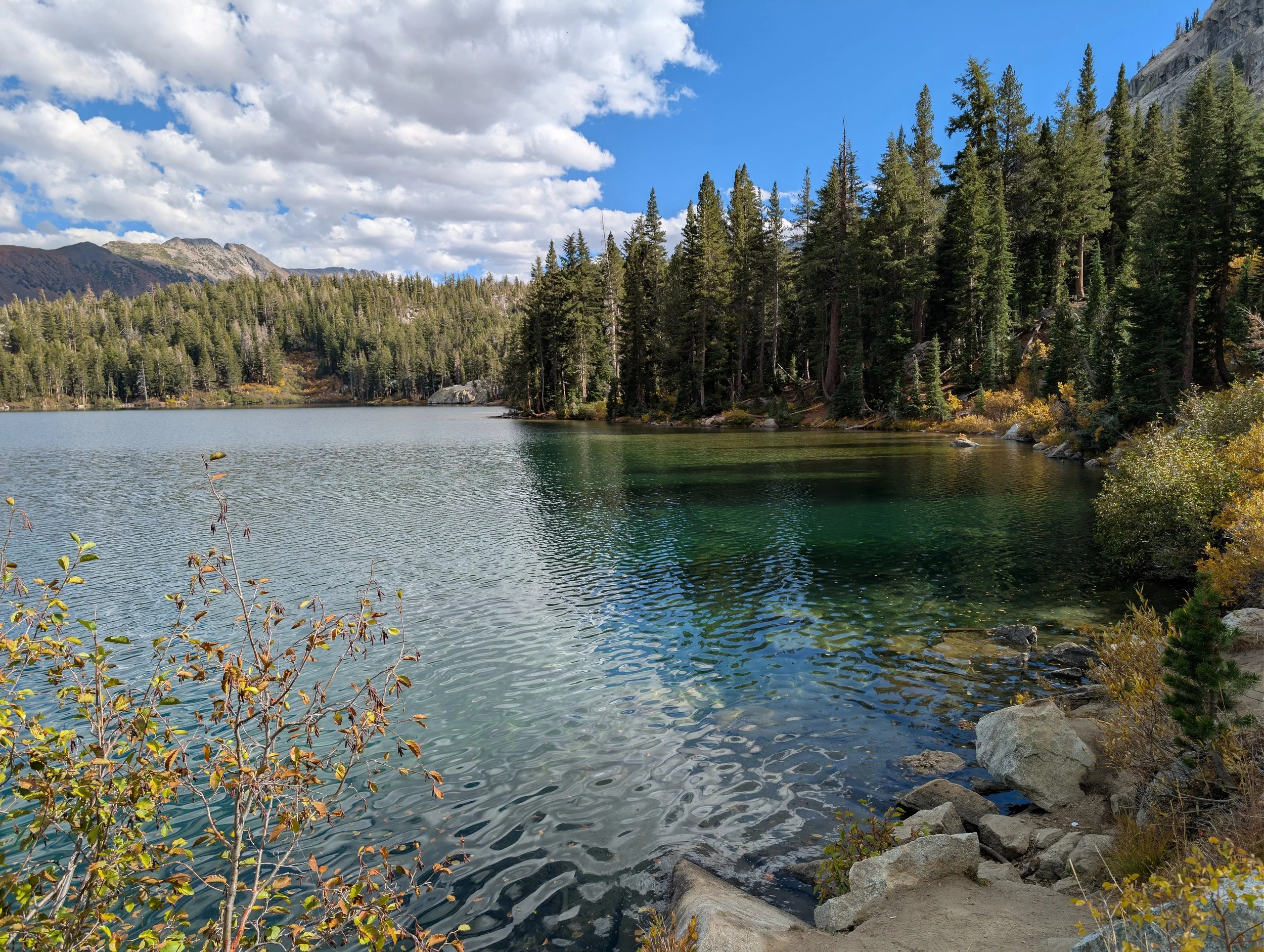
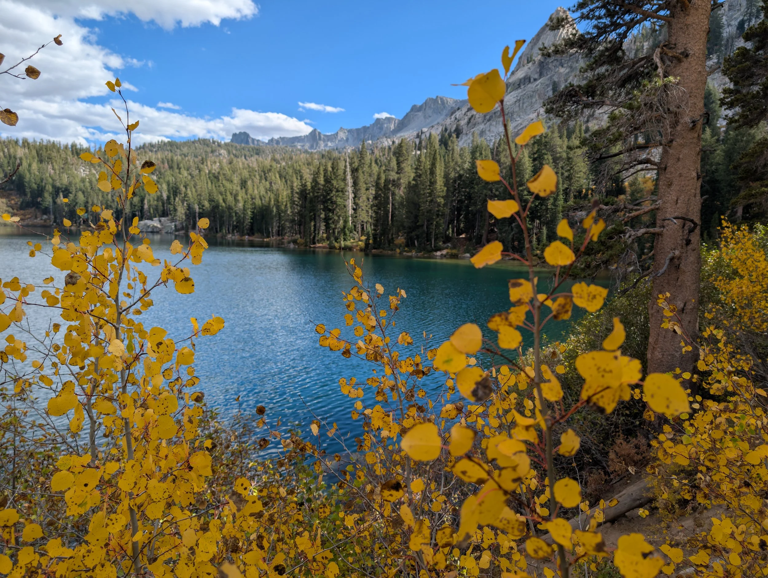
We followed a gentle dirt trail along the shores of Lake George and could see brilliant displays of golden aspens across the deep turquoise lake. Before long, we arrived at a junction, and from there, it was a short but steep climb up towards Barrett Lake.
The sights along the way were incredible, with that same bright pocket of aspens shimmering over the glassy waters of the lake. The air smelled amazingly clean and clear, filled with the scent of warm pine needles and tree sap. You could hear voices echoing through the woods from other hikers, fishermen down on the water, and families enjoying picnics along the shore.
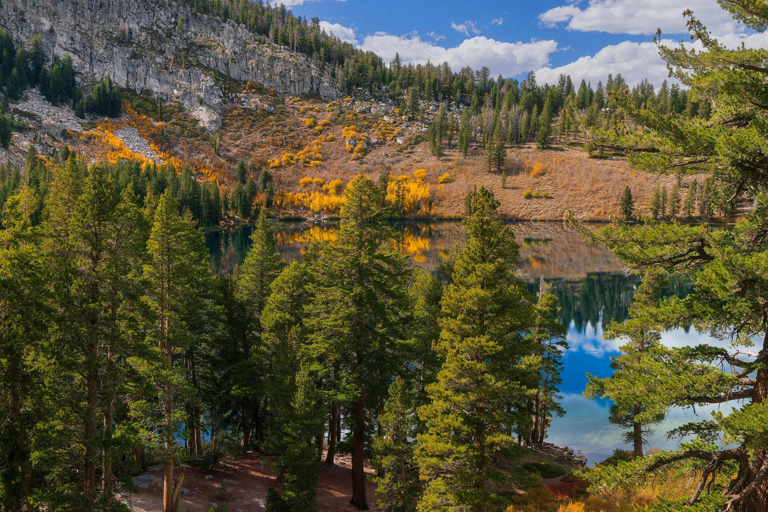
In the Alpine, Canon EOS R5, 43mm | 1/80 sec., f/9, ISO 200
When we reached Barrett Lake, I checked an airspace map to confirm I was cleared to fly and launched the drone up for an unobstructed view of the High Sierra that surrounded the basin. The views from above were unbelievable, showing dense evergreen forests wrapped around giant gray granite peaks.
After landing the drone and descending back down to the junction, we made the decision to complete a full loop around Lake George. After all, getting to the junction felt like a walk in the park with minimal elevation gain. An old, weathered sign pointed down a path, simply saying “Lake Loop Trail.”
We thought, “Sure, why not?”
Well, we were definitely wrong, and it turned out to be a much more adventurous hike than we had bargained for. The trail deteriorated quickly, and we found ourselves picking our way through thick patches of mud, pushing through overgrown brush, and scrambling over steep rock outcroppings. That faint, weathered sign turned out to be the only marker on the entire trail, with zero trail blazes to guide us through the innumerable junctions we encountered. After adding almost another hour of scrambling to our hike, we finally made our way back around to the parking lot.
Lake Mary Sunset
After making the short drive back to the Air BnB to clean the mud off our shoes and relax for a bit, we went back into the basin for sunset at Lake Mary. Just like the technique used for sunrise, instead of looking west towards the setting sun, I set up on the west side of the lake for an unobstructed view towards the east, looking for the last light of day to strike the upper mountain faces.
I had found the small beach earlier when driving past after our hike, and luckily there was just enough parking for about three cars along the shoulder of the road. A short walk through the woods took us right to the lakeshore. Rising straight out of the middle of the lake were these super unique tree stumps, the remnants of trees who perished due to low-lying volcanic carbon dioxide gases long ago.
I screwed on a graduated neutral density filter onto my lens, making the sky portion of the image darker than the foreground, which hopefully would make editing easier later.
It was completely silent, and the best part is that I had the view entirely to myself. Despite being only fifty or so yards from my car and the road, it felt like being in a wilderness all my own. Ducks paddled softly in the water searching for food, geese calls echoed from across the lake, and small ripples washed up against the rocks.
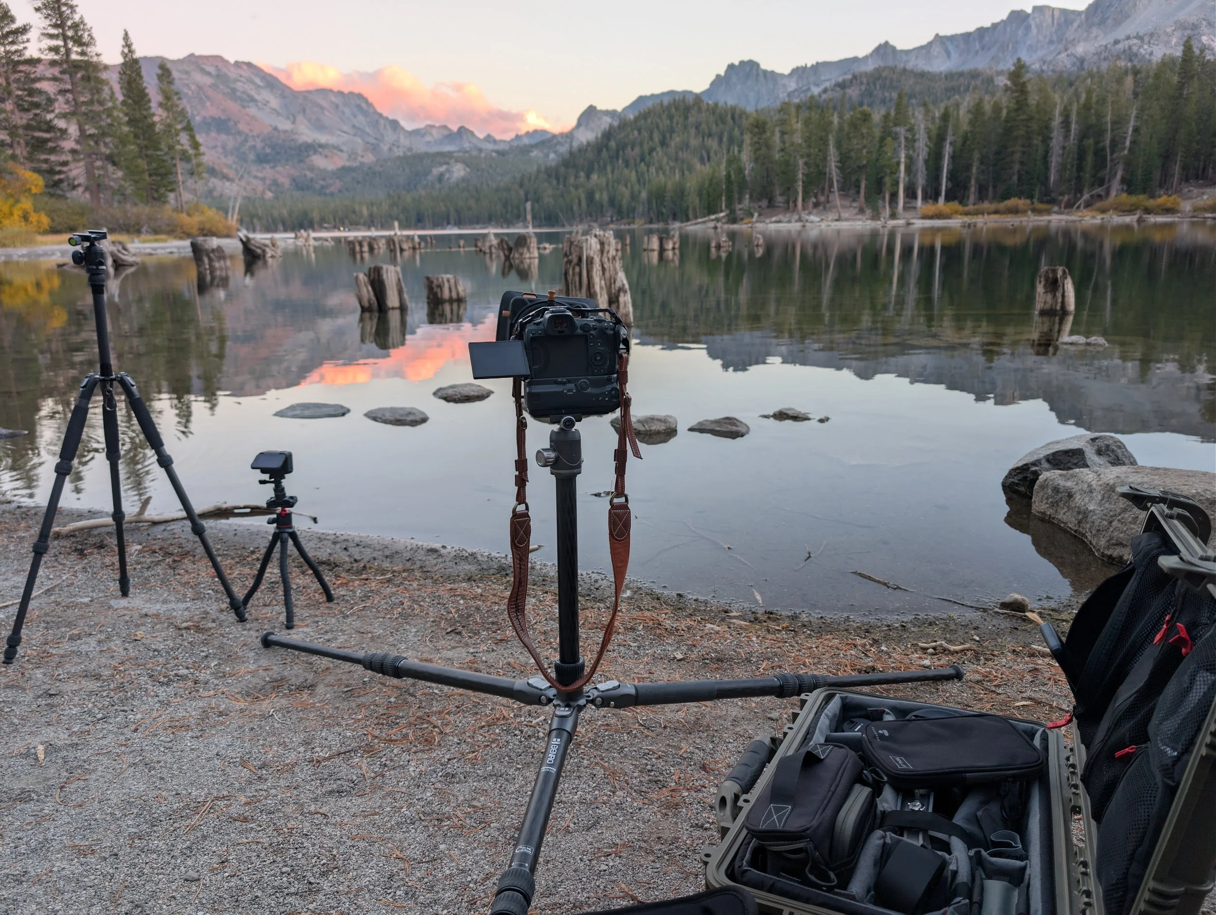
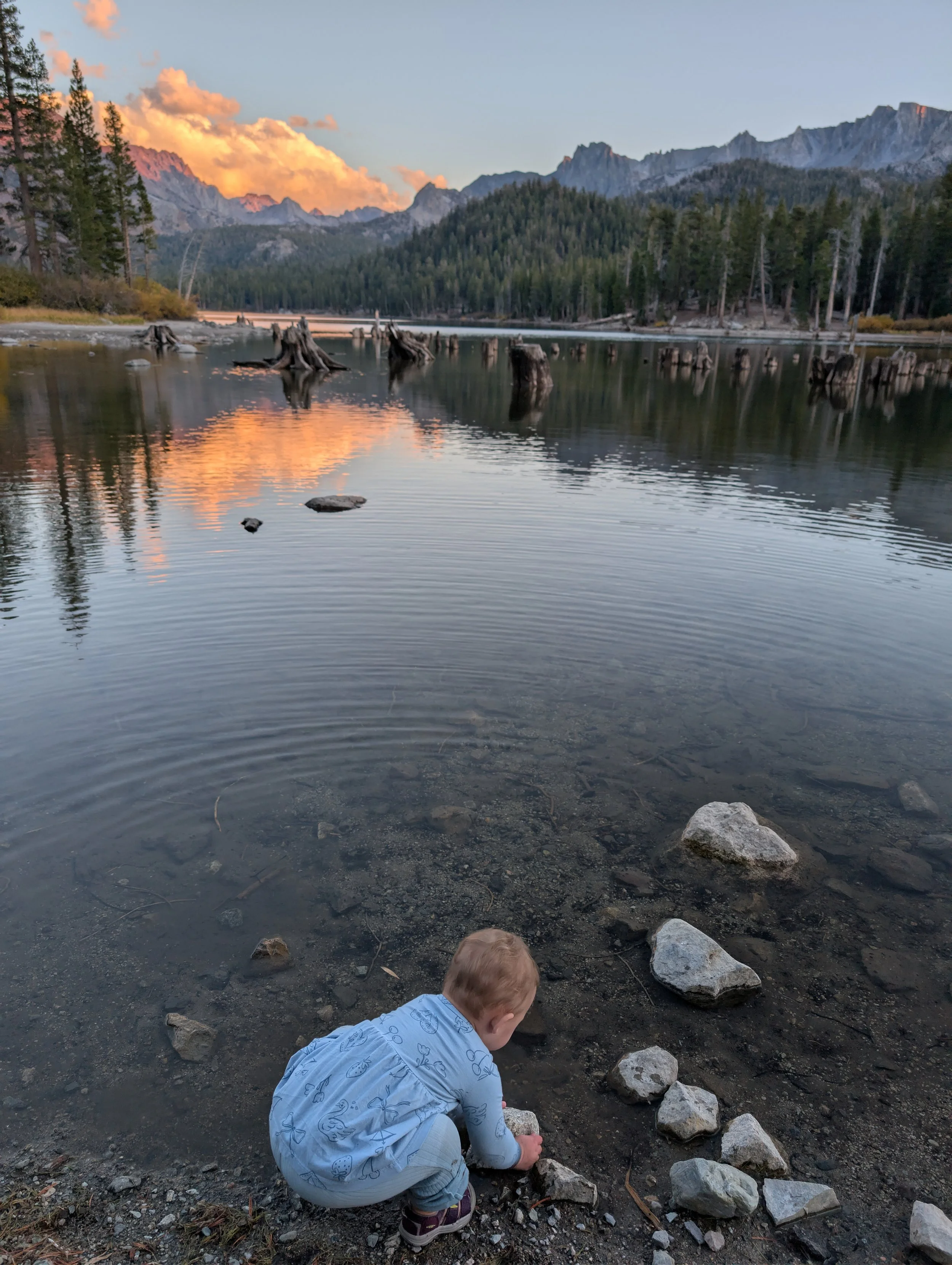
The scene reminded me of something from the Hudson River School or an Albert Bierstadt painting. Soft pinks and purples hit the mountains just as the sun set behind me. Standing there, I kept thinking about how wild it was to have this view to myself, especially compared to the city noise we left behind for the week.
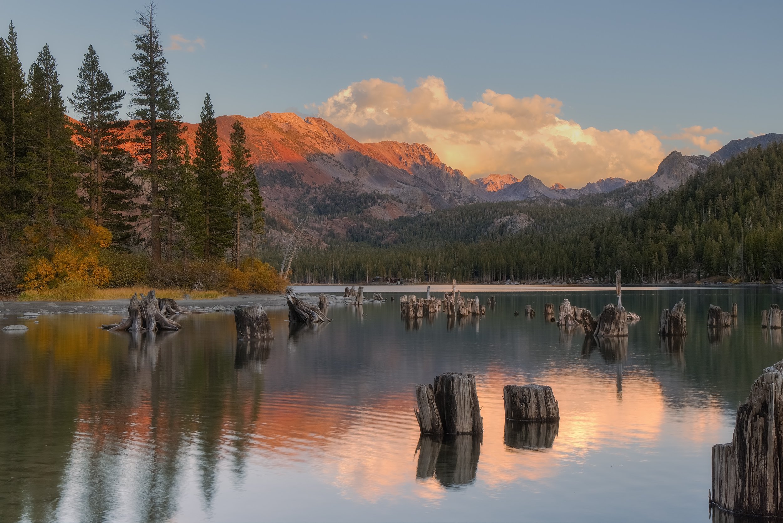
Last Light on Mammoth Lakes, Canon EOS R5, 47mm | 1/4 sec., f/11, ISO 500
As the light continued to fade away, I slowly packed up my gear, not really wanting the scene to end. As dusk approached, we found our way back up to the car and made the ten-minute drive back into town.
Day 5 – The High Desert, An Unfortunate History, and the Ancients
The Alabama Hills
This morning demanded the earliest wake-up call of the entire trip: a painful 3:30 AM alarm. I had longed to see Mt. Whitney – the tallest peak in the lower 48 – and the Alabama Hills with my own eyes for a long time. Even though we drove right through the area on night one, it was pitch black outside and we couldn’t see anything. So, I was determined to get down there, and what better time than sunrise? Given that it’s at least a two-hour drive south from Mammoth Lakes, the 3:30 AM alarm was necessary.
I drove through the night as Meagan and Amelia slept in the backseat of the car. The drive was quite enjoyable, because in contrast to the LA traffic, we were the only car on the highway for miles. Once we dropped lower towards the town of Lone Pine, I even saw a few coyotes dart across the road in front of my headlights, a quiet reminder that we are just visitors in the places they call home.
By the time we navigated the dirt roads into our spot in the Alabama Hills, the mountains were already starting to awaken in the pre-dawn glow. That soft lighting was cast across the range, and this is where the Sierra shows its true relief. The Alabama Hills sit at an elevation of only around 4,000 feet, whereas Mt. Whitney immediately rises over 10,000 feet in front of you. The mountains here just look massive. And in front of that wall of granite sits the alien landscape of the Alabama Hills, famous as the backdrop for numerous Hollywood films like Iron Man, Gladiator, and Tremors.
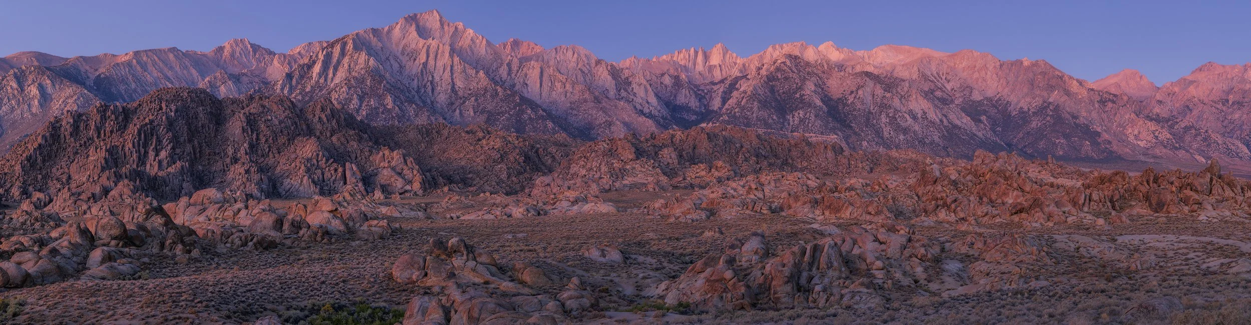
Dawn's Early Light, Canon EOS R5, 3-Frame Panorama, 61mm | 8 sec., f/11, ISO 200
The name “Alabama Hills” derives from prospectors who sympathized with the Confederacy. Following news of raids on Union vessels by the CSS Alabama in 1863, these prospectors decided to name the region after the ship. Union-sympathizers responded by naming nearby mountain passes and peaks “Kearsage,” after the USS Kearsage sunk the Alabama in 1864.
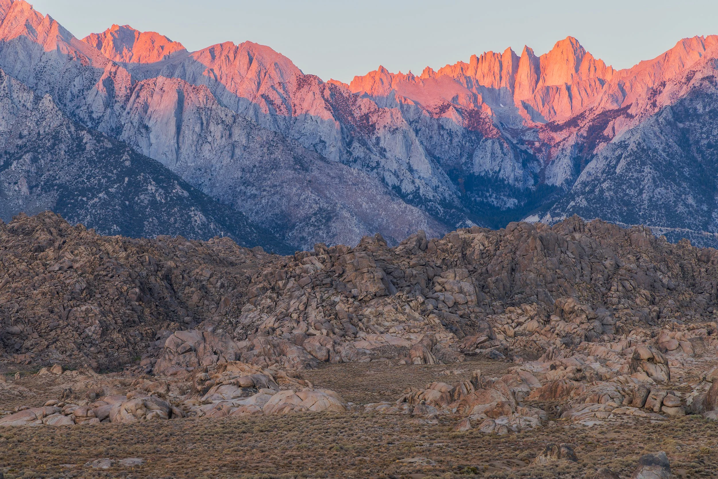
Alpenglow over the Alabama Hills, Canon EOS R5, 105mm | 1/10 sec., f/11, ISO 200
Finally, the sun began to strike the peak of Mt. Whitney. The summit was immediately cast into a deep, red glow. It was incredible to witness the start of the day from the desert floor and imagine what that day’s view must have been like for any climbers standing on the mountain at that exact moment.
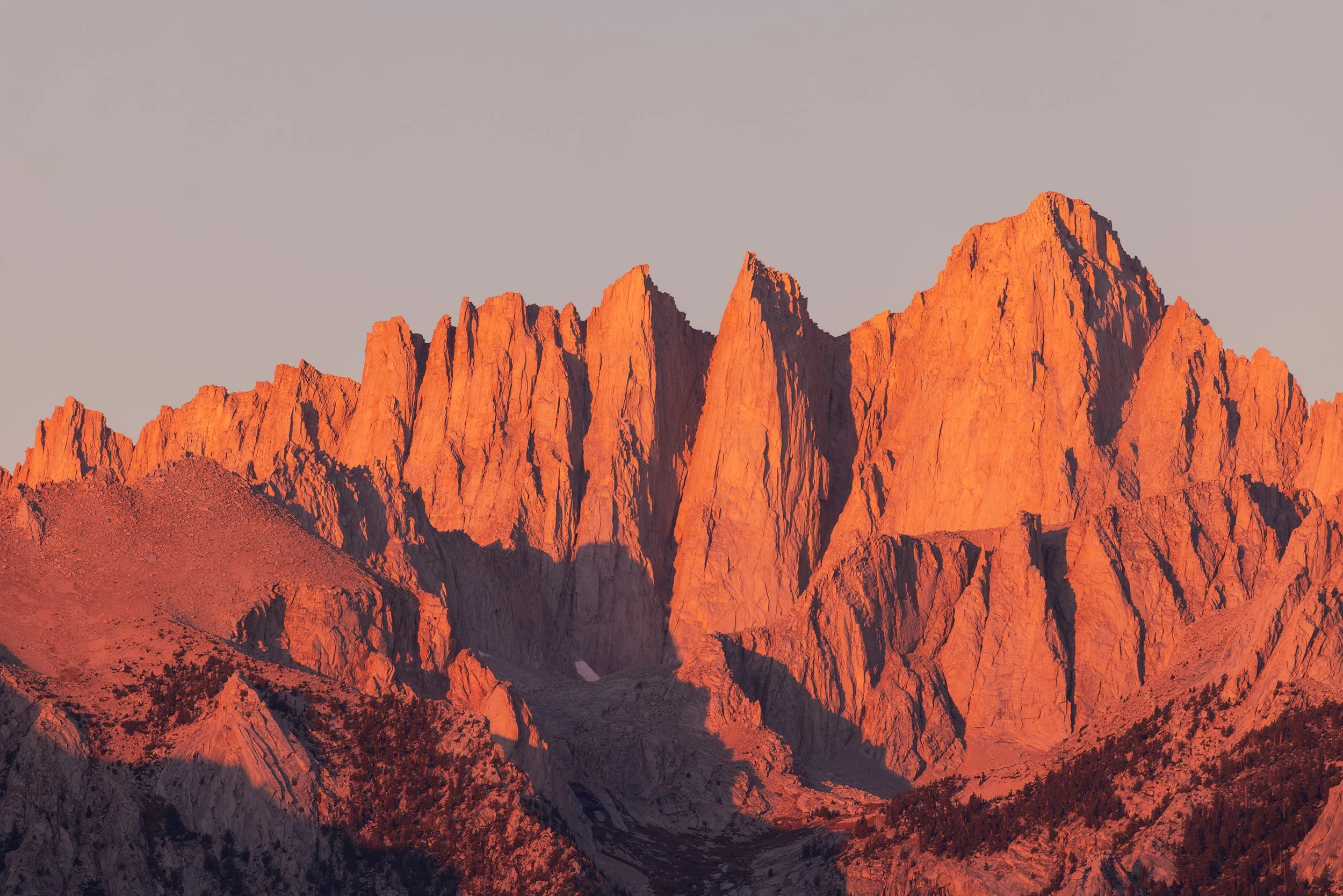
First Light on Mt. Whitney, Canon EOS R5, 400mm | 1/25 sec., f/11, ISO 200
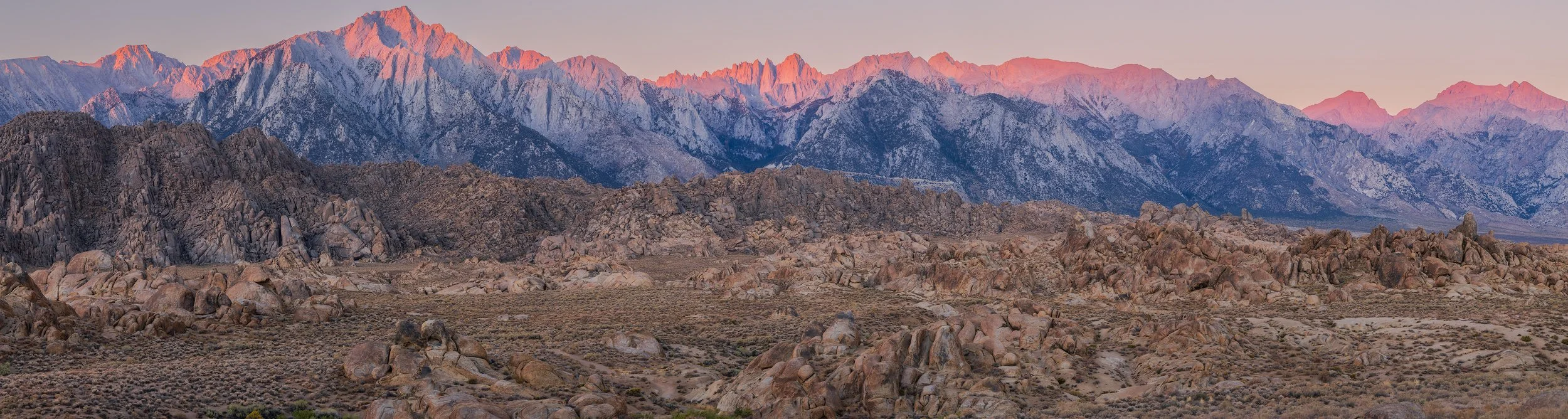
Song of the Sierra, Canon EOS R5, 3-Frame Panorama, 65mm | 1/8 sec., f/11, ISO 200
I then decided to fly the drone around after snapping a few stills, wanting to appreciate the bird’s-eye perspective of the unusual landscape. After driving around the dirt roads for a bit and taking some family pictures, we drove the short way into town for breakfast and coffee at a small local café.
Manzanar
On our drive back north, I decided to take a detour to visit the Manzanar National Historic Site. I didn’t take any photos on my camera here (the sun was already high, and you guessed it, the lighting was too harsh). But I felt it was important to stop and see the site firsthand.
Manzanar was one of ten concentration camps where over 120,000 Japanese Americans were forcibly relocated and incarcerated by the government during WWII.
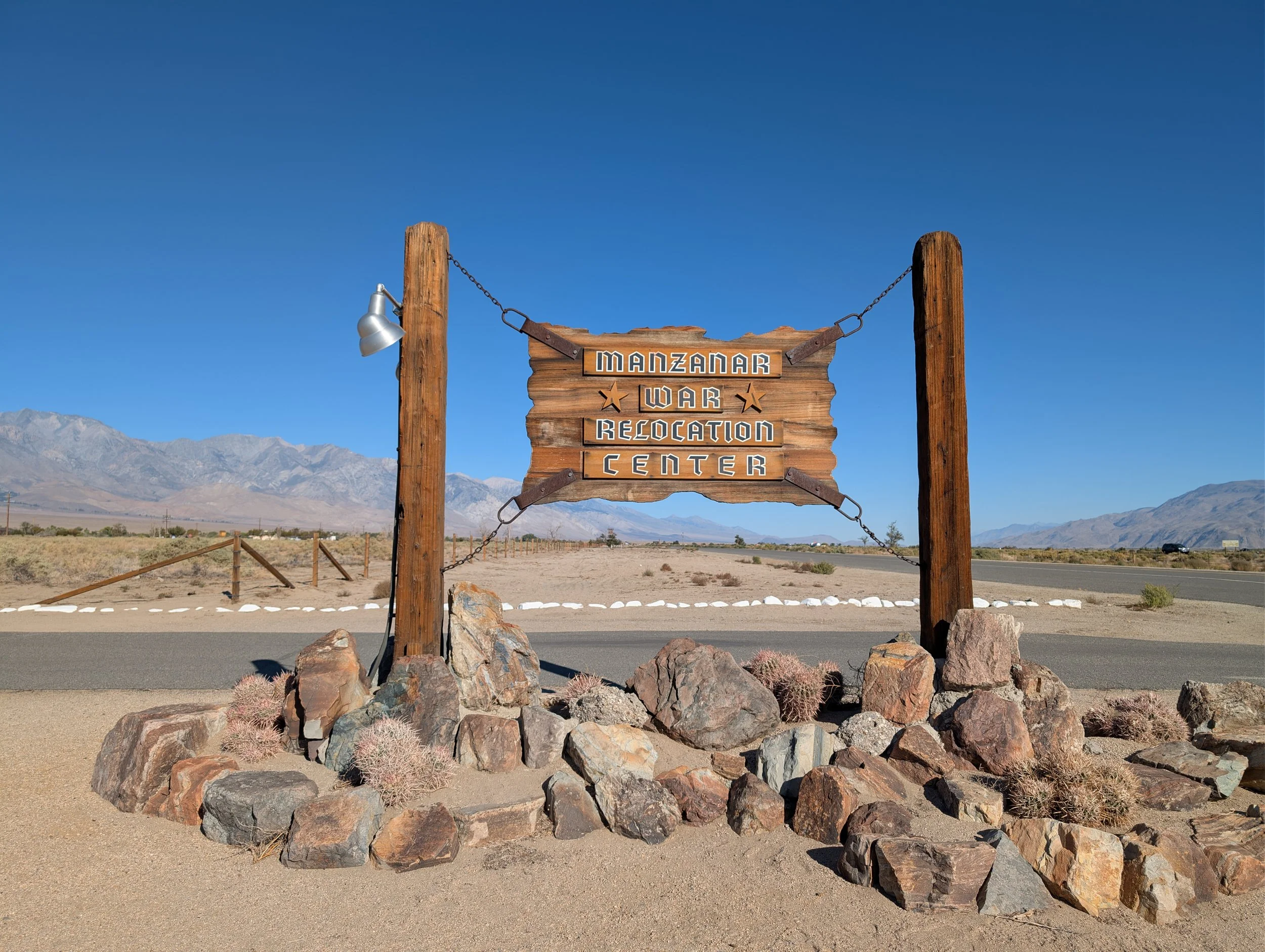
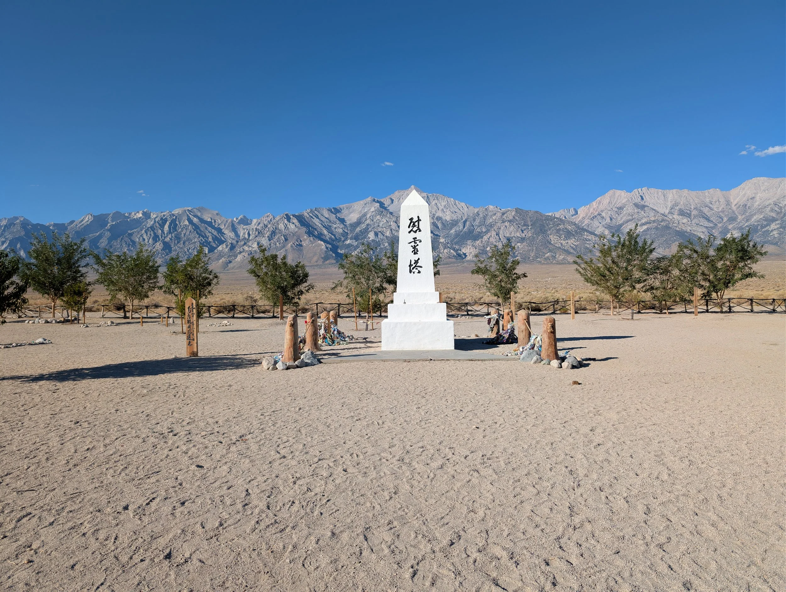
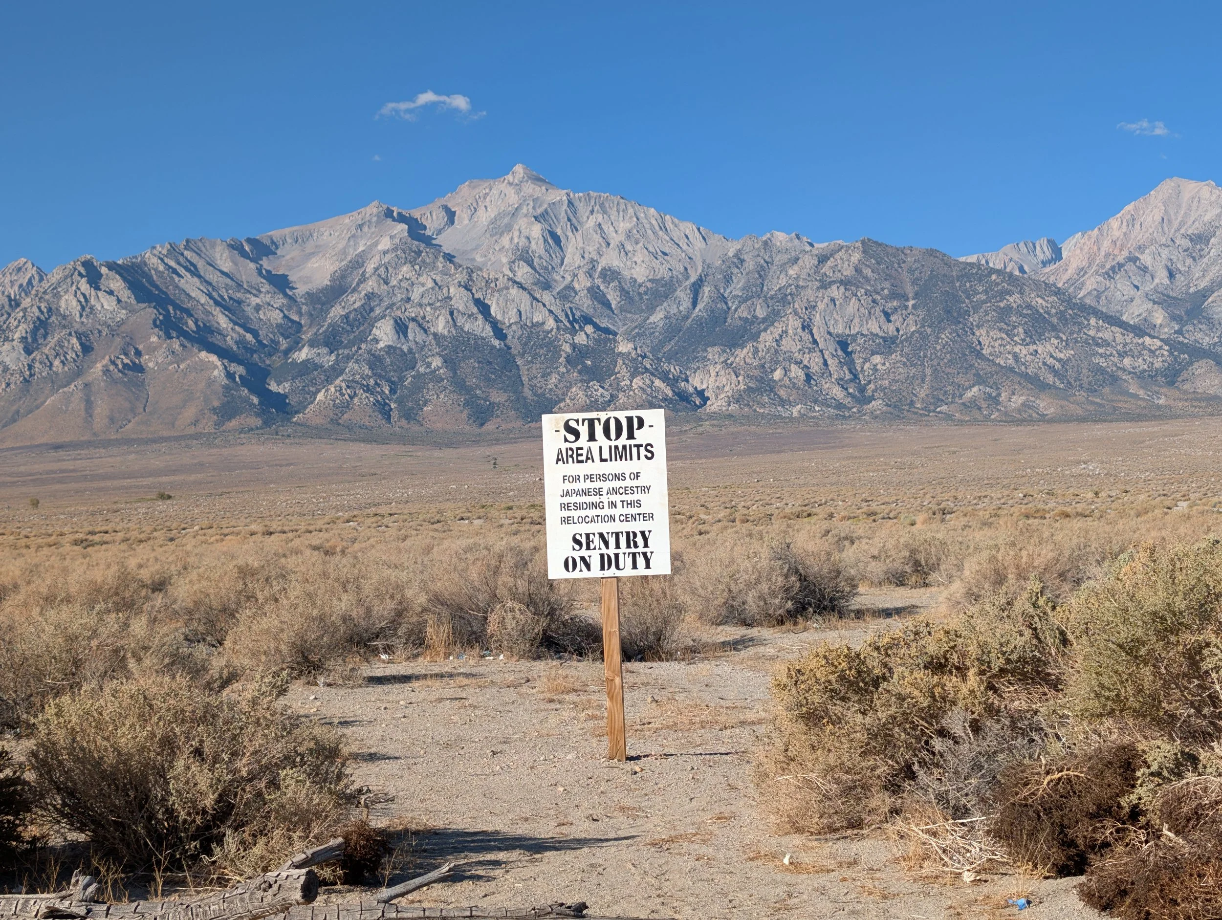
We drove through the auto tour route, stopping at the cemetery monument before continuing on our way. Standing at that white obelisk surrounded by dry dirt, wind, and barbed wire, with the formidable Sierra peaks looming behind it, leaves a heavy feeling. It certainly made me reflect on how easily civil liberties can be suspended during our darkest moments in history.
Ancient Bristlecone Pine Forest
Continuing north, I turned off from HWY 395 and onto CA-168, and the landscape immediately started to change. We were climbing fast through the many twists and turns of the mountain road, and there was an immediate sense of isolation. Although 395 is remote in its own right, it still passes through towns and has four lanes. This felt different. As we turned off onto White Mountain Road, we kept climbing higher and higher until Meagan started to get nauseous from all the sharp turns. “Not this again,” I thought. Finally, after over an hour from leaving 395, we made it to our destination: Schulman Grove in the Ancient Bristlecone Pine Forest of Inyo National Forest.
Fun Forestry Fact: Inyo National Forest is actually one of the least forested National Forests in the United States, as most of its territory consists of high-altitude desert, granite peaks, and sagebrush flats rather than dense timberland.
At just over 10,000 feet in elevation, we had clear views across the Owens Valley towards the Sierra peaks, and we could immediately see the Great Basin Bristlecone Pines scattered on the mountain slopes.
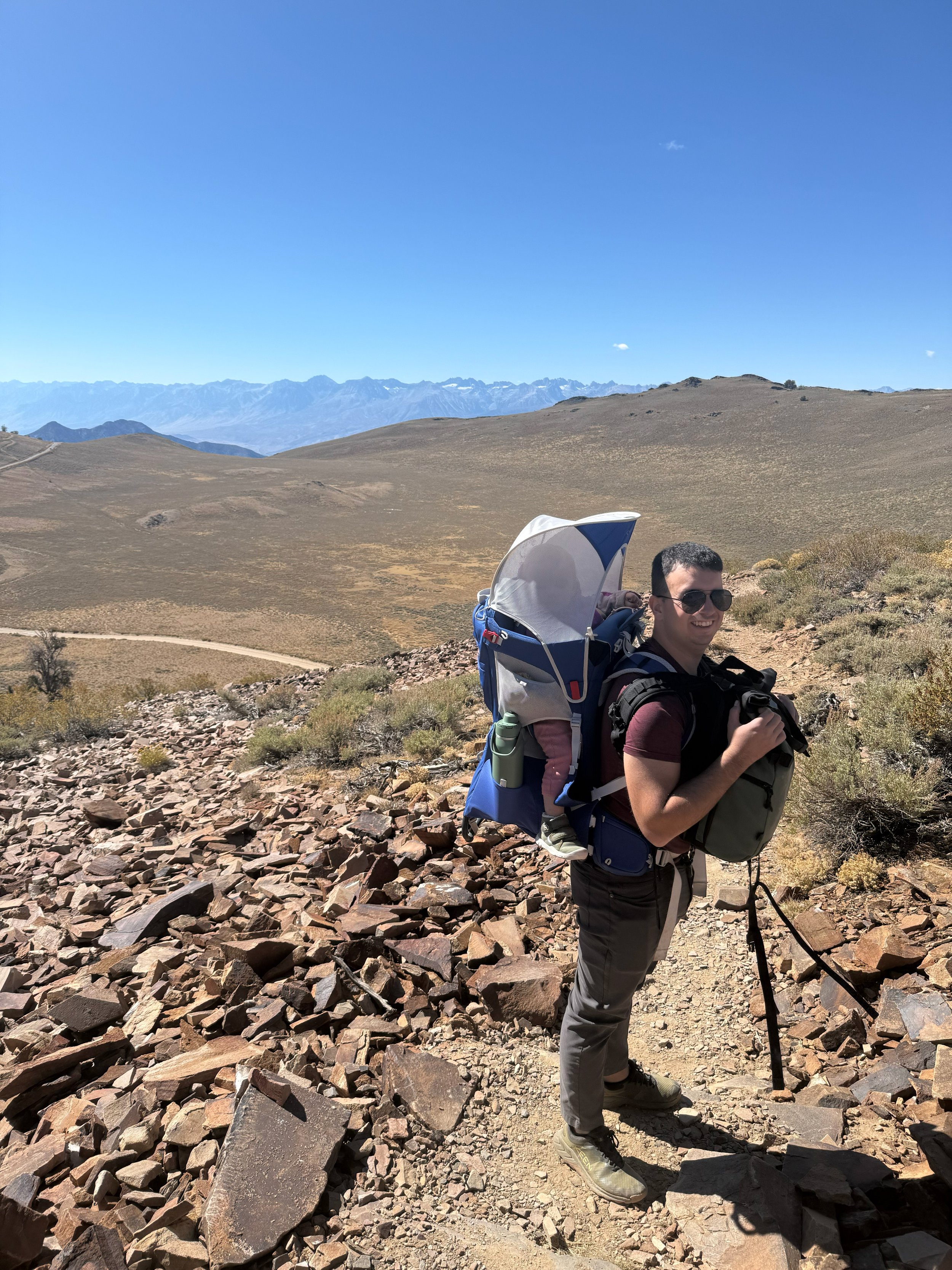
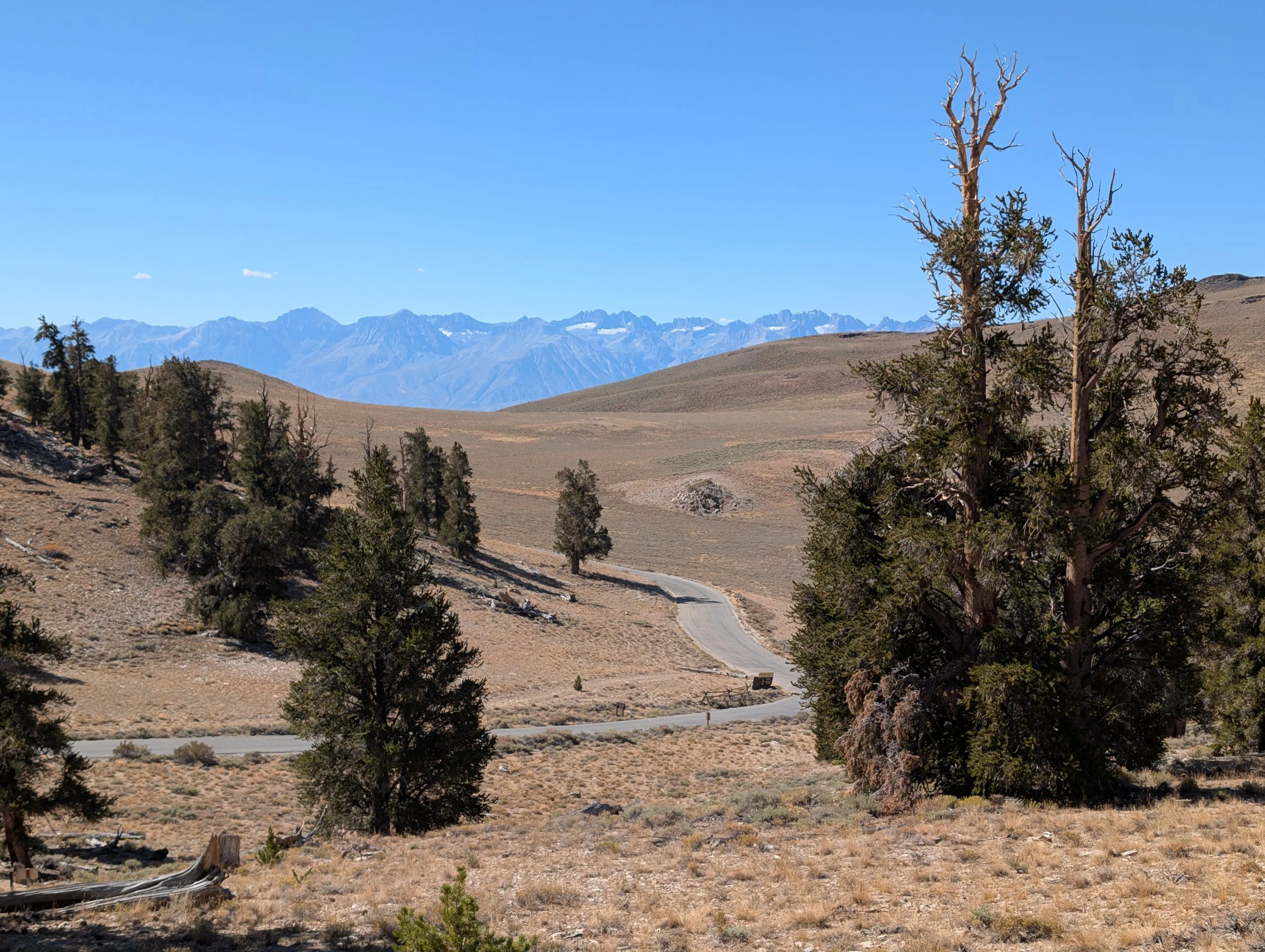
Visiting this forest is something I have dreamed of ever since I first learned about these trees years ago. Seeing them in detail was fascinating. They are weathered, twisted, and gnarled by wind, yet their needles are surprisingly soft and fragile to the touch.
These trees only grow between 9,800 and 11,000 feet and are the oldest living non-clonal organisms in the world. A specific tree, known by Methuselah, is a confirmed age of 4,858 years, making it older than the Egyptian Pyramids and Stonehenge. In fact, these trees are roughly the same age as written language itself!
In 2009, a researcher sampled a tree that tested at 5,062 years old. The Forest Service keeps the exact locations of the oldest trees a secret to protect them from vandalism, but they are not hidden behind fences. They are scattered right along the public paths, meaning we very well could have walked right past the world’s oldest living thing without even knowing it!
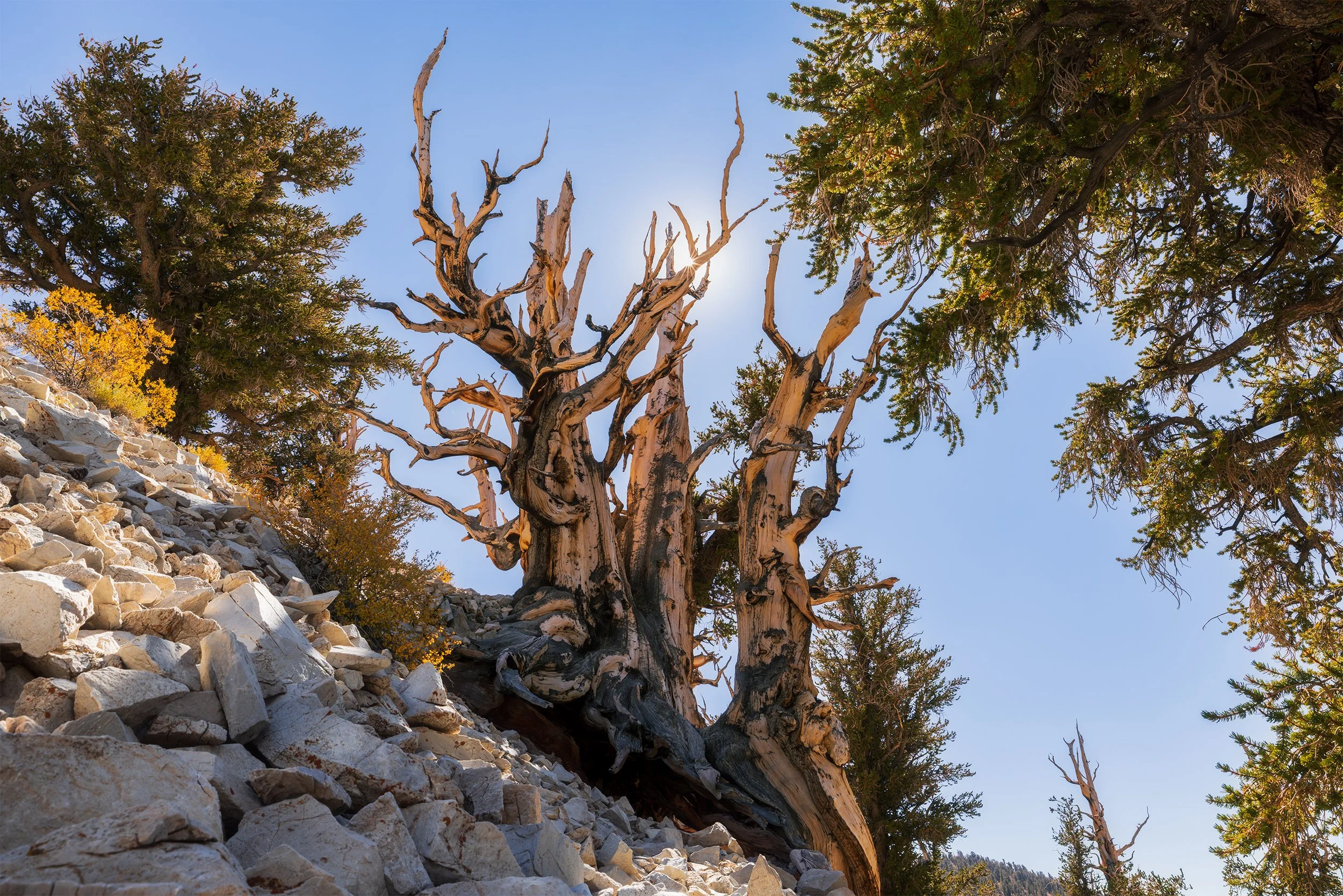
Autumn among the Ancients, Canon EOS R5, 22mm | 1/60 sec., f/14, ISO 200
We decided to hike the Discovery Trail, as it was the shortest loop. I had a specific image in mind, even though it was well into midday. After hiking for some time, we found the perfect spot, and I crouched down as low as I could to get the image in frame. I decided to shoot with a small aperture (f/14) to create a sun-star effect with the sun peeking out from behind a branch. There was even a small bush with yellow autumn leaves, creating a great contrast to the image.
After enjoying our hike through the grove, it was time to drive back down the winding mountain road back to the Air BnB so we could clean, pack up the car, and prepare for the next leg of our journey…
Day 6 – To the Cascades
Departure from Mammoth Lakes
With the car loaded up and the Air BnB clean, we left Mammoth Lakes just after our breakfast and as the sun began to poke up over the eastern horizon.
We had a long, six-hour drive ahead of us to reach our next destination: Lassen Volcanic National Park, which would mark our 50th National Park (and Amelia’s 17th)! We continued north, passing through the tiny towns that dotted the valley until we crossed into Nevada (Amelia’s 13th state). We eventually reached Reno by lunch time, where we stopped for a bite to eat and filled up on much cheaper gas before crossing back into California.
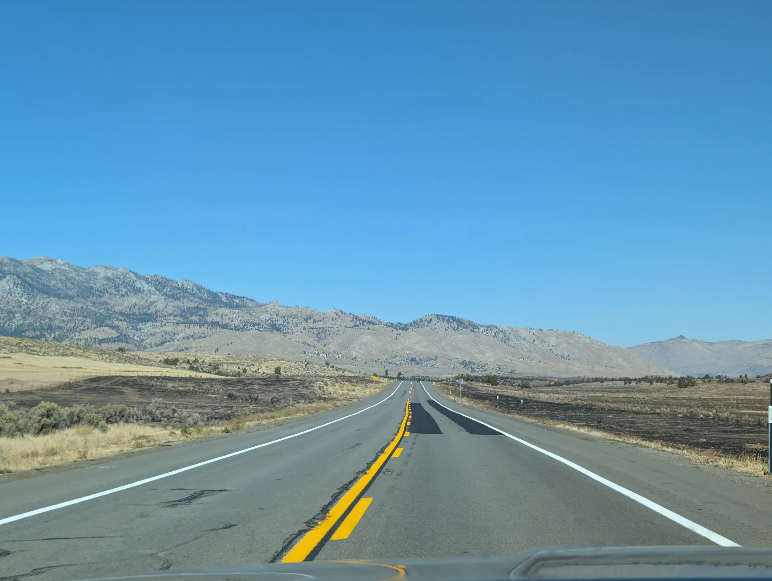
Northern California felt much different here, looking far more similar to the countryside I’m used to: two-lane roads cutting through endless miles of sagebrush and high desert, passing through tiny ranching towns with distant hills on the horizon.
After a few turns, the open plains gave way to pine forests. Soon, we were traveling westward, back up into the mountains, although this time we were in a different range: the southern extent of the Cascades.
Finally, after almost 7.5 hours after leaving Mammoth Lakes, we made it to Lassen Volcanic National Park.
Exploring Lassen
Our first stop was the visitor center, where we grabbed a few souvenirs, stamped Amelia’s passport book, and let her stretch her legs before driving along the Volcanic Legacy Scenic Byway that runs through the park.
Although we still had nearly half a day to enjoy the park, we decided against doing the three-mile hike down into Bumpass Hell, the main geothermal area, because we weren’t sure how well Amelia would do on that long of a hike. Instead, we pulled over at Sulphur Works, which was just off the road, and watched as mud boiled in the ground while steam rose from colorful hillsides. A strong, rotten-egg smell filled the air, which is a tell-tale sign of the volcanic activity below our feet.
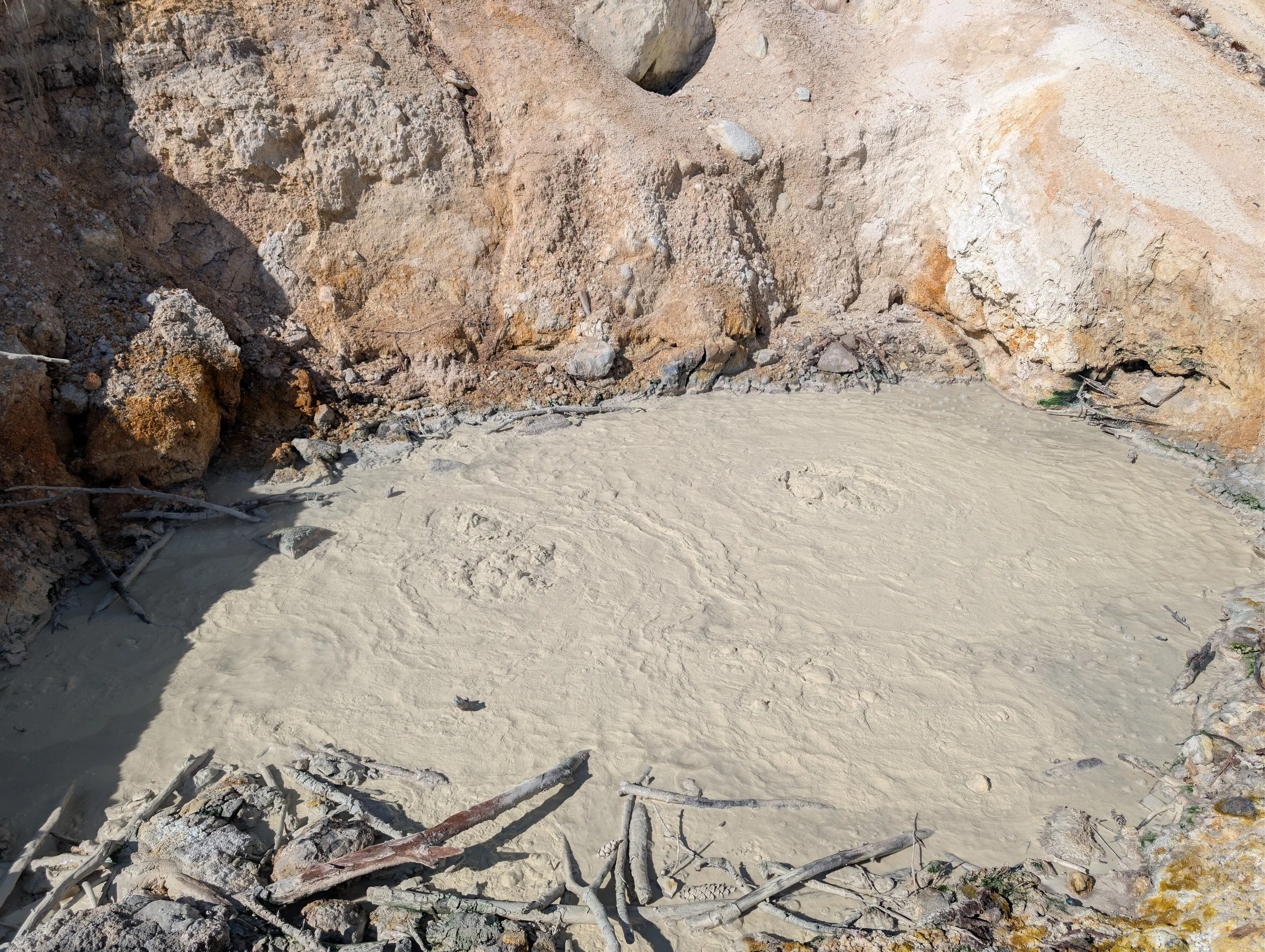
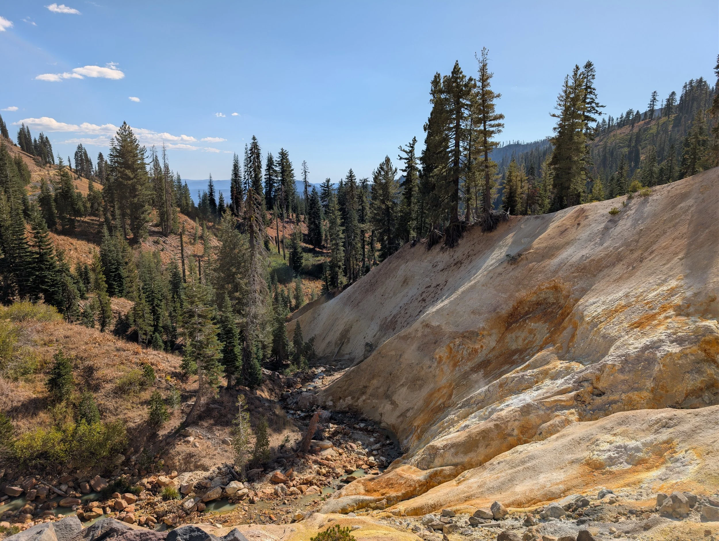
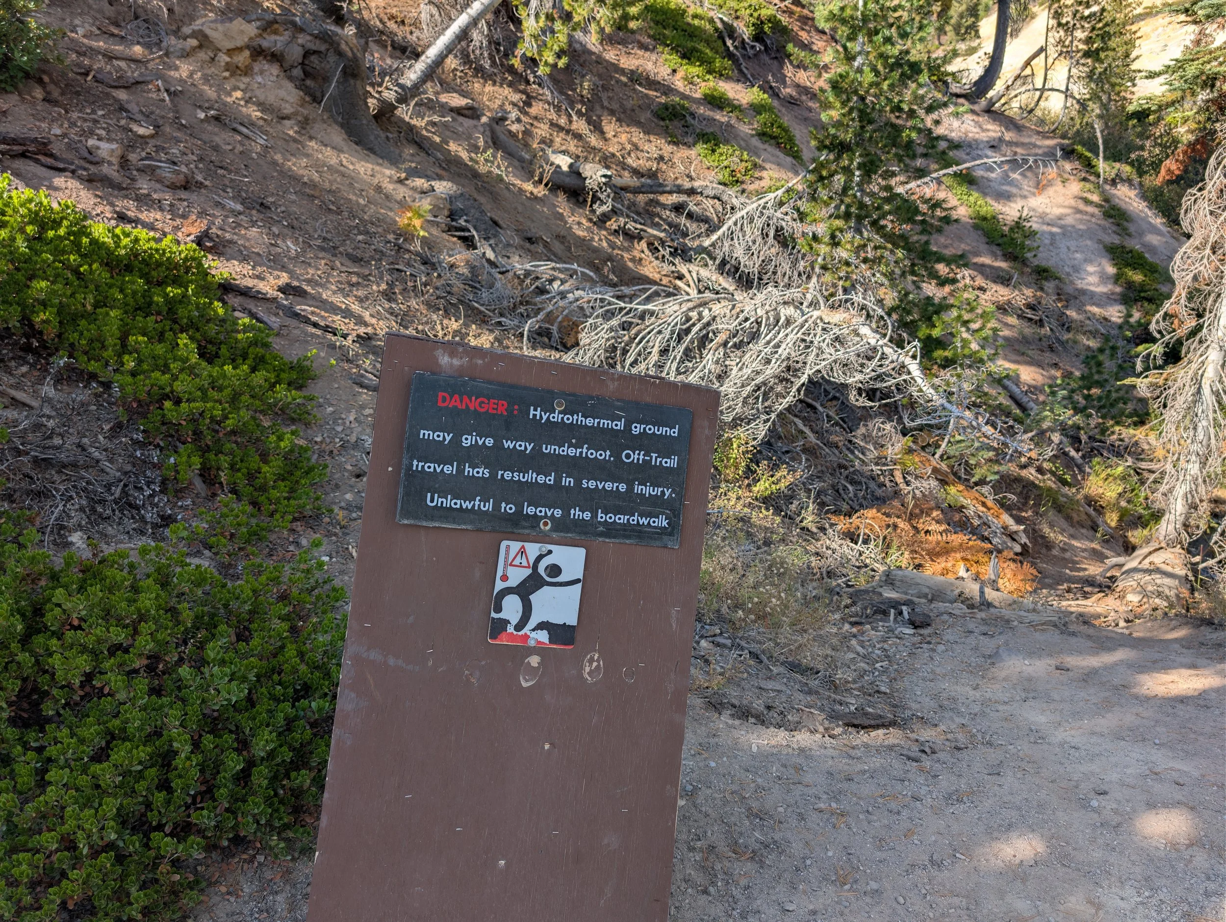
While technically dormant, Lassen Peak is very much an active volcano with a live magma chamber beneath the surface. While the chance of eruption is low, scientists do classify the peak as a very-high-threat due to the mountain’s proximity to people. The volcano last erupted in 1915, leaving a devastated area that threw massive boulders and flattened trees. However, the landscape and scientific value of the event directly led to the creation of the National Park in 1916.
Further up the road, I was immediately captivated by Emerald Lake. The lake gets its intense green color from a combination of shallow water, glacial runoff, and green algae growing on the sulfur-coated rocks along the lake floor. I spent a good amount of time here looking for unique perspectives and fighting with the harsh, cloudless sky.
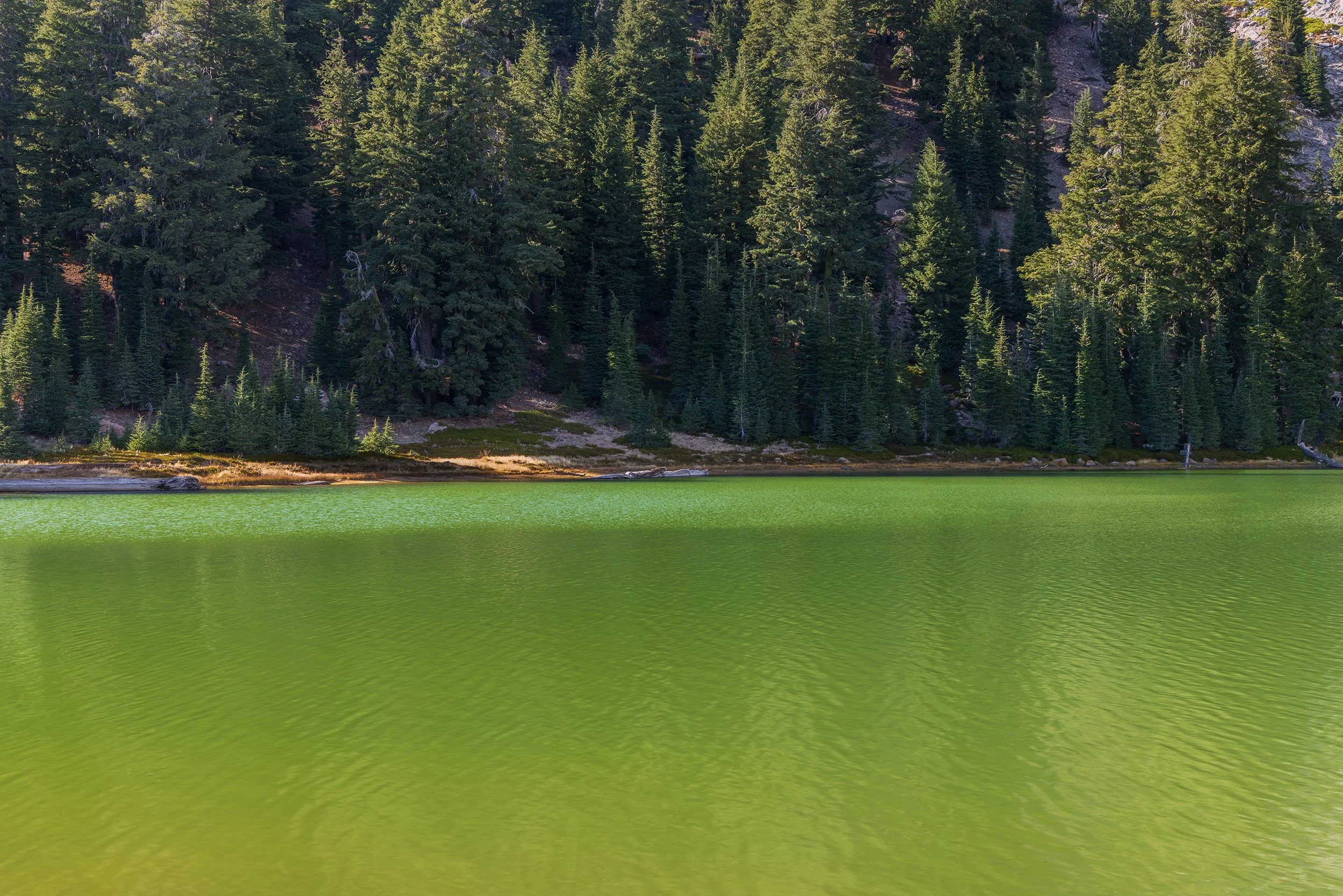
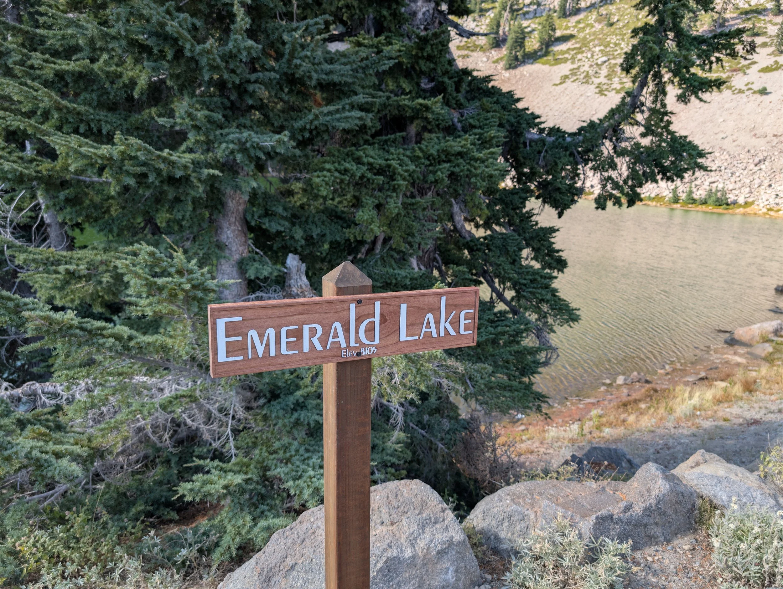
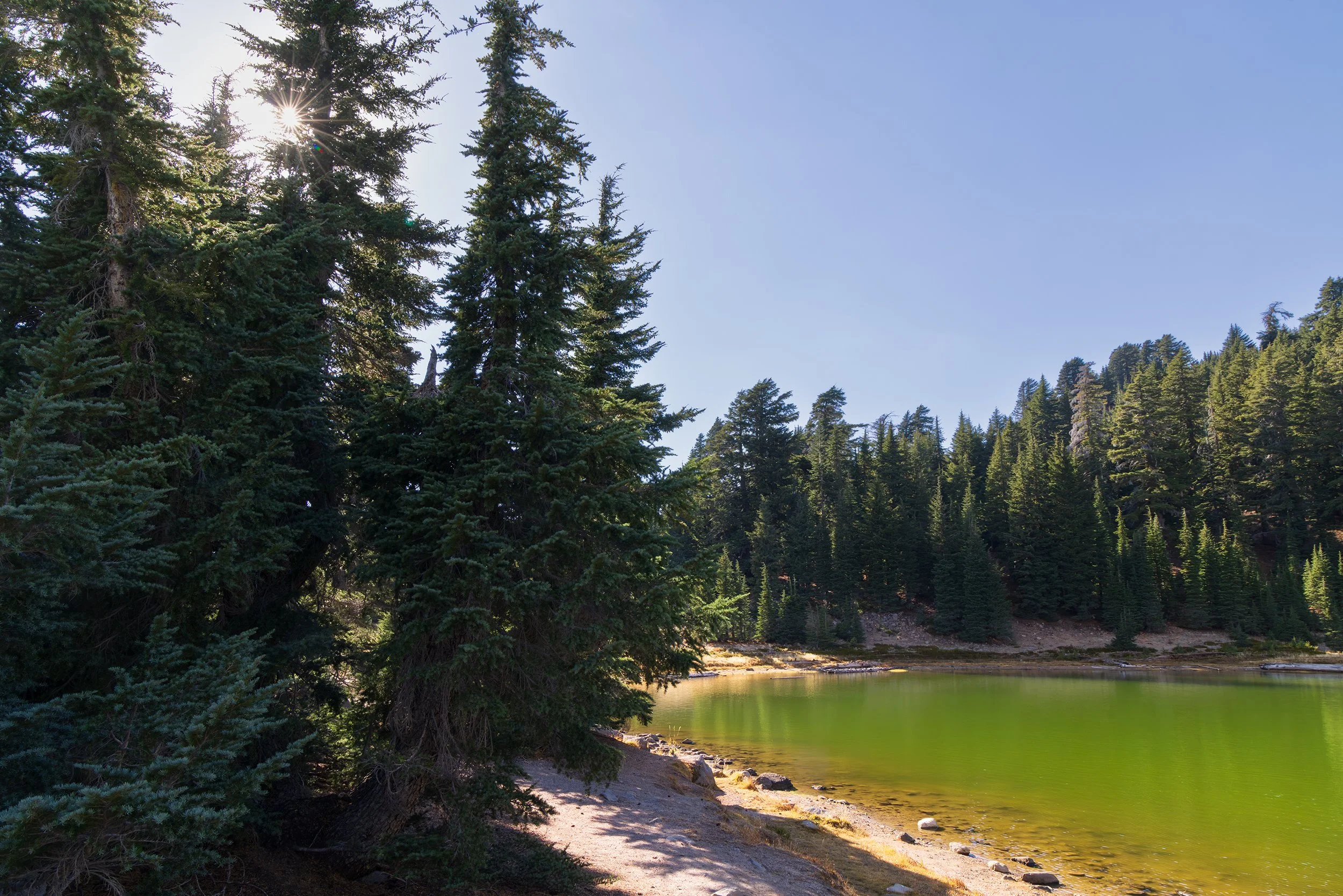
With some extra time to kill before sunset, we pulled off at a quiet picnic area along a stream to have some snacks and to let Amelia run around. It was honestly here that I found a deep appreciation for this park. While it functions a lot like a mini-Yellowstone with geothermal features, it is completely devoid of crowds. During the entire hour we sat there, there was only one other car in the parking lot.
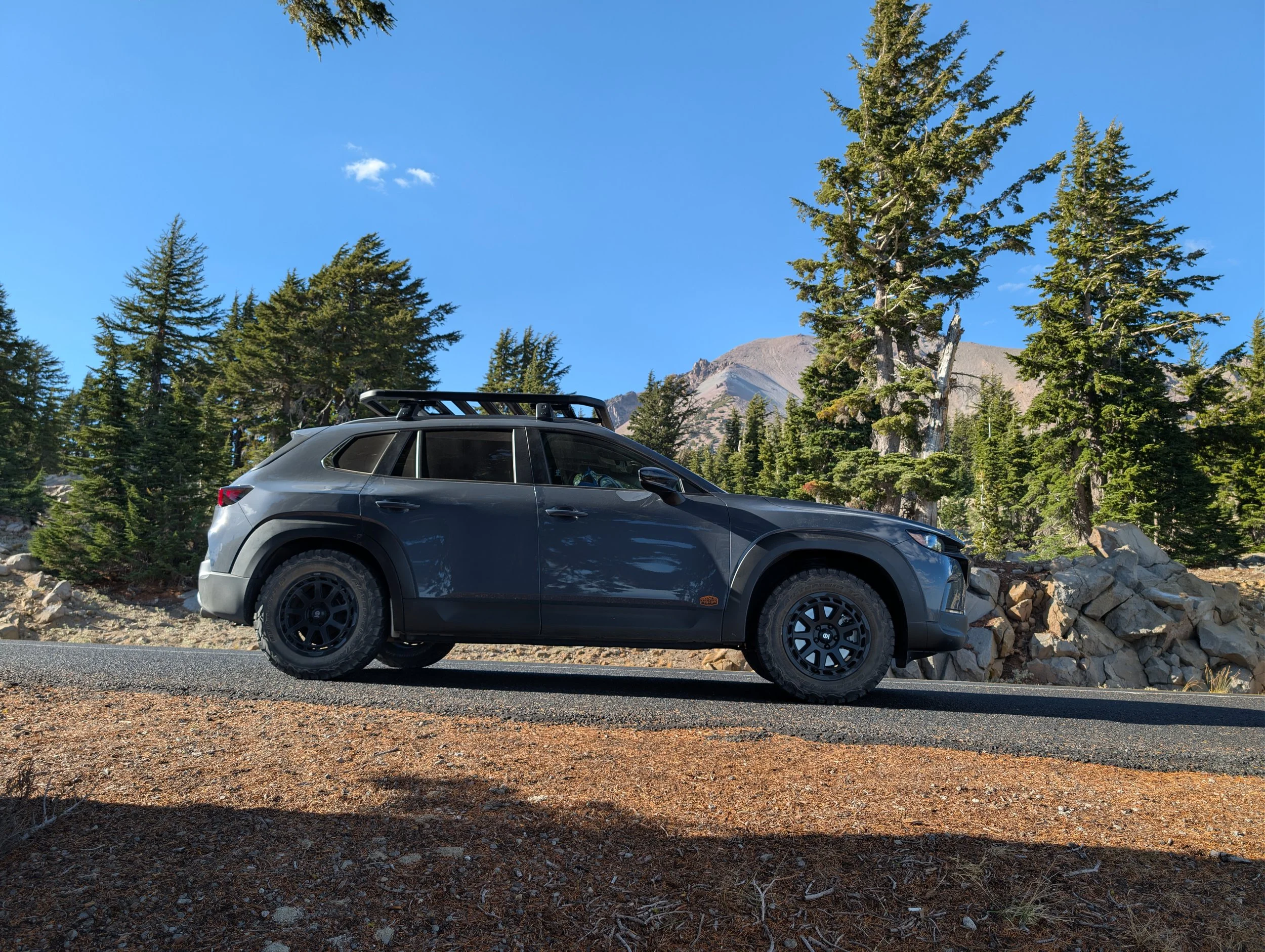
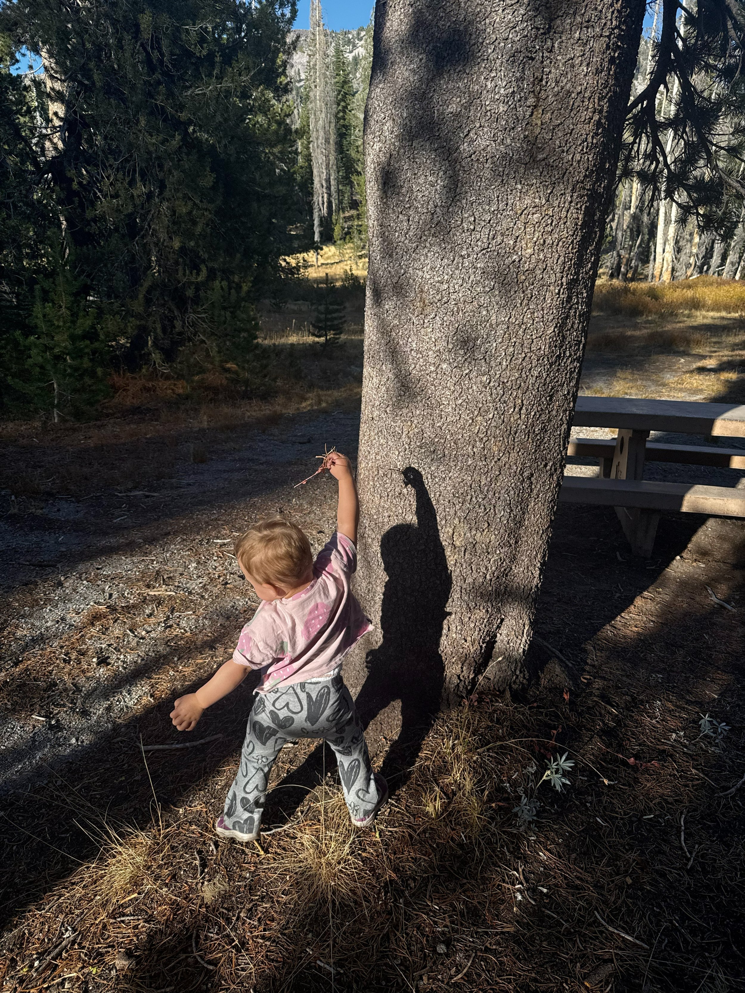
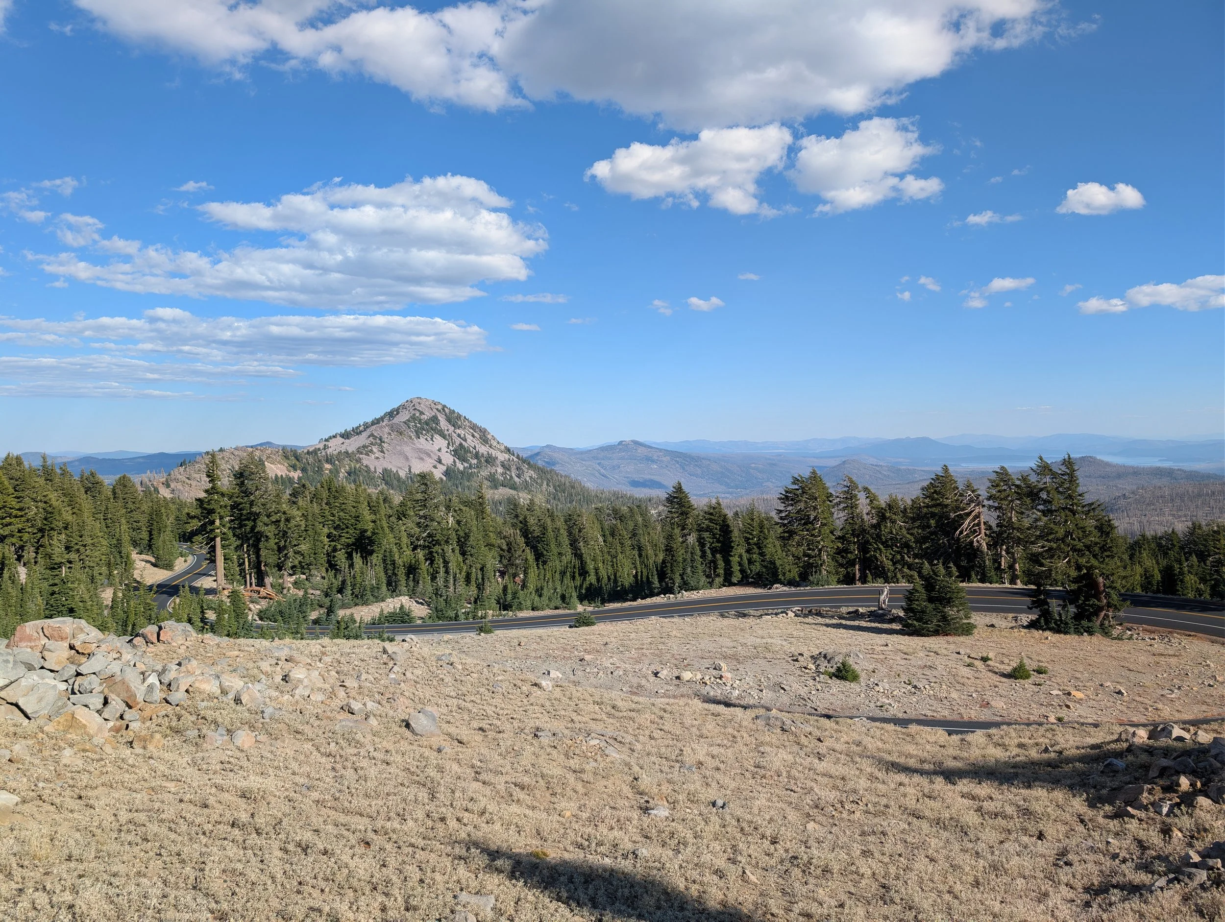
You could hear woodpeckers drumming in the trees and the creek softly cascading over nearby rocks. You could hear tall trees creaking in the wind and the rustling of dry leaves on the ground. The temperature was comfortably warm in the high 60s, and it finally felt like an autumn afternoon.
After driving the rest of the highway, we finally arrived at Manzanita Lake, which was the spot I mapped out for sunset.
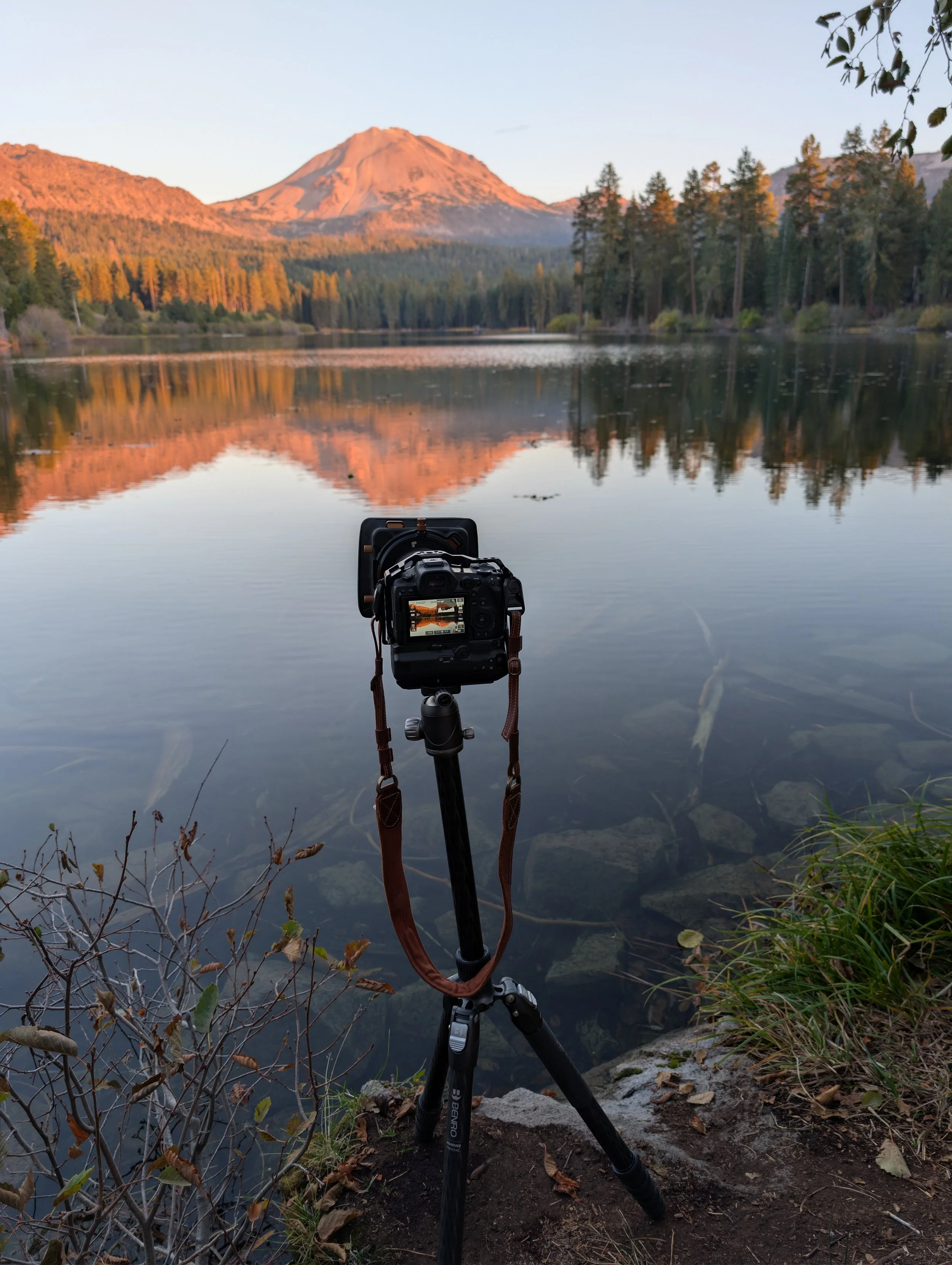
We parked along the northwestern shore, knowing that angle would offer the best view of Lassen Peak to the southeast. After testing a few compositions through the trees, I found a spot and patiently waited for the sun to drop. The lake was tranquil, with Lassen Peak reflected in its ripples while paddleboarders passed by, enjoying their evening. Eventually, the sun set behind us, and I caught the fleeting light hitting the volcano. Even though it was not covered in its usual winter coat, it was still a breathtaking sight and made it difficult to believe the mountain last erupted just over 100 years ago.
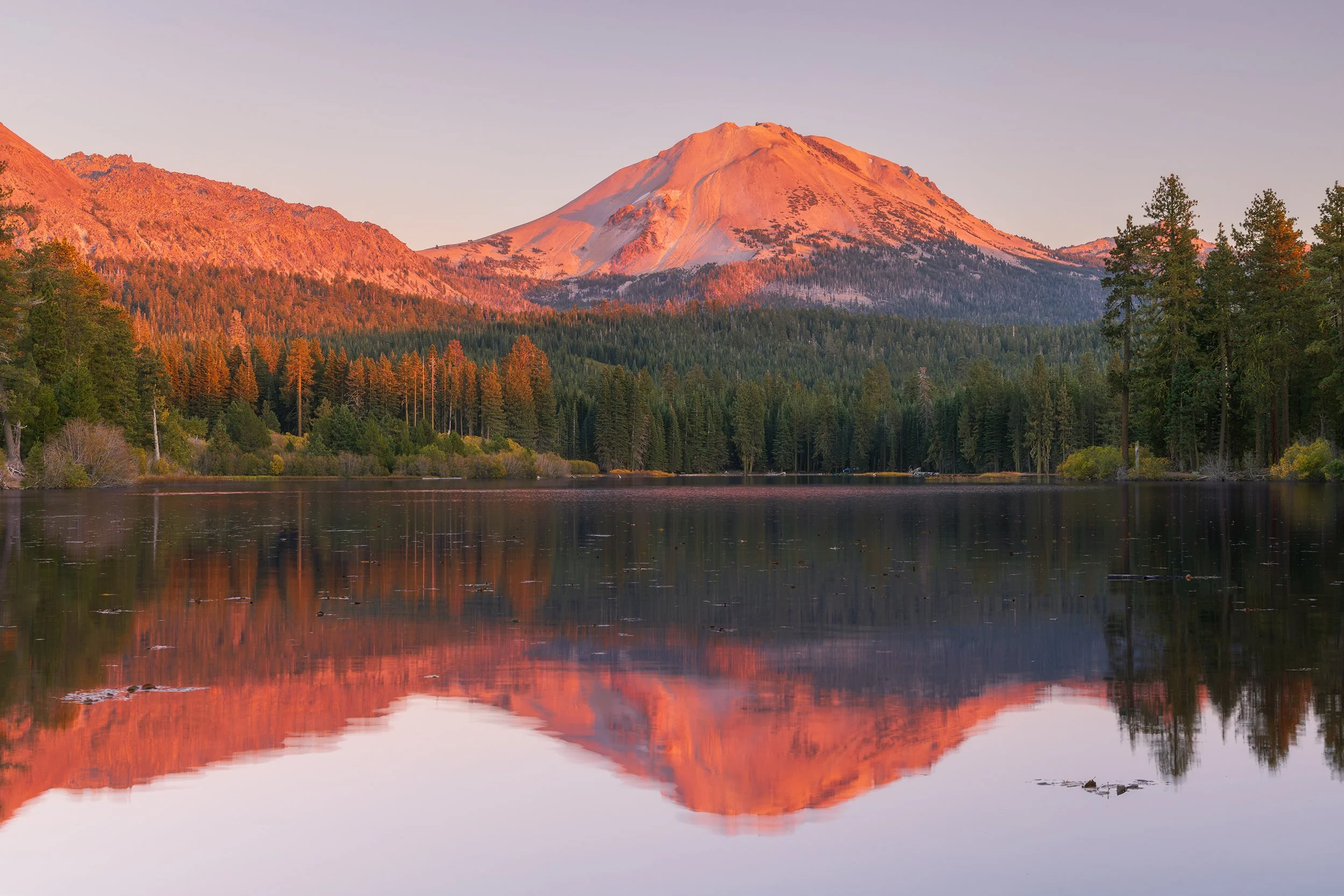
Last Light on Lassen Peak, Canon EOS R5, 50mm | 1/2 sec., f/11, ISO 250
Descending into Redding
Once the sun went down and knowing there still was an hour’s drive to the hotel, we packed up and headed down the mountain towards Redding.
We descended out of the cool mountain forests into the northern tip of the Central Valley. What was fascinating was watching the thermometer continuously climb higher as we dropped elevation, even though the sun had been down for some time. Once we arrived in Redding proper around 8 PM, the thermometer outside read 98°F!
Why is Redding so hot? Redding sits at the far northern end of the Central Valley, surrounded by mountain walls on three sides. Heat gets trapped in the valley, and as air sinks down from the mountains, it undergoes compressional heating, keeping temperatures extremely high even late into the night.
After stopping to eat some In-n-Out for dinner (which was actually the first time we got it since moving to California), it was time to rest up for another long day.
Day 7 – Volcanoes, Waterfalls, and Big News
Mt. Shasta
It was another early wake up call, as we had to travel an hour north to the shores of Lake Siskiyou. There was a slight chill in the air, and it finally felt as if autumn had arrived. The sun had yet to begin its rise, so a velvety darkness still lingered over the water.
Geese could be heard calling out across the lake, and the occasional splash of a diving bird or jumping fish broke the silence. Again, we were the only people awake and around, which added to the sense of solitude.
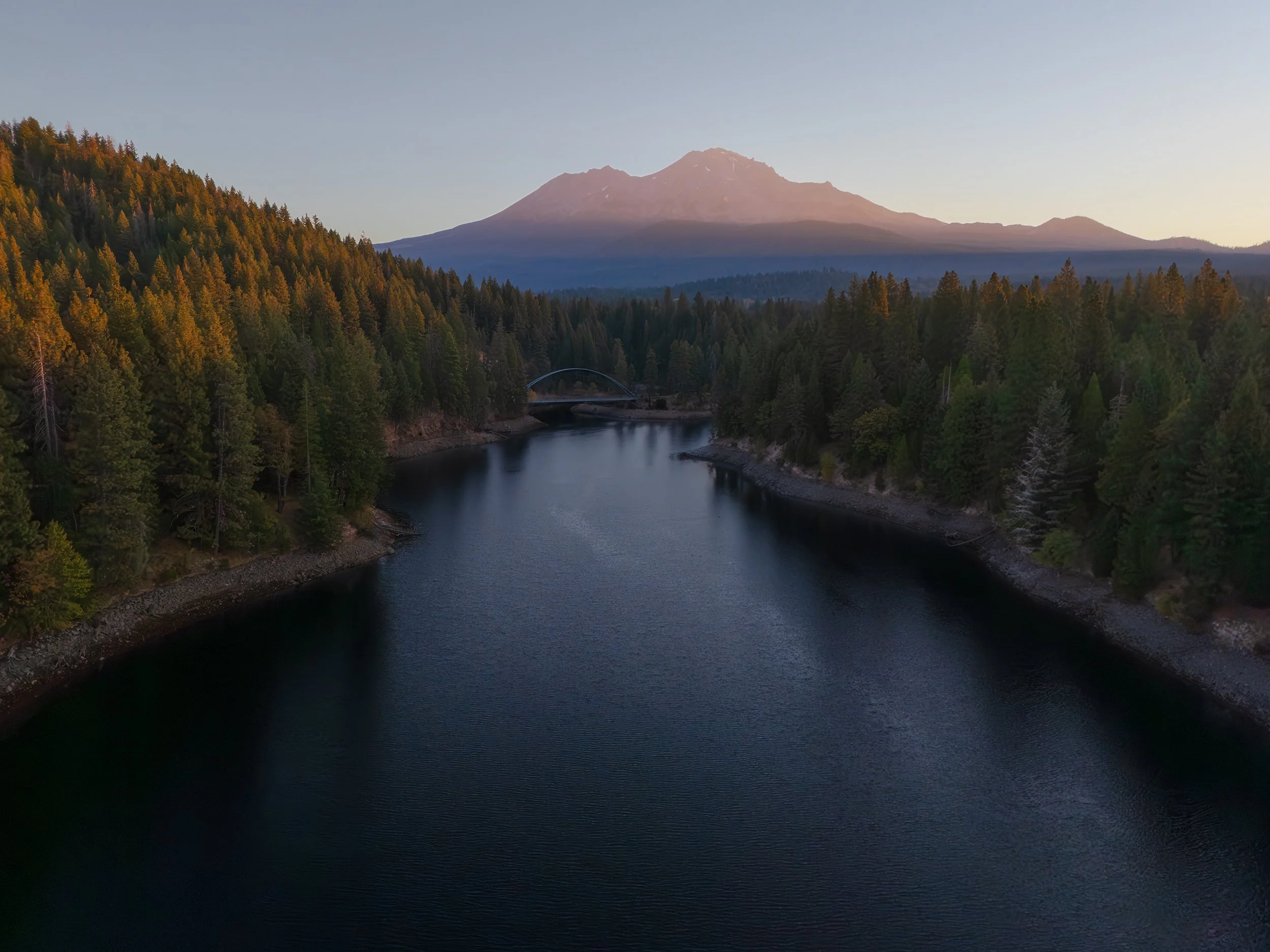
After some time, the sun finally began to rise. Unlike the other locations where the sun was setting or rising directly behind me, this time it rose off to my right. So instead of the classic pinkish/red alpenglow I had been chasing all week, I caught golden rays of light as they crested over the foothills, casting Mt. Shasta in a warm glow. Two kayakers then crossed in front of me, providing a great sense of visual scale against the massive 14,179-foot stratovolcano.
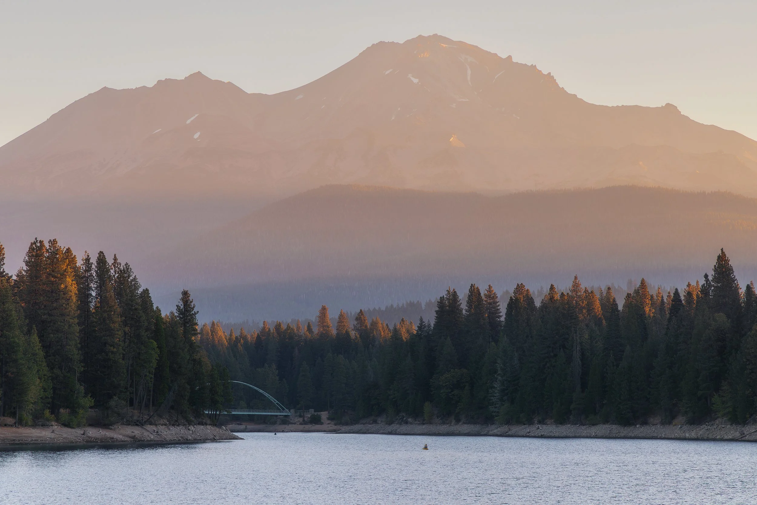
Siskiyou Dreams, Canon EOS R5, 105mm | 1/20 sec., f/11, ISO 500
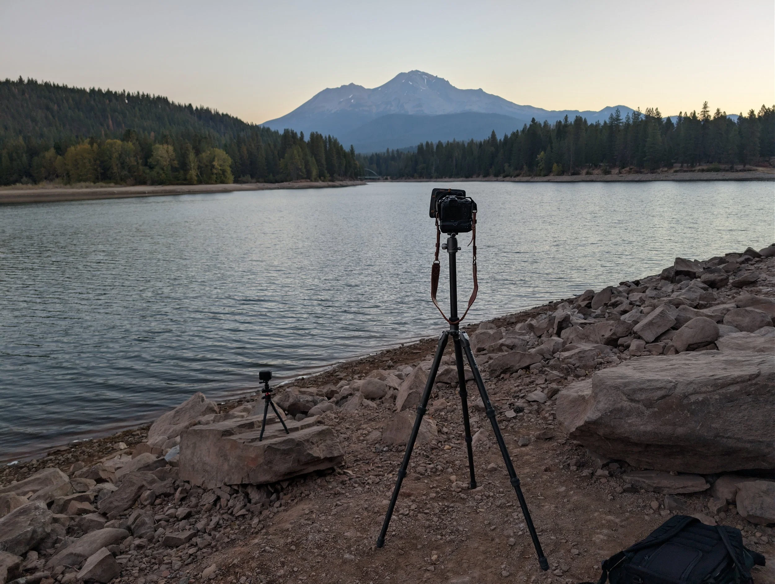
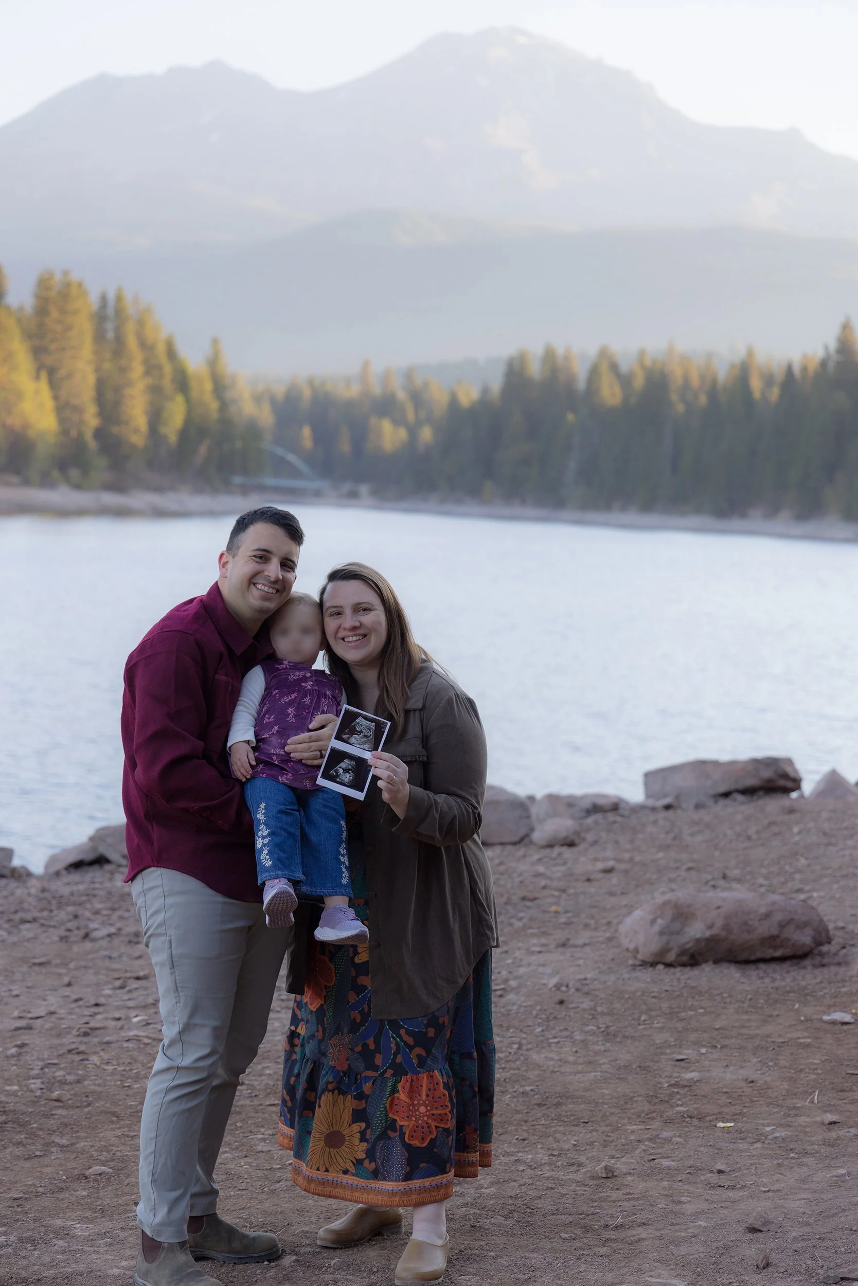
After taking photos and flying the drone around, we set up a small photoshoot on the shore where we officially announced the upcoming arrival of our baby boy! As if our lives weren’t hectic enough!
McCloud Falls
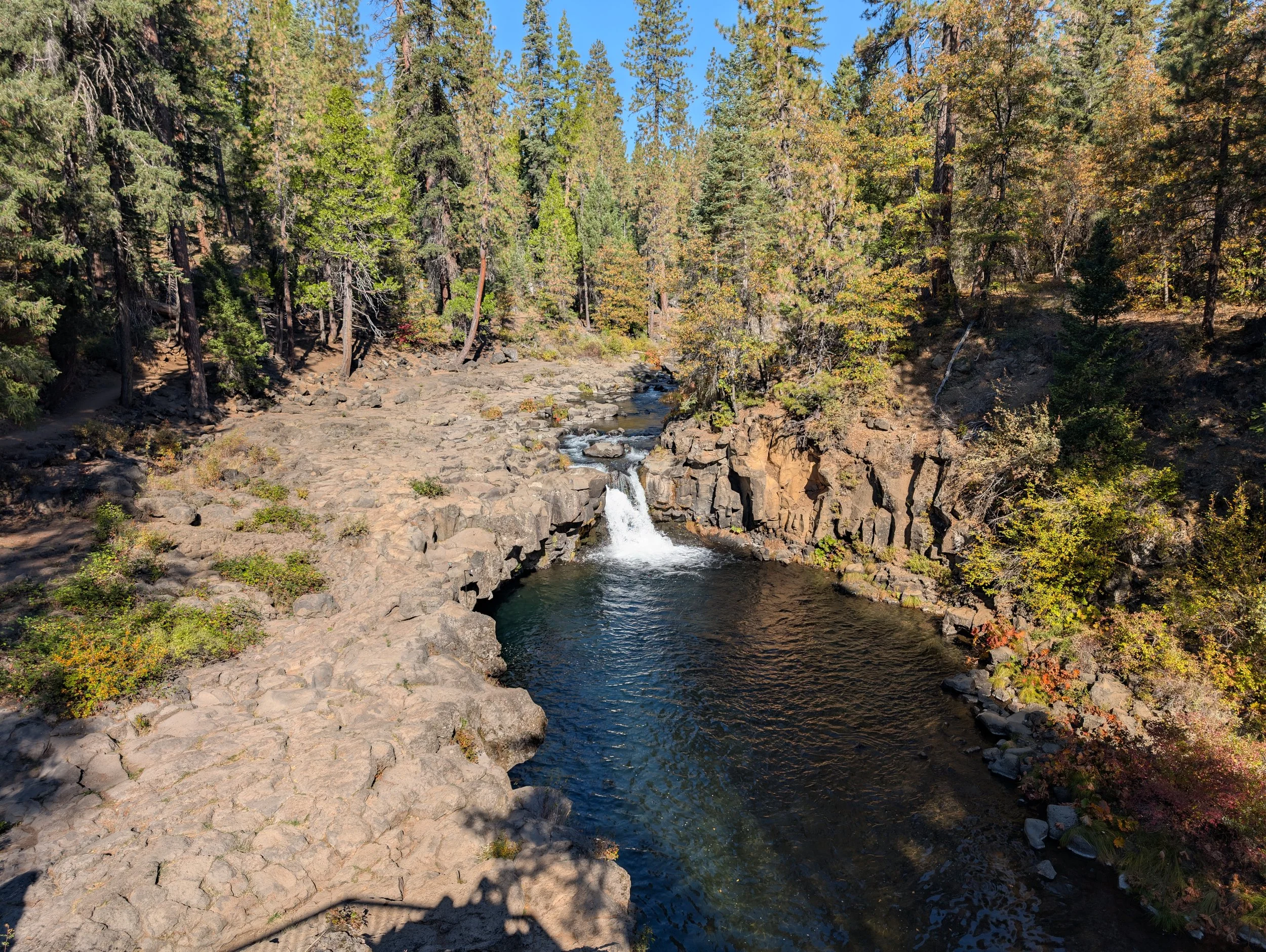
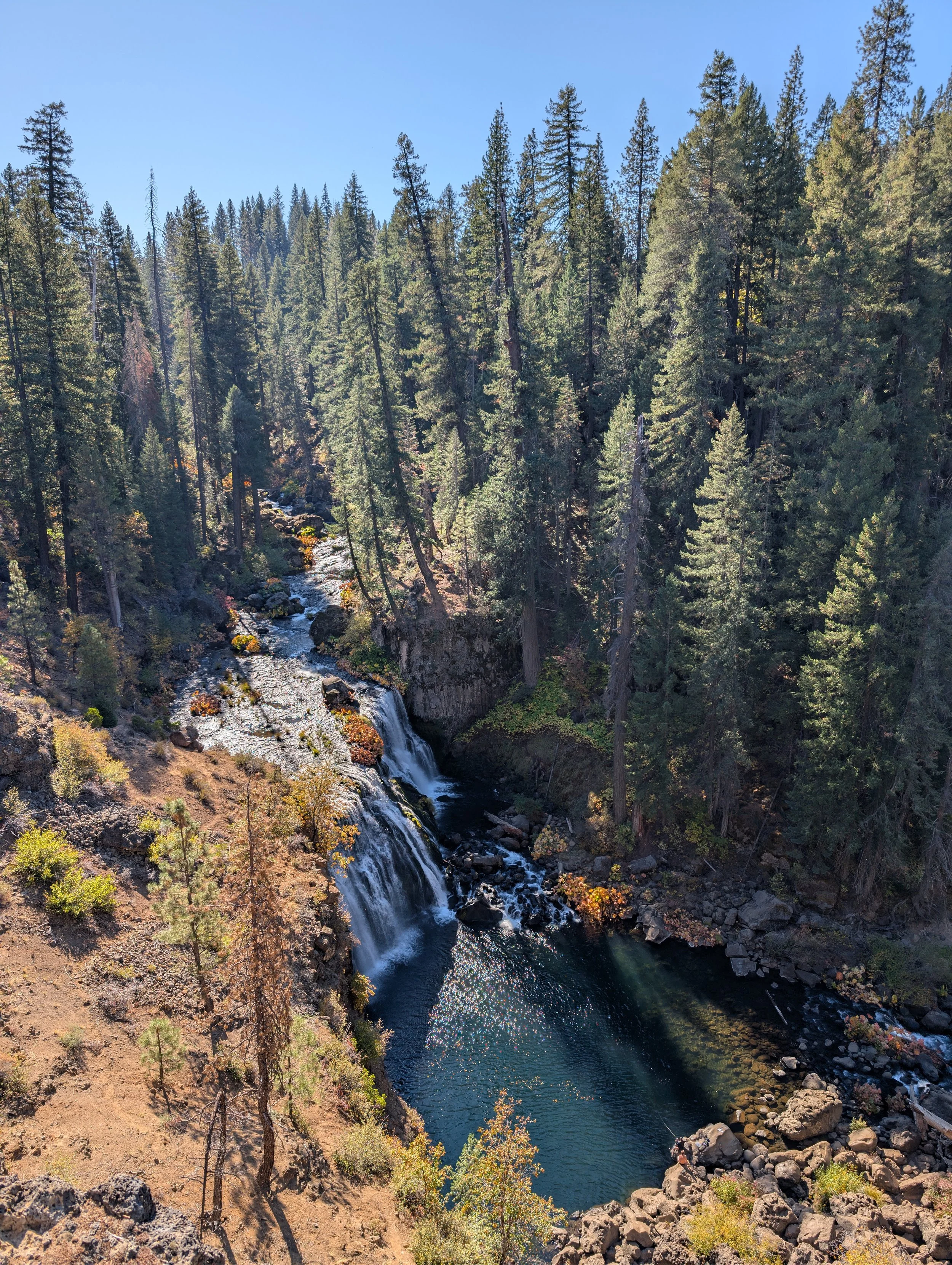
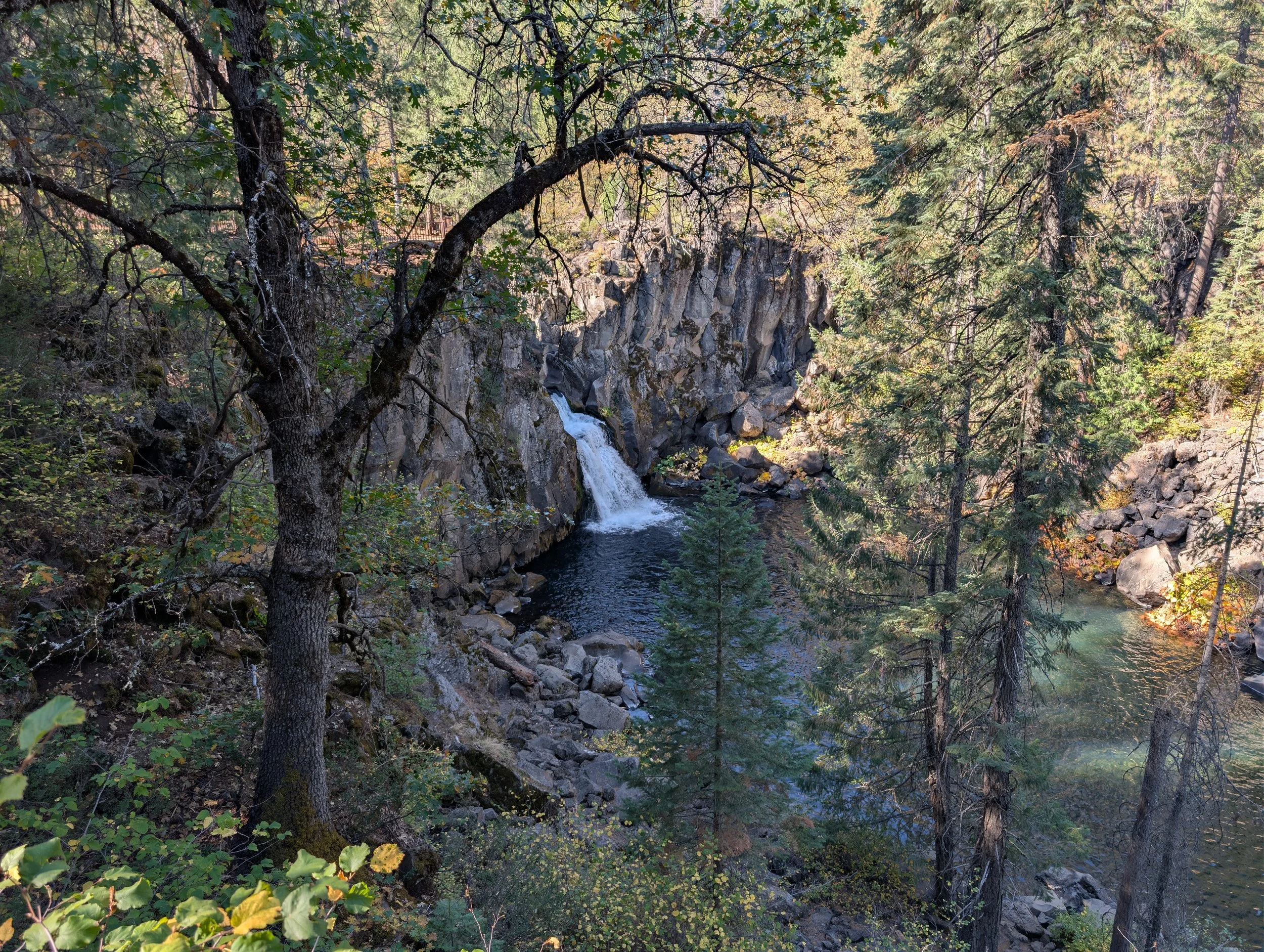
With the late morning light turning very bright, I decided against bringing my full camera rig to our next waterfall stops. Armed with just my phone and action camera, I walked to the overlooks of Lower, Middle, and Upper McCloud Falls and spent a few moments just enjoying the outdoors.
It was comfortably warm, a gentle breeze rustled through the pines, and the scent of tree sap filled the air. All you could hear was the thunderous sound of rushing water falling over basalt ledges. Best of all, it wasn’t busy in the slightest. There were only a few older couples out on the trails, quietly reading the informative signs.
Burney Falls
Our final stop of the day was at McArthur-Burney Falls Memorial State Park. By this point, it was early afternoon and quite hot, with temperatures pushing into the upper 80s. Undeterred, we loaded Amelia into the carrier and took the quick 1-mile hike down to the base of the falls.
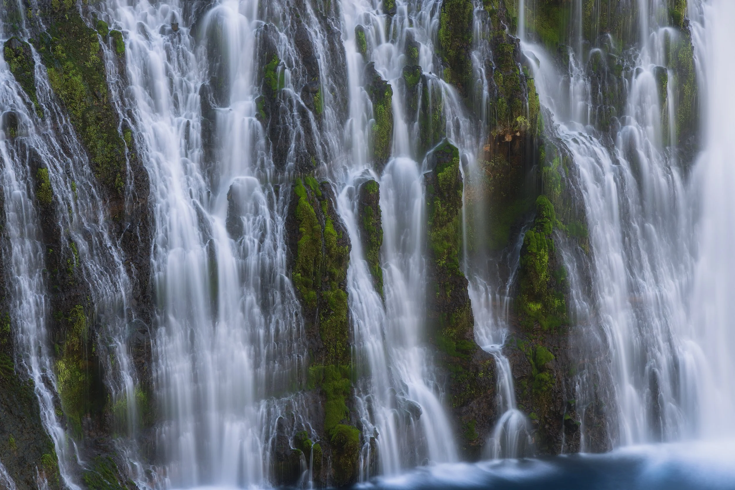
After a few switchbacks, our first view of the waterfall came into sight, and it was easily one of the most unique waterfalls I’ve ever seen. The water in the bottom pool was a brilliant, crystal-clear blue, looking almost like Gatorade. While two main columns of water plunged from the stream above, a multitude of smaller springs directly emerged out of the mossy rock face itself. Despite it being in the middle of the day, the falls luckily were mostly cast in shadow, making for even lighting across the gorge that was perfect for long exposure photography.
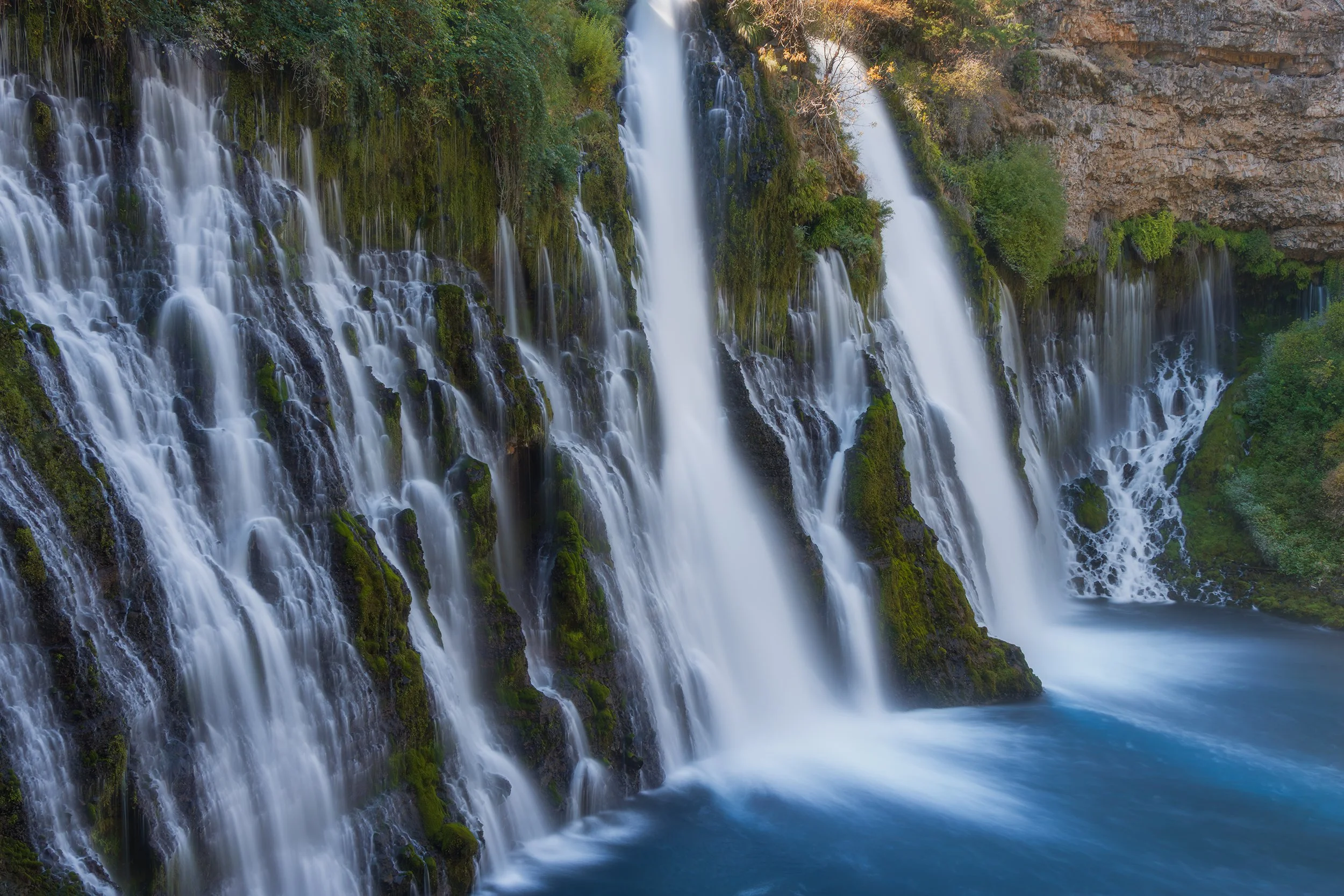
Eighth Wonder of the World, Canon EOS R5, 33mm | 6 sec., f/13, ISO 320
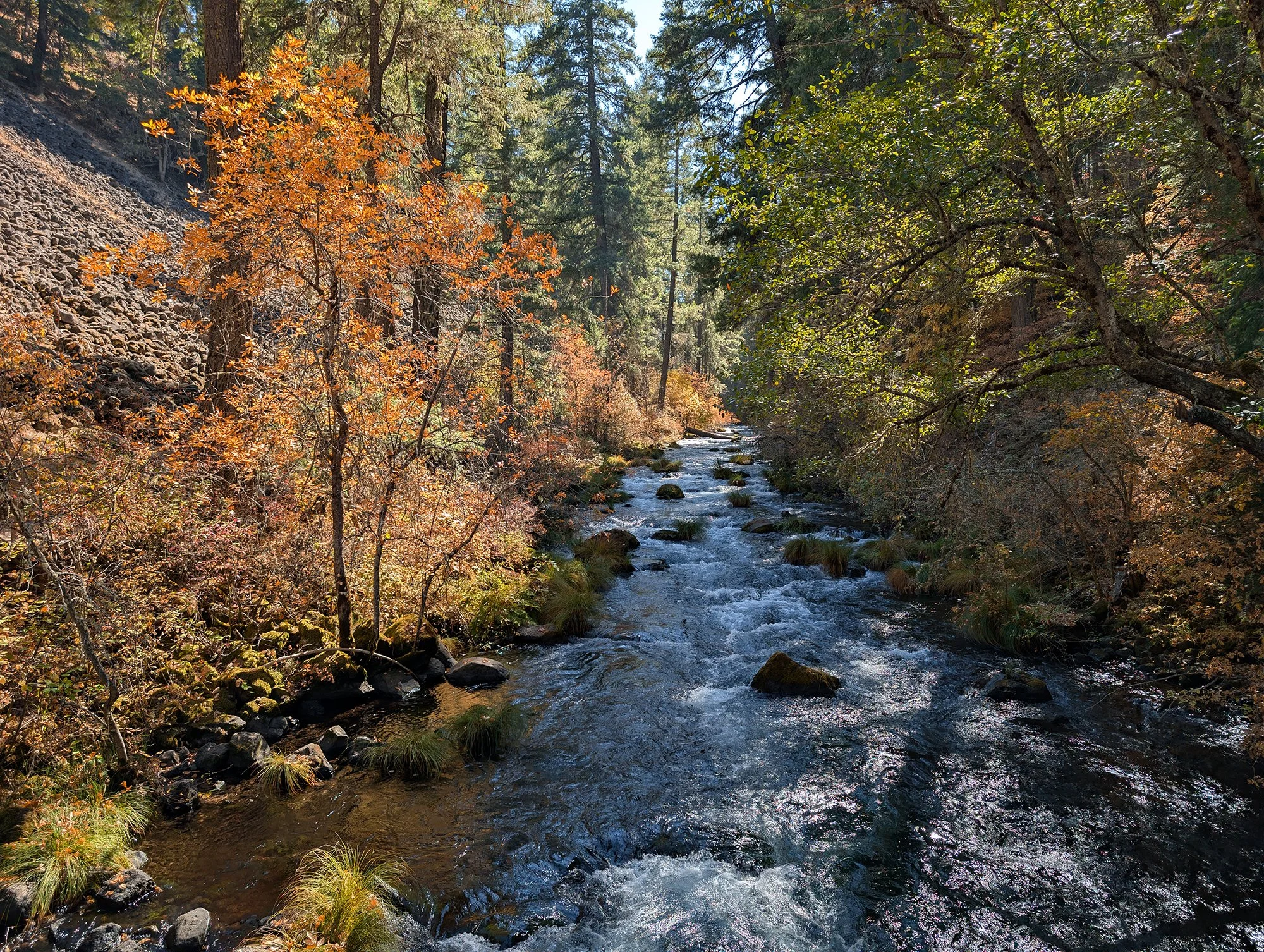
Standing at the bottom of the gorge, it was noticeably cooler – almost 15 to 20 degrees cooler than the rim – making it very pleasant while fine mist sprayed off the cascade. Vines wearing autumn leaves clung to the mossy rocks alongside tall evergreens. It’s no wonder President Theodore Roosevelt called Burney Falls the “eighth wonder of the world.”
Day 8 – The Central Valley and Changing Plans
Our original plan was to drive all nine hours to LA on this day. We slept in and went down for the hotel breakfast at 7 AM before hitting the road.
Once we got moving, the drive was going fairly smooth at first. We passed through miles of agricultural fields that the Central Valley is famous for, and in the distance, we could see the Sutter Buttes sticking up through the morning haze. Deemed the smallest mountain range in the world, their volcanic silhouettes looked surprisingly tall against the morning sun.
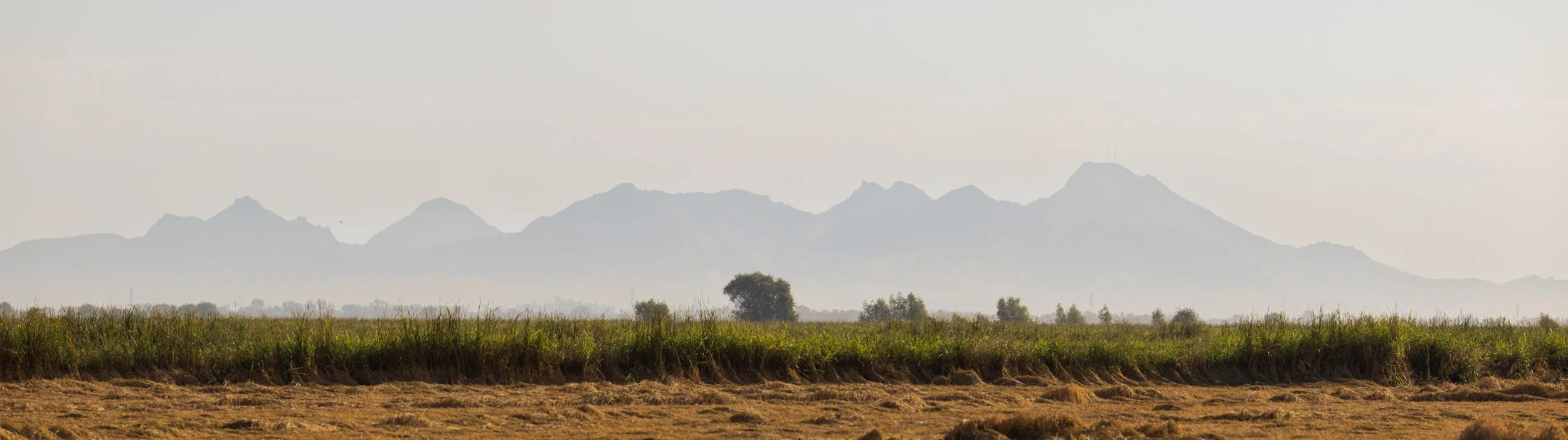
Morning Haze on the World’s Smallest Mountain Range, Canon EOS R5, 3-Frame Panorama, 400mm | 1/640 sec., f/11, ISO 320
However, after a toddler meltdown near Sacramento, we made the decision to “just see how far we can get today.” Knowing there were plenty of towns along California Route 99 where we could potentially spend the night, we left the interstate and continued trekking south. But the presence of those towns also meant heavy traffic once again. Modesto, Merced, Madera and Fresno all had major backups. Once we arrived in Fresno – which on a normal day is only just over three hours from LA – and saw that the GPS was still calling for almost six hours of traffic home we called it a day and decided to find a hotel.
We still dreaded the thought of returning to the gridlock of LA. After looking at a map, we decided to stay in the town of Visalia and spend the next morning driving into Kings Canyon National Park before heading home.
Day 9 – Deep Canyons and Heading Home
Kings Canyon National Park
I had no expectations for sunrise this morning. Being on the western side of the Sierra now, I knew I would not be capturing that classic alpenglow on the peaks as I did on the eastern side. Still, to maximize our day, we left the hotel in the pre-dawn darkness and made the hour’s drive up into the park.
The last time we were here was December 2023. Despite the lack of snow at the time, the road down into the canyon was closed, limiting what we could actually see. This was our opportunity to redeem ourselves. We drove past Grant Grove Village and continued down the road as it quickly began its descent into the canyon. After leaving sequoias behind, we came to a series of switchbacks that offered a side view of the canyon, and we arrived just in the nick of time as the sun had begun to rise.
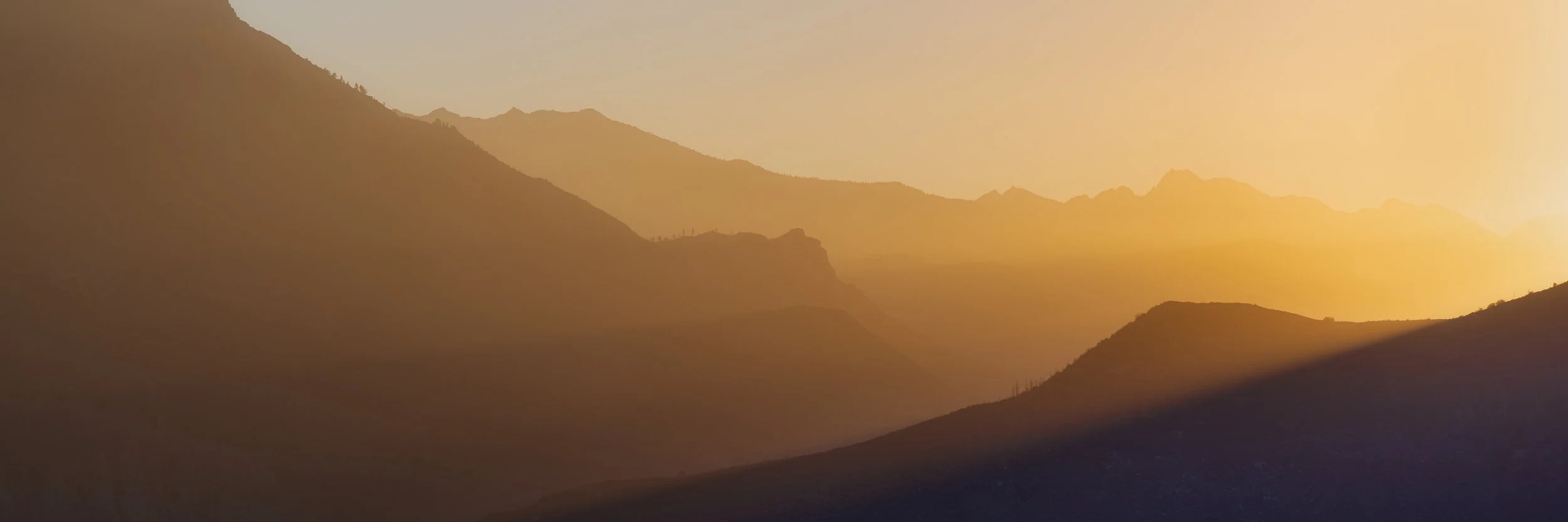
I had done zero planning for locations, so we found a pull off and waited. To my surprise, the rising sun aligned almost perfectly with Kings Canyon itself. A soft, foggy haze hung in the air that kept the light from being too harsh, creating a fantastic atmospheric gradient as light flooded across the wilderness. From our vantage point, I could see the road curving behind the cliffside, with a lone pine standing tall on the edge to frame the shot.
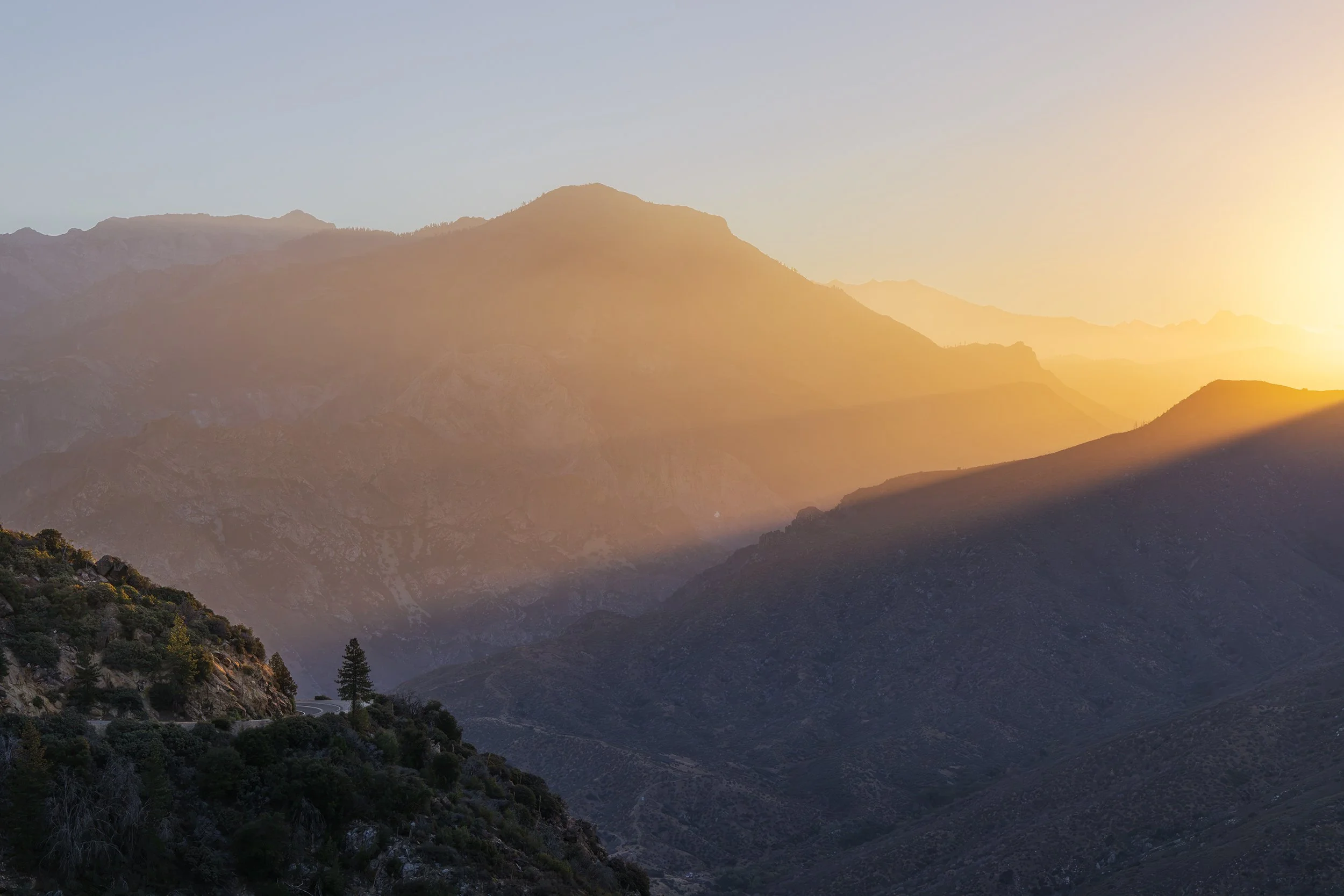
Golden Glow, Canon EOS R5, 61mm | 1/250 sec., f/13, ISO 320
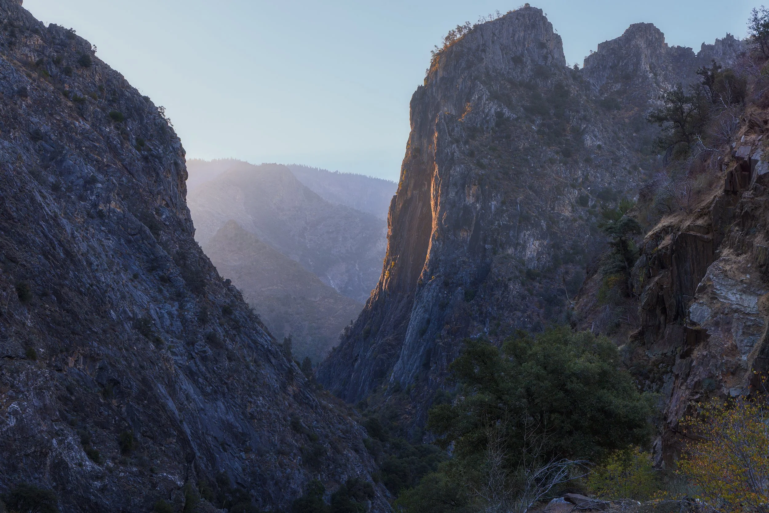
First Light on the Canyon, Canon EOS R5, 56mm | 1/125 sec., f/13, ISO 320
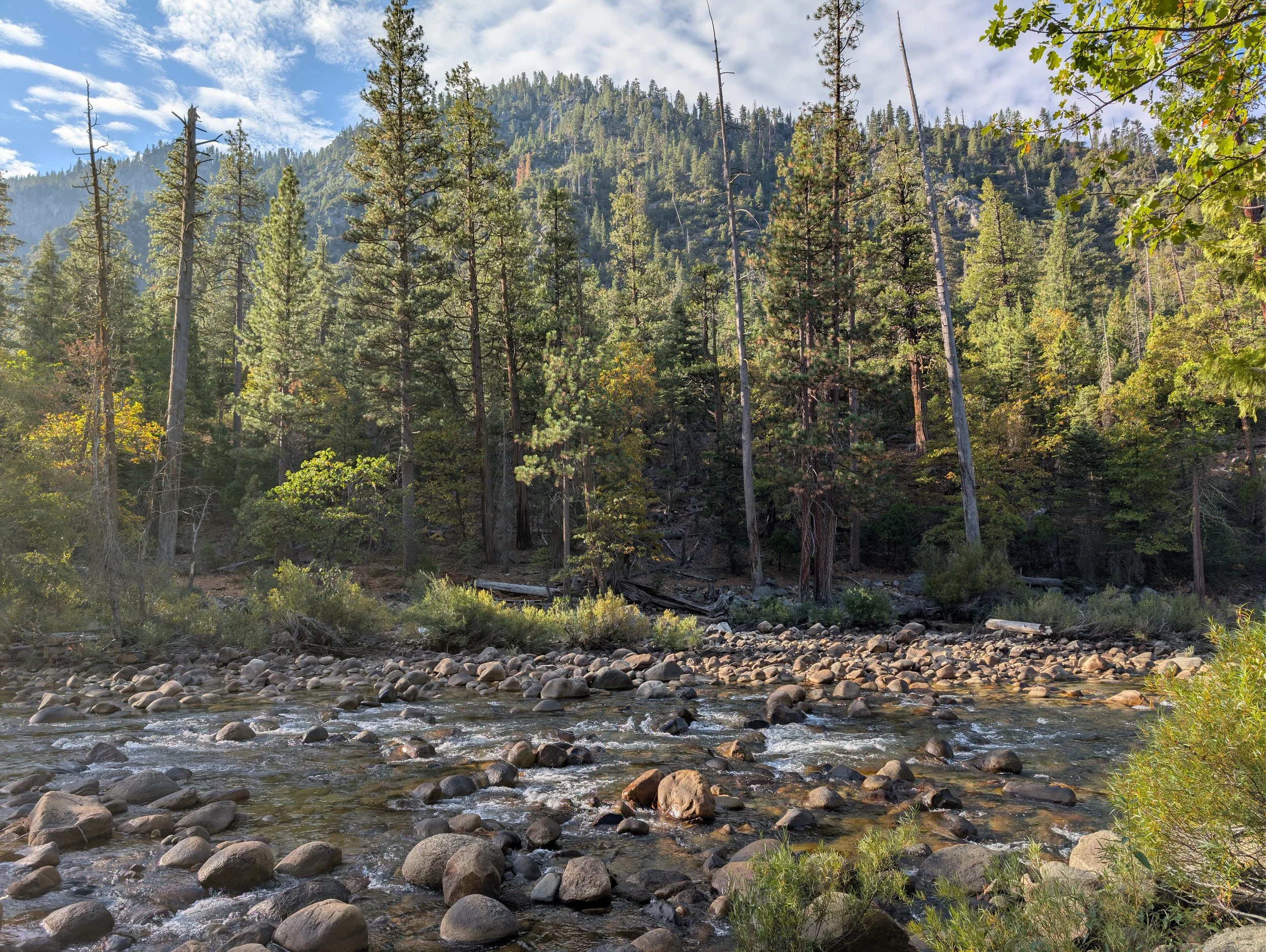
As the sun continued to rise, we made our way to the bottom of the canyon, where the granite walls towered impossibly high above us. Kings Canyon is actually deeper than the Grand Canyon, dropping over 8,000 feet from rim to river. We were finally able to take our photo with the national park entrance sign, walk around Cedar Grove to enjoy the sounds of the South Fork of the Kings River, and then we slowly began our drive back up the winding road towards Grant Grove.
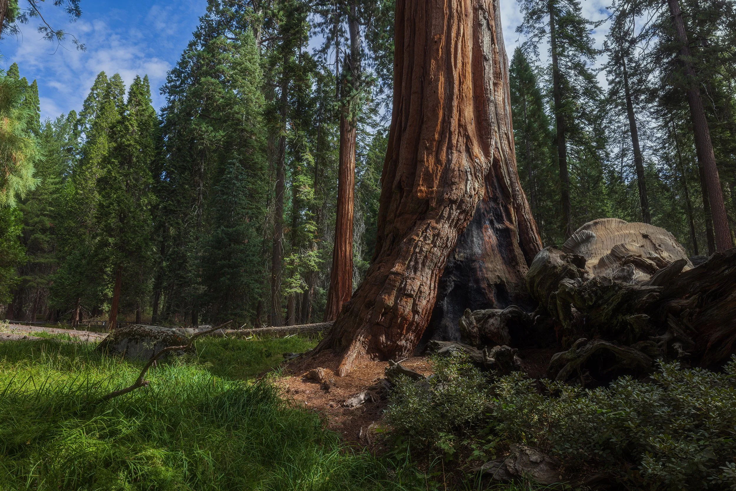
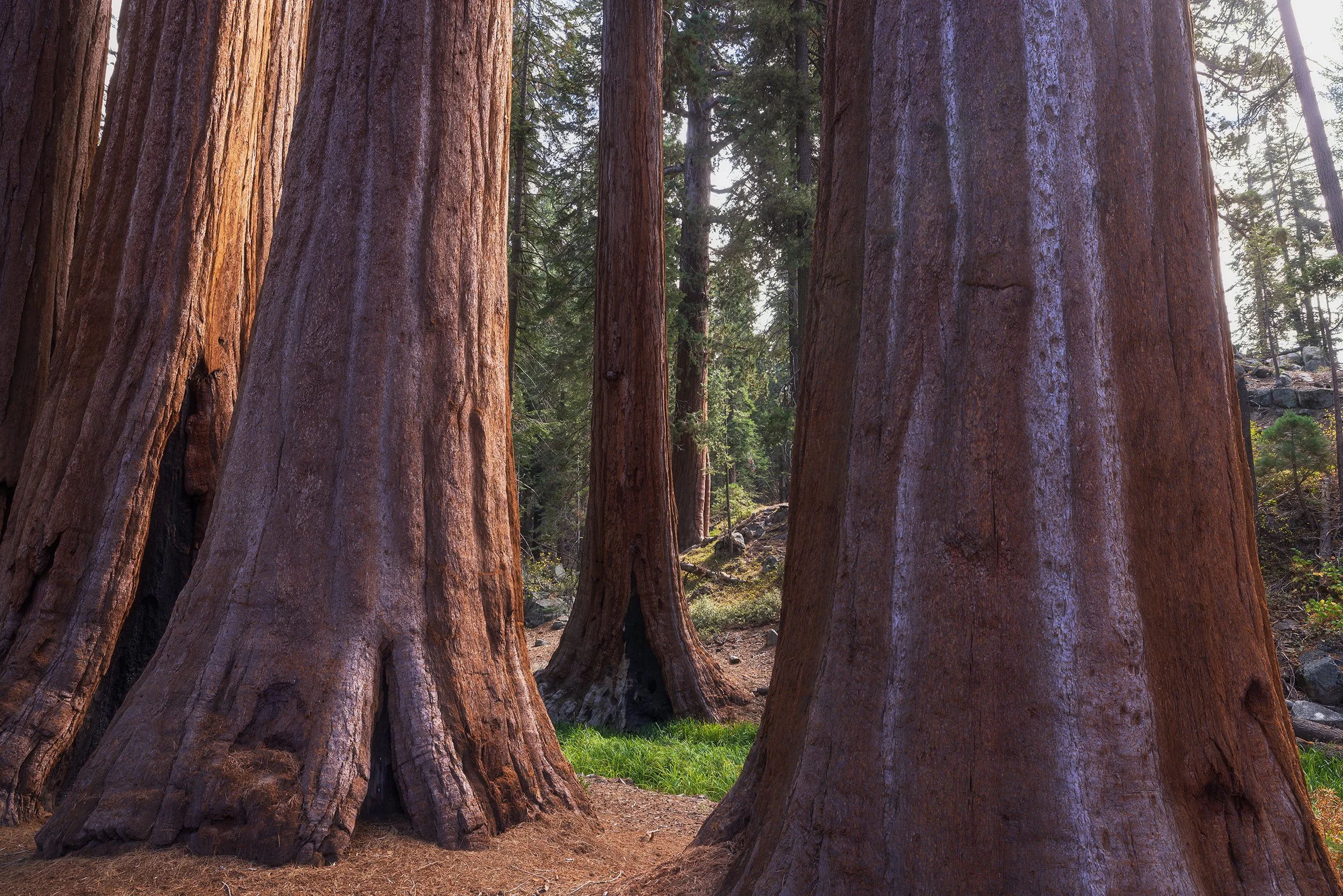
Once back at the top, we got Amelia’s 18th National Park stamp at the visitor center and walked among the giant sequoias of Grant Grove. Seeing these massive trees close up never gets old. After a quick, impromptu lunch in the parking lot, it was finally time to end the trip and head back home.
The Drive Home
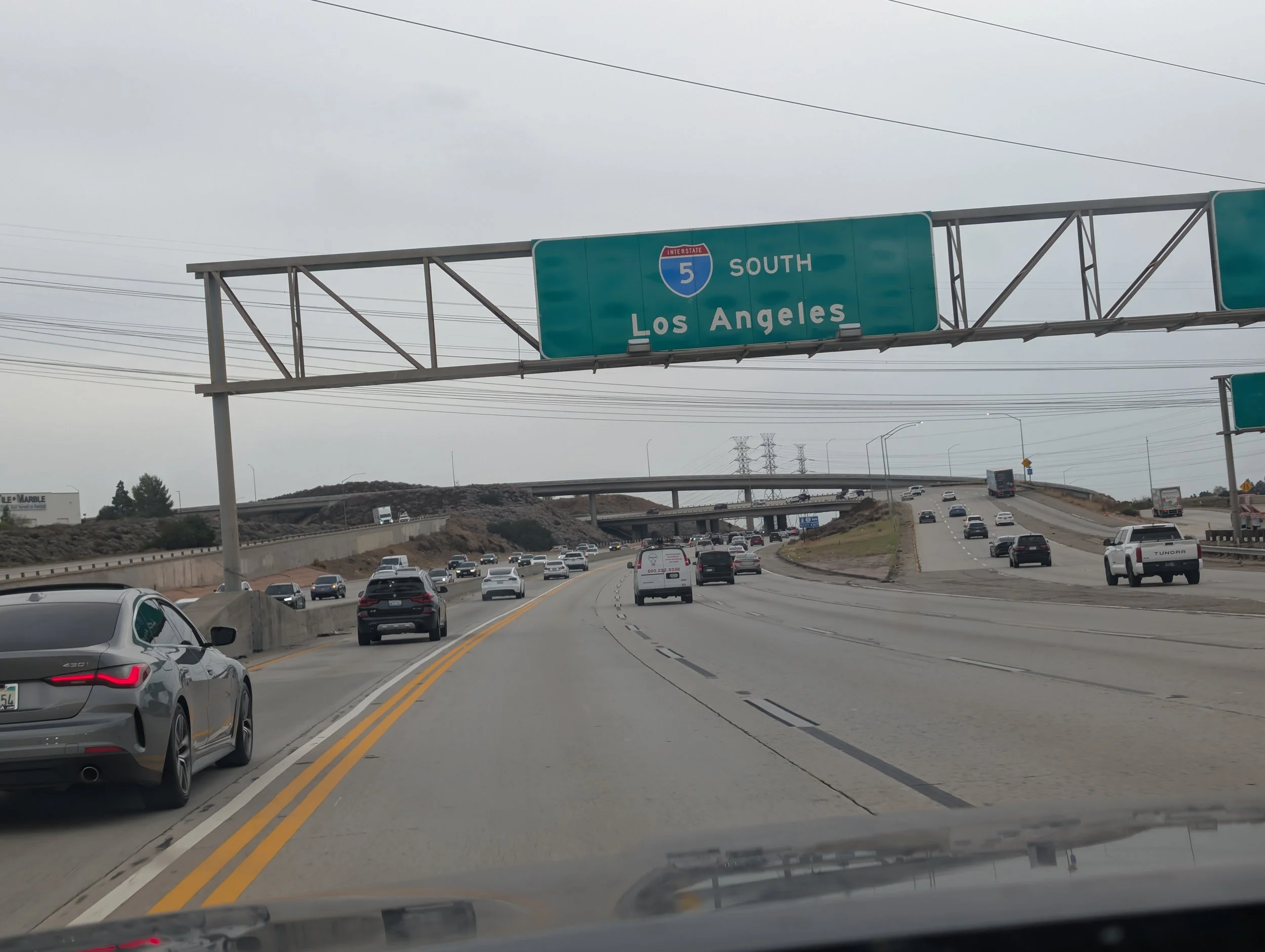
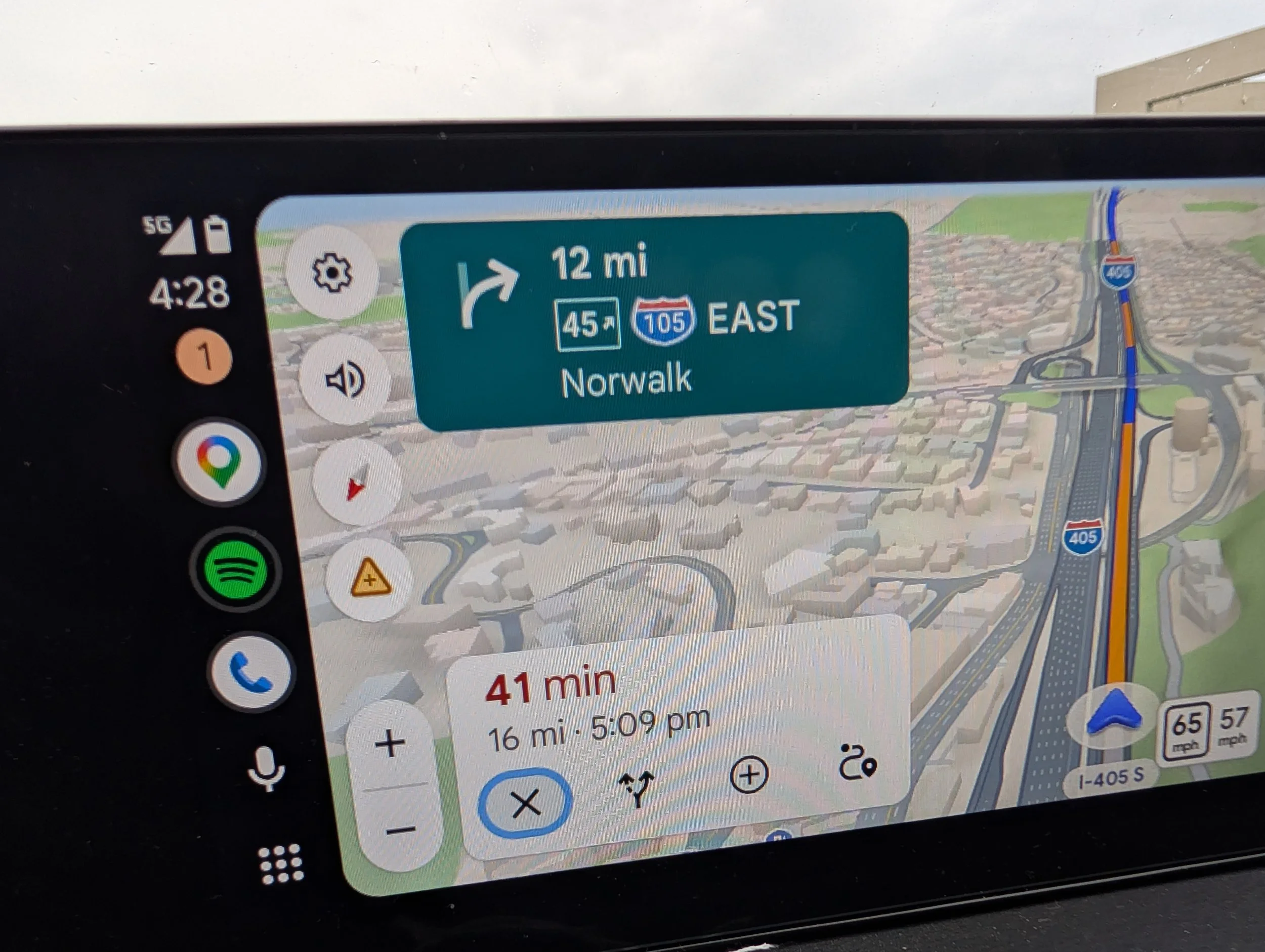
The drive home was fairly uneventful. After leaving the Sierra in our rearview mirror, I kept doing math in my head as I watched the time fail to tick down on the GPS, even though the miles kept on passing by. We once again climbed up into the Angeles National Forest, and I made a few mental notes of some spots that seemed interesting to revisit later, before descending into the “Valley.”
That was where the gridlock hit us hard: over 1.5 hours to travel the final 30 miles. We crawled along in the parking lot known as I-405, watching cars swerve and motorcycles lane split past us at full speed.
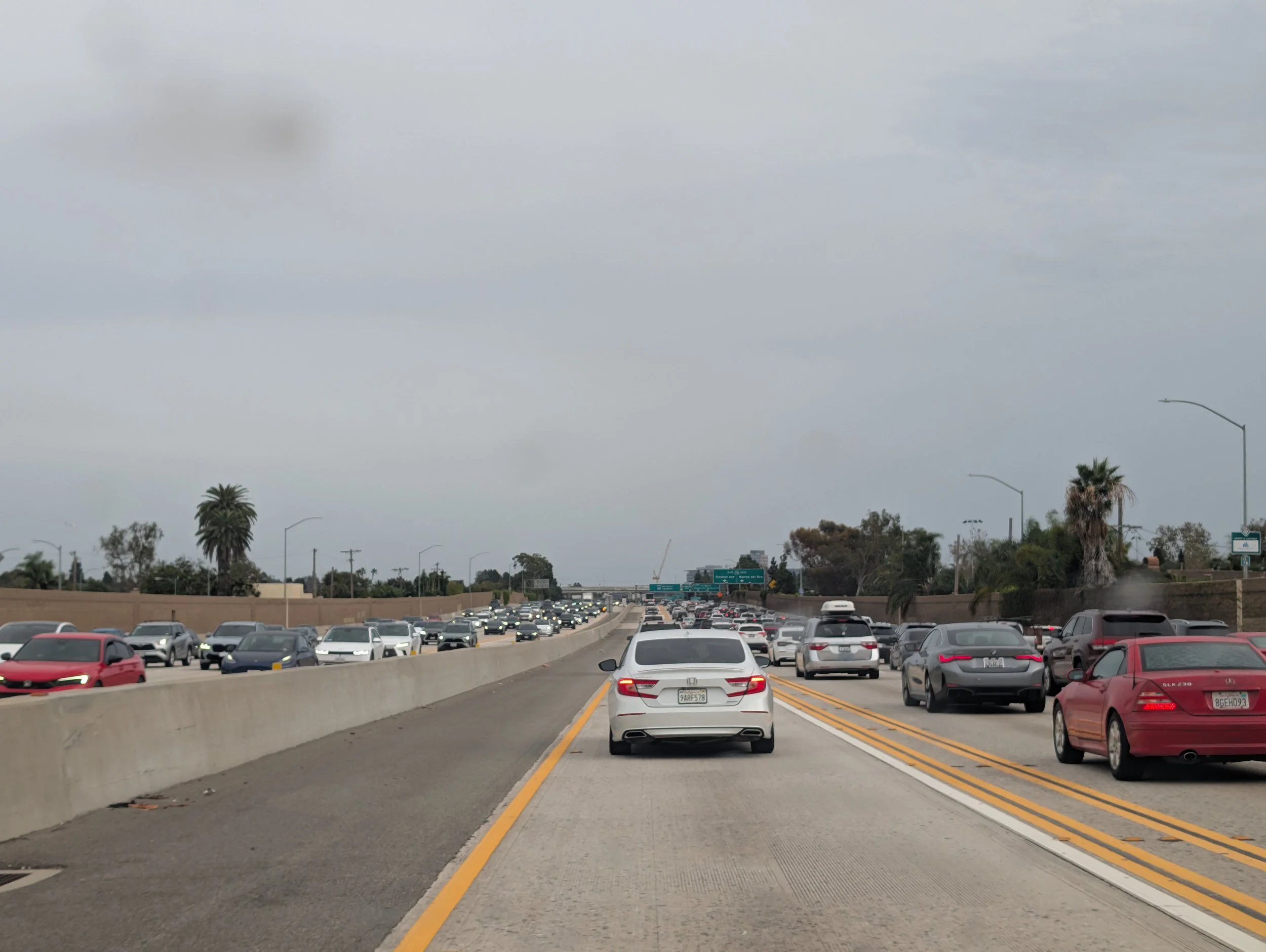
While frustrating, sitting there in the middle of the noise and concrete gave me a great sense of clarity. It made me appreciate every single mile of the over 2,000-mile journey even more. It made the early alarms, cold winds, muddy shoes, and the isolation feel infinitely more valuable.
Out there, watching our daughter splash in cold alpine lakes, spotting wild bears along distant shorelines, and looking up at ancient trees, I was reminded of why Meagan and I fight so hard to travel like this. In a world that constantly seems to glue our kids to glowing screens and noise, we want our children to grow up grounded in reality. We want them to play in the dirt, see animals up close, and understand the power of wilderness. Taking Amelia to these places at a young age is not always easy, but instilling that sense of respect for the natural world, and hearing her say “wow,” is one of the most rewarding things we can ever do as parents.
After driving through that infamous LA traffic and pulling into our driveway, a heavy longing immediately set in. I was already itching to pack the car back up, grab my camera, and escape once again. I missed the sharp smell of pine needles, the gentle whisper of the wind, and the feeling of total peace when watching a sunrise. Landscape photography has never been just about taking a pretty picture for a wall; it is my way of holding on to these fleeting, almost sacred moments in a world that moves far too fast (or for LA, far too slow).
These trips aren’t just temporary vacations. They change how you view the world, refine your perspectives, and ground your spirit. I may be stuck in the city chaos for now, but my eyes are already looking at the map, searching for the moment where we can get back out to the mountains, the desert, or anywhere while under an open sky.
If you want to follow the journey behind the lens and receive deep, unfiltered field dispatches, gear breakdowns, and downloadable phone wallpapers directly from the backcountry, consider joining our community below!